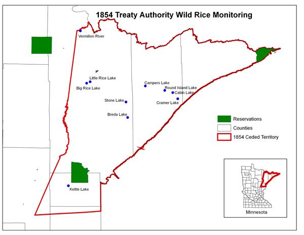
The 1854 Treaty Authority initiated a wild rice monitoring program in 1998. When compared to the historic record, a decline in wild rice abundance seems apparent. However, no formal record exists and present trends are even less apparent. The wild rice monitoring program attempts to document wild rice abundance. Monitoring has been conducted on seven lakes in the 1854 Ceded Territory each year from 1998-2023. The monitoring program in 2002-2023 has included the same ten lakes and rivers.
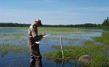
Water depth and water temperature are tracked on each lake soon after ice out until late fall. Field measurements and water sampling for laboratory analysis are also conducted to obtain water quality information.
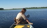
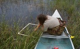
Surveys to estimate wild rice density are completed on each lake when the rice is standing and reaching maturity. Wild rice biomass is then calculated for each lake to compare success across years. A report entitled "Wild Rice Monitoring and Abundance in the 1854 Ceded Territory (1998-2023)" is available on the reports page.
Aerial photographs were taken of each lake in 1999 through 2023. These photographs are used to further document wild rice coverage. In addition, a cooperative effort with other partners including the Minnesota Department of Natural Resources, Fond du Lac Band, and U.S. Forest Service began in 2007 to take aerial photographs each year on a group of 70-80 lakes and rivers in the region.