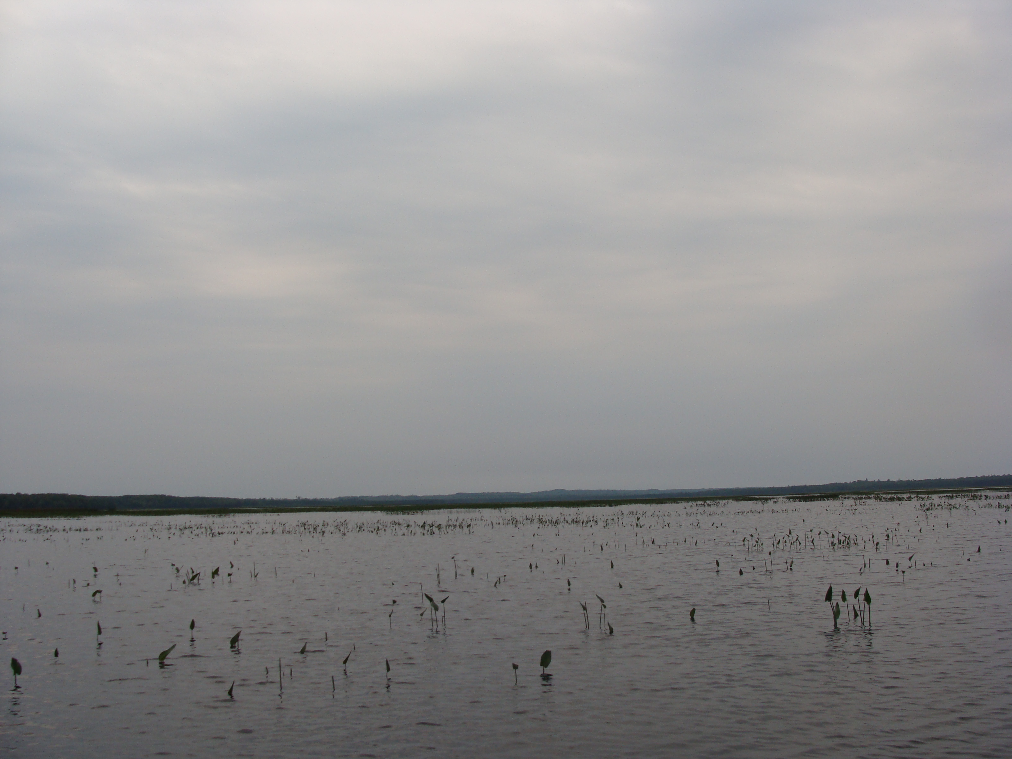
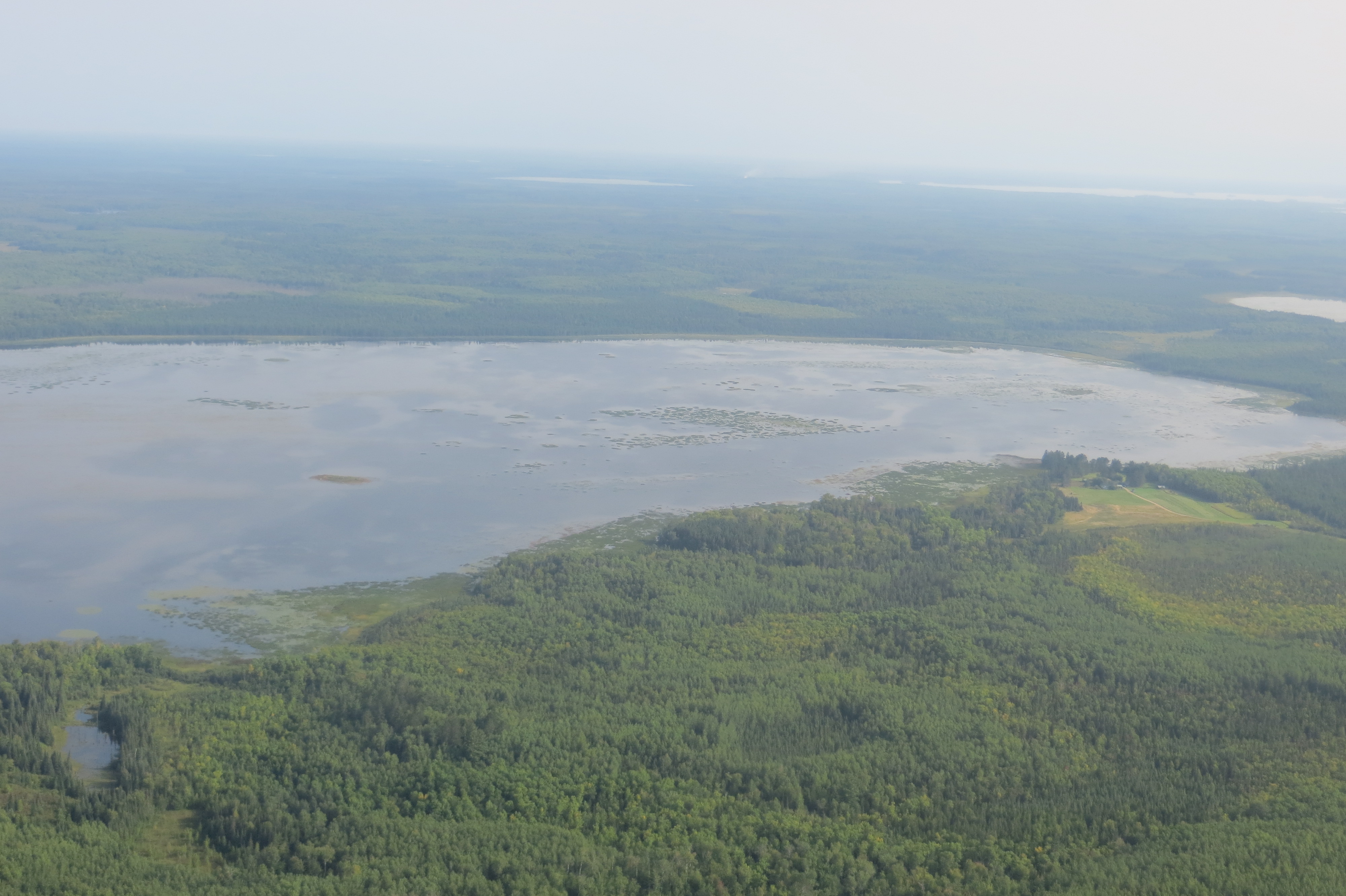
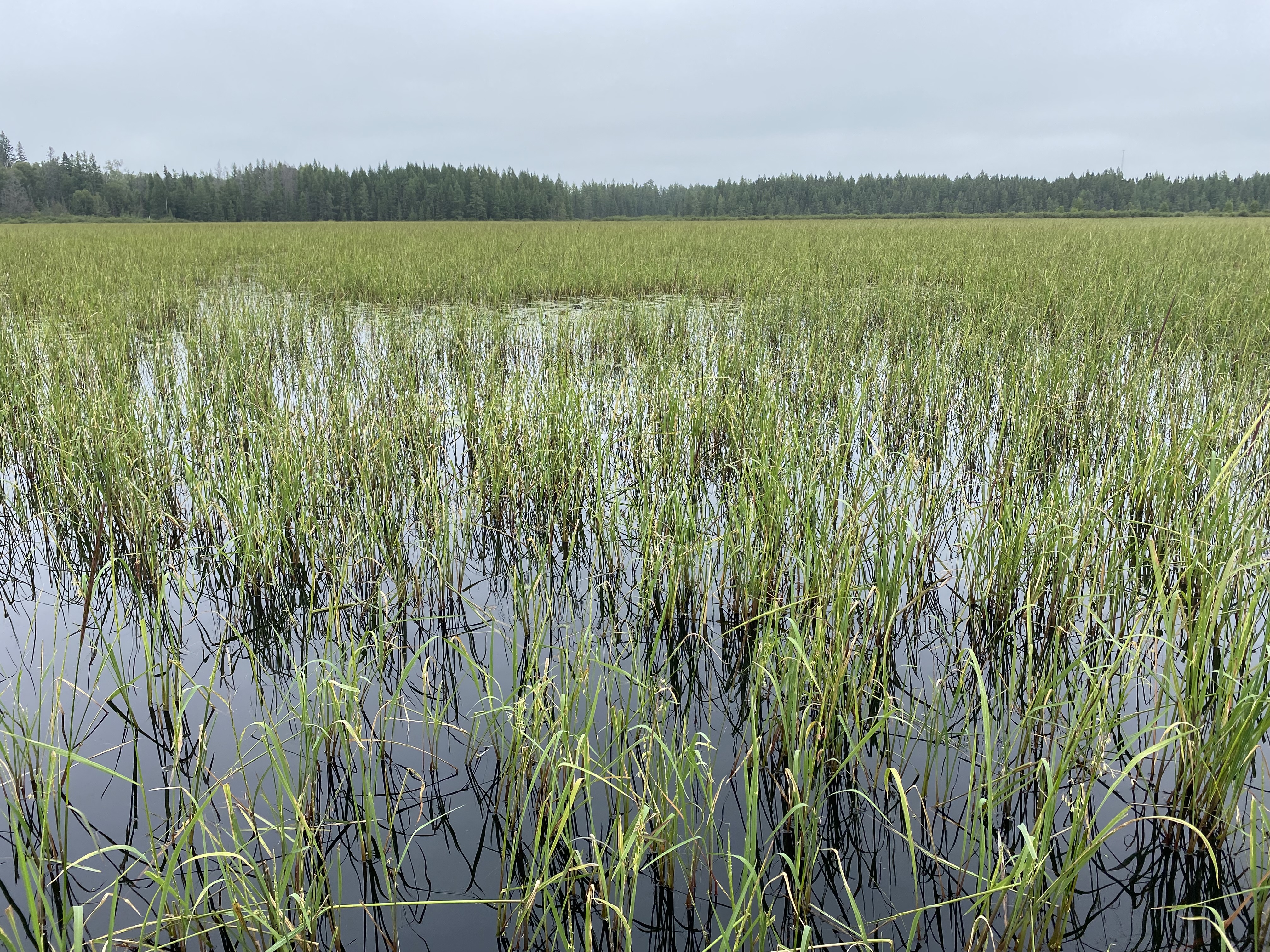
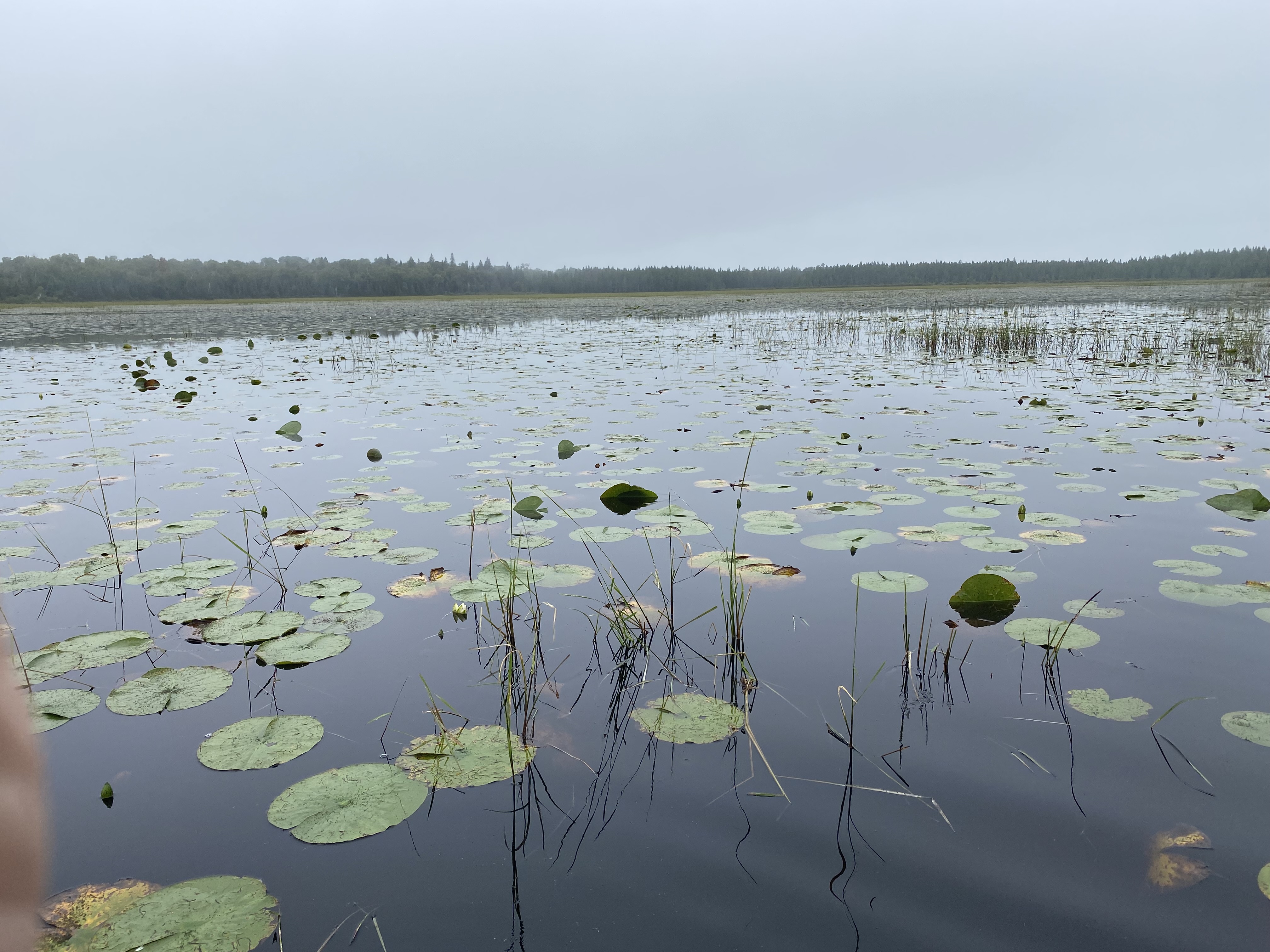
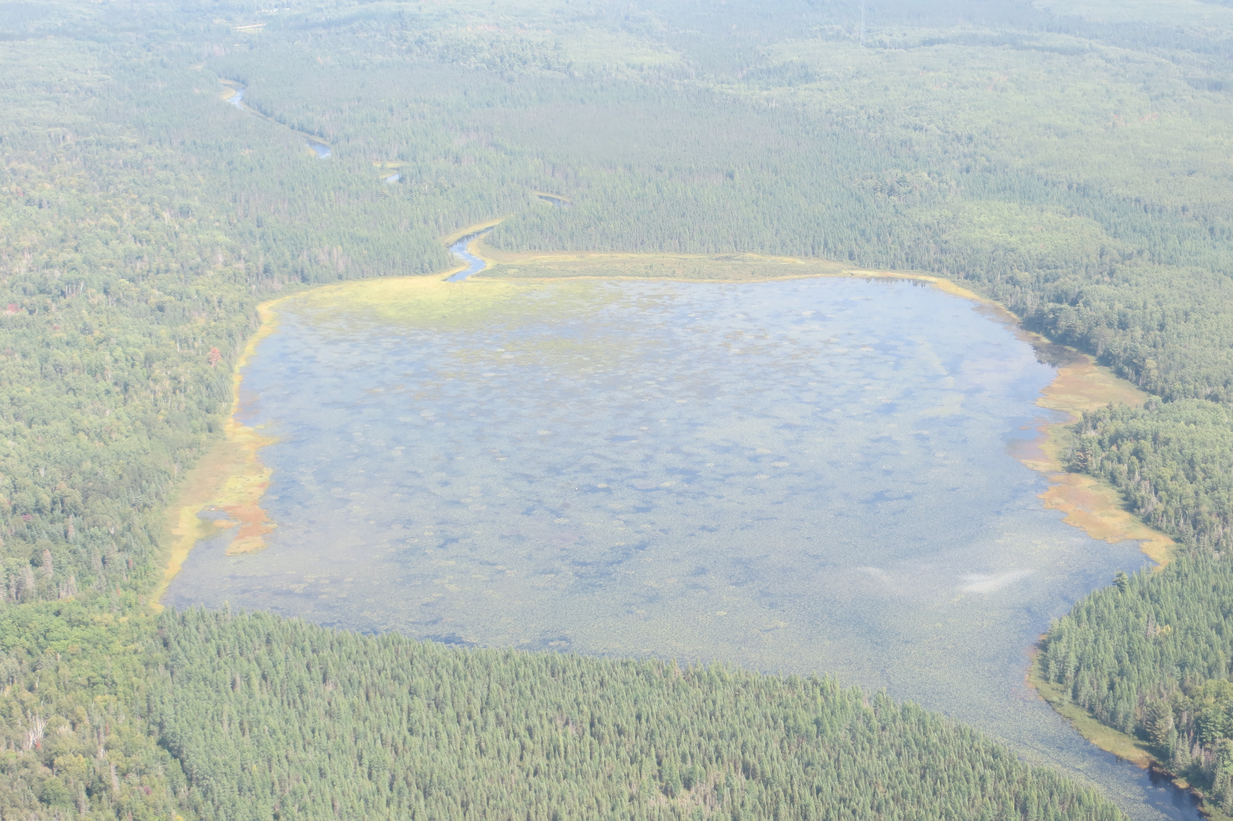
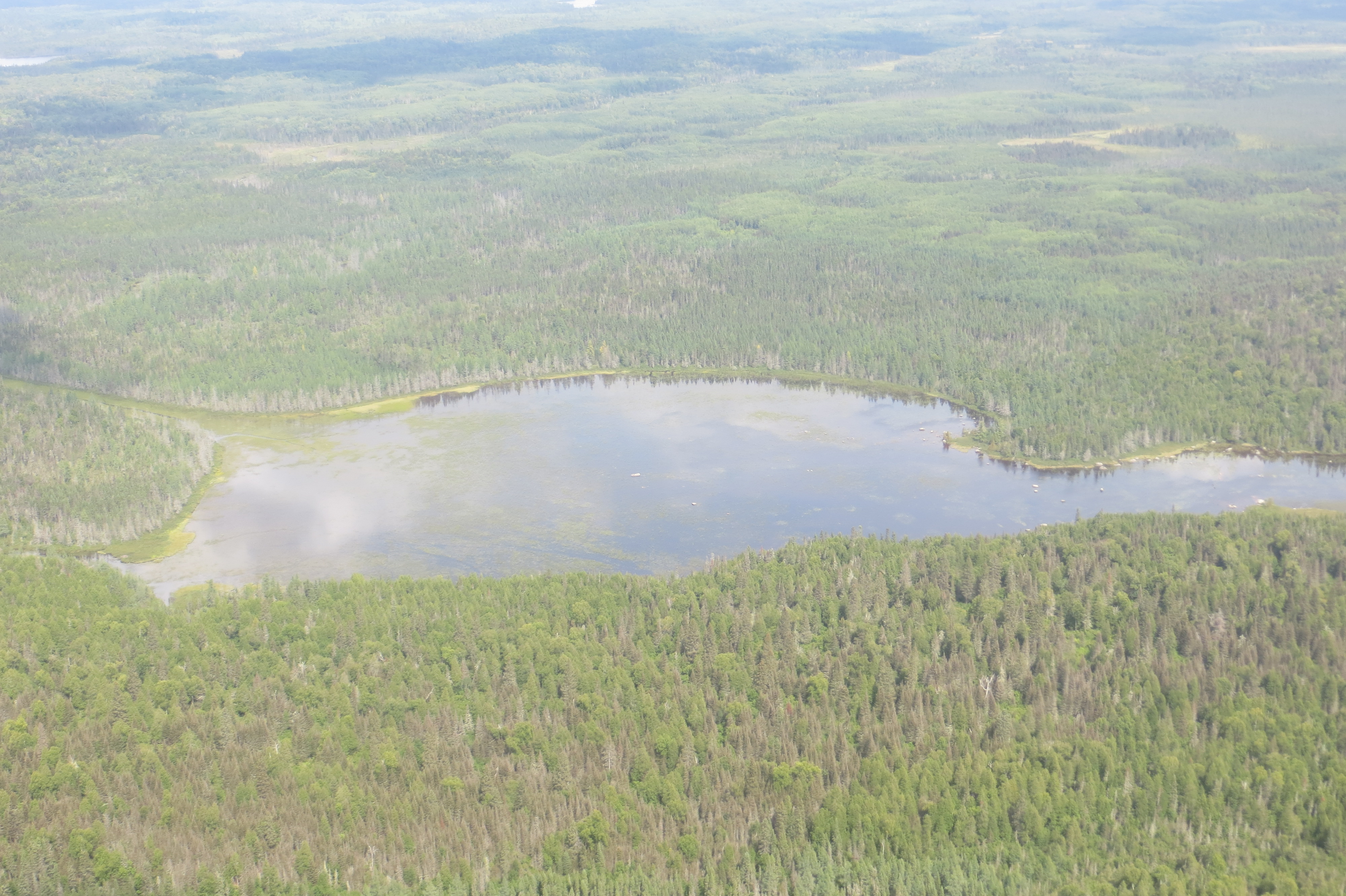
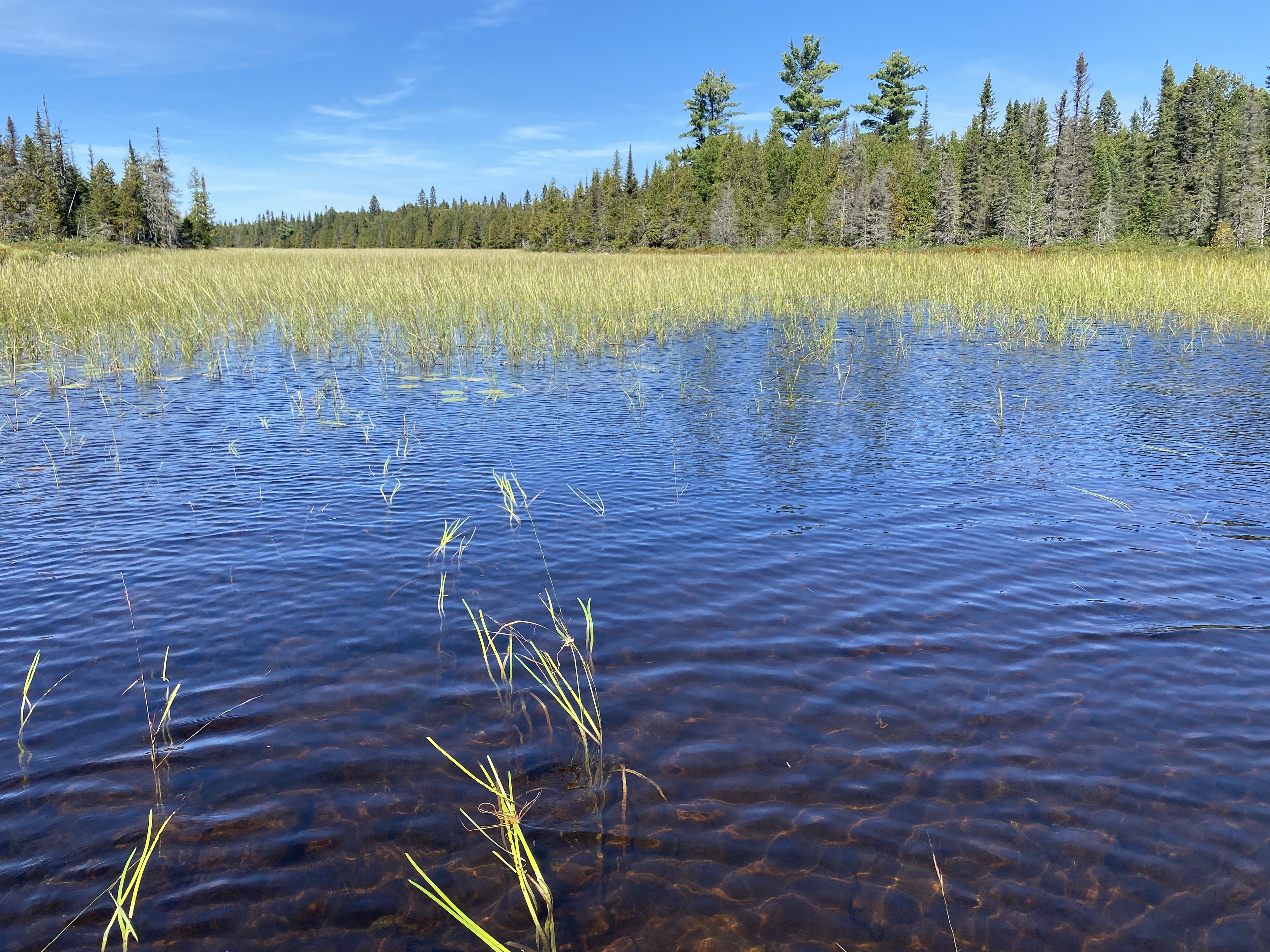
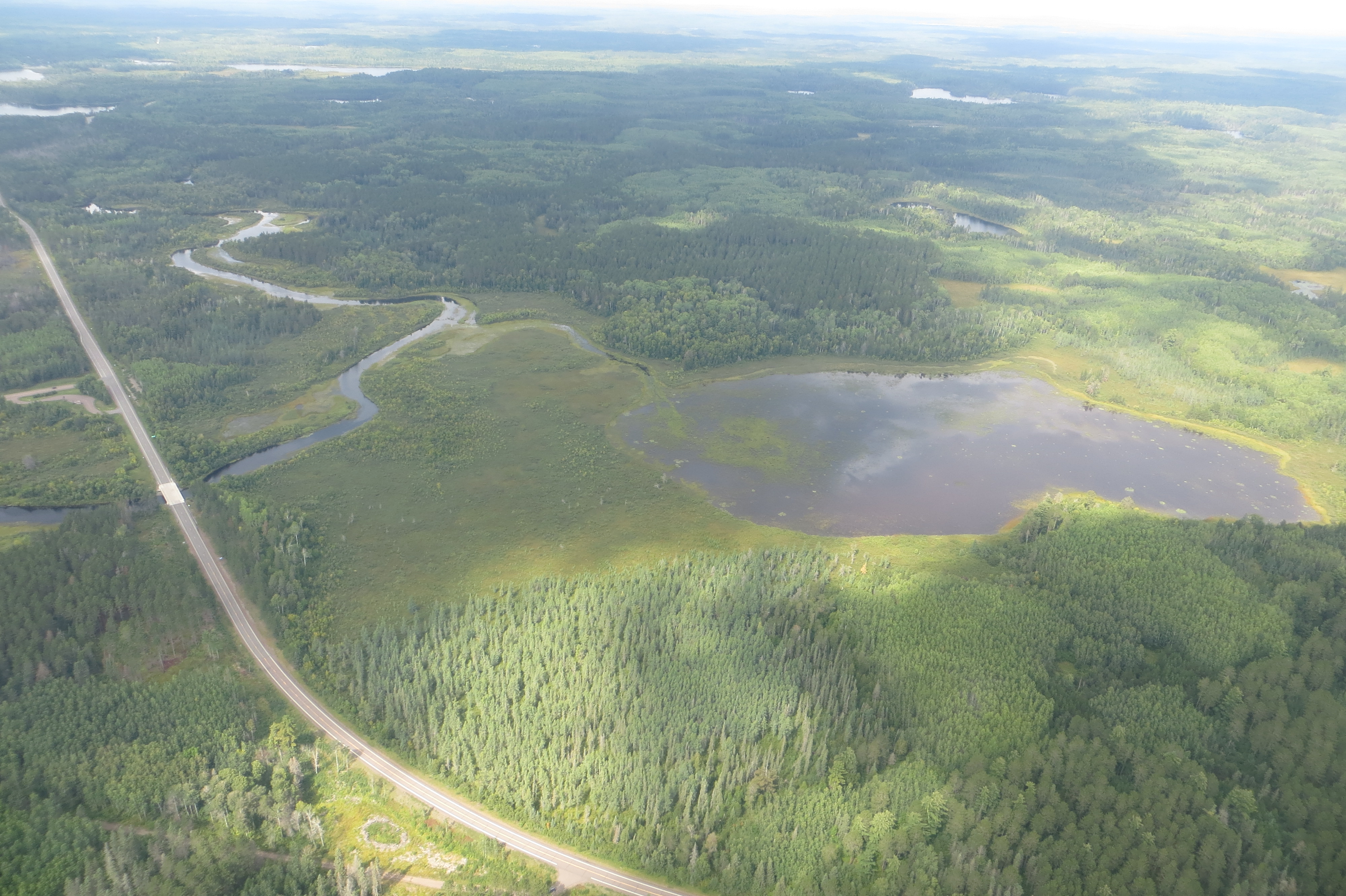
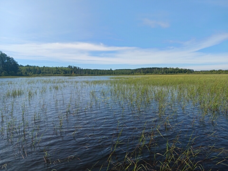
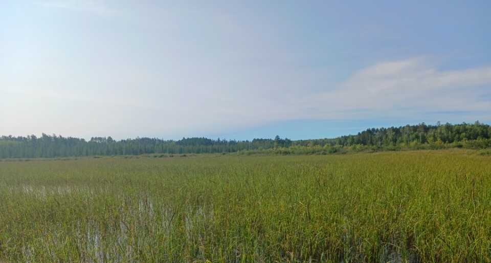
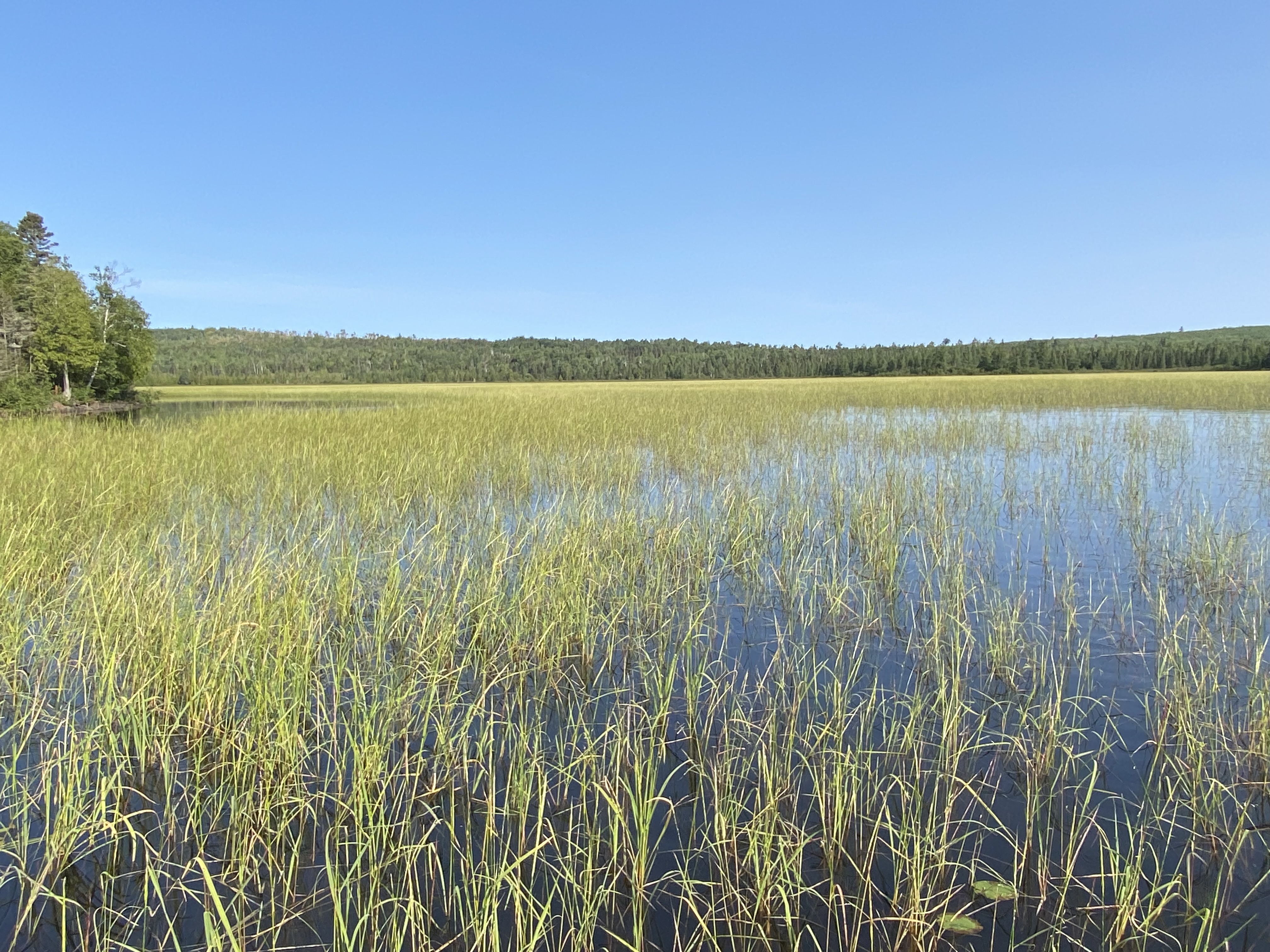
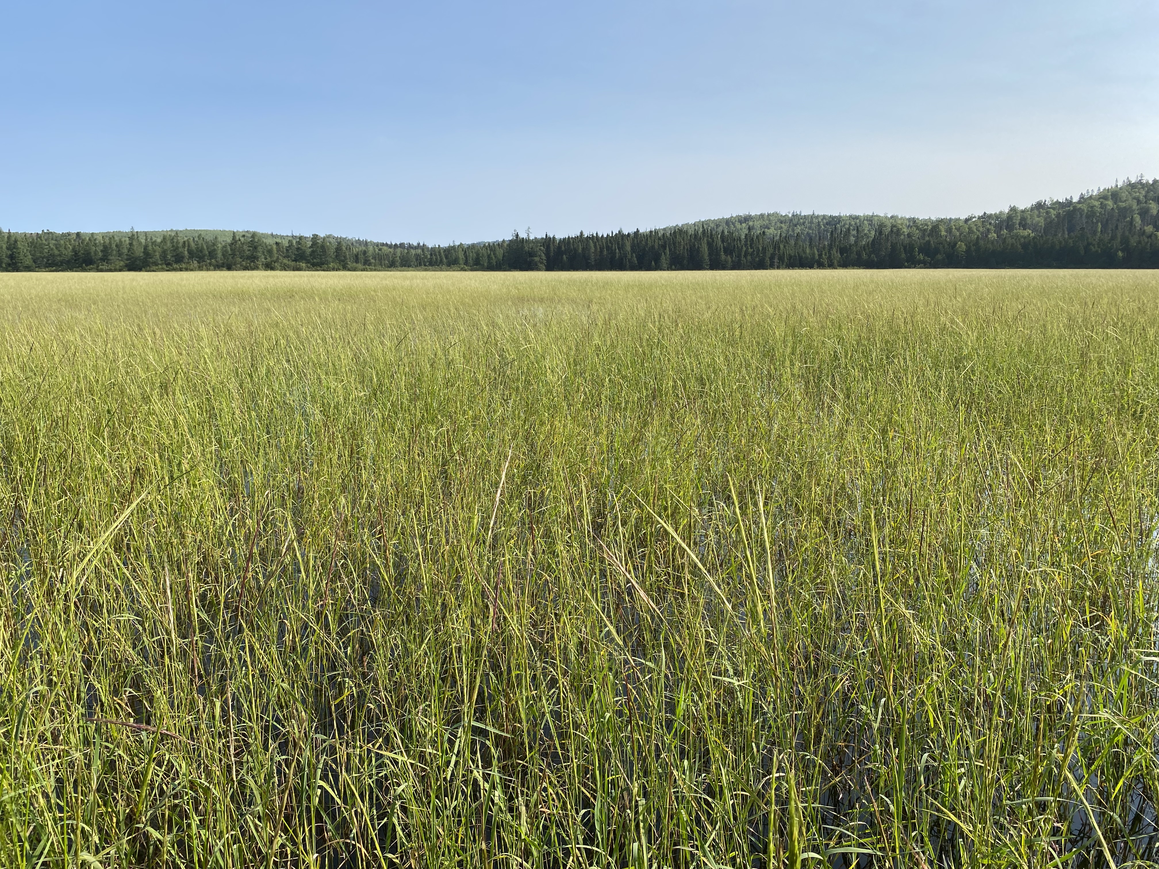
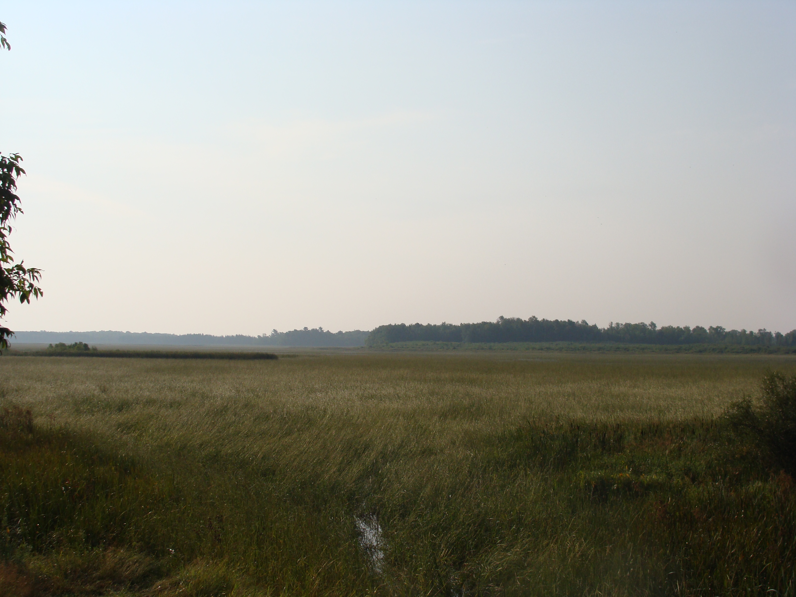
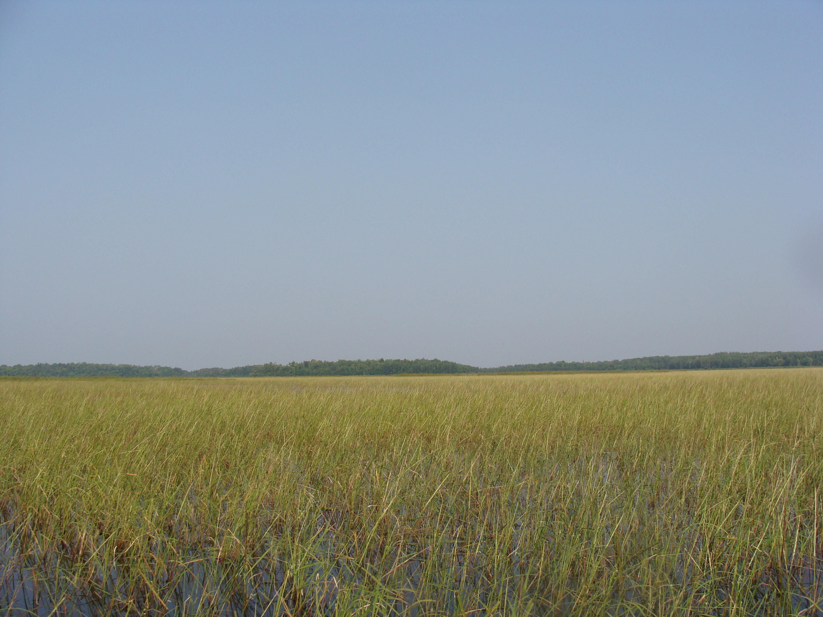
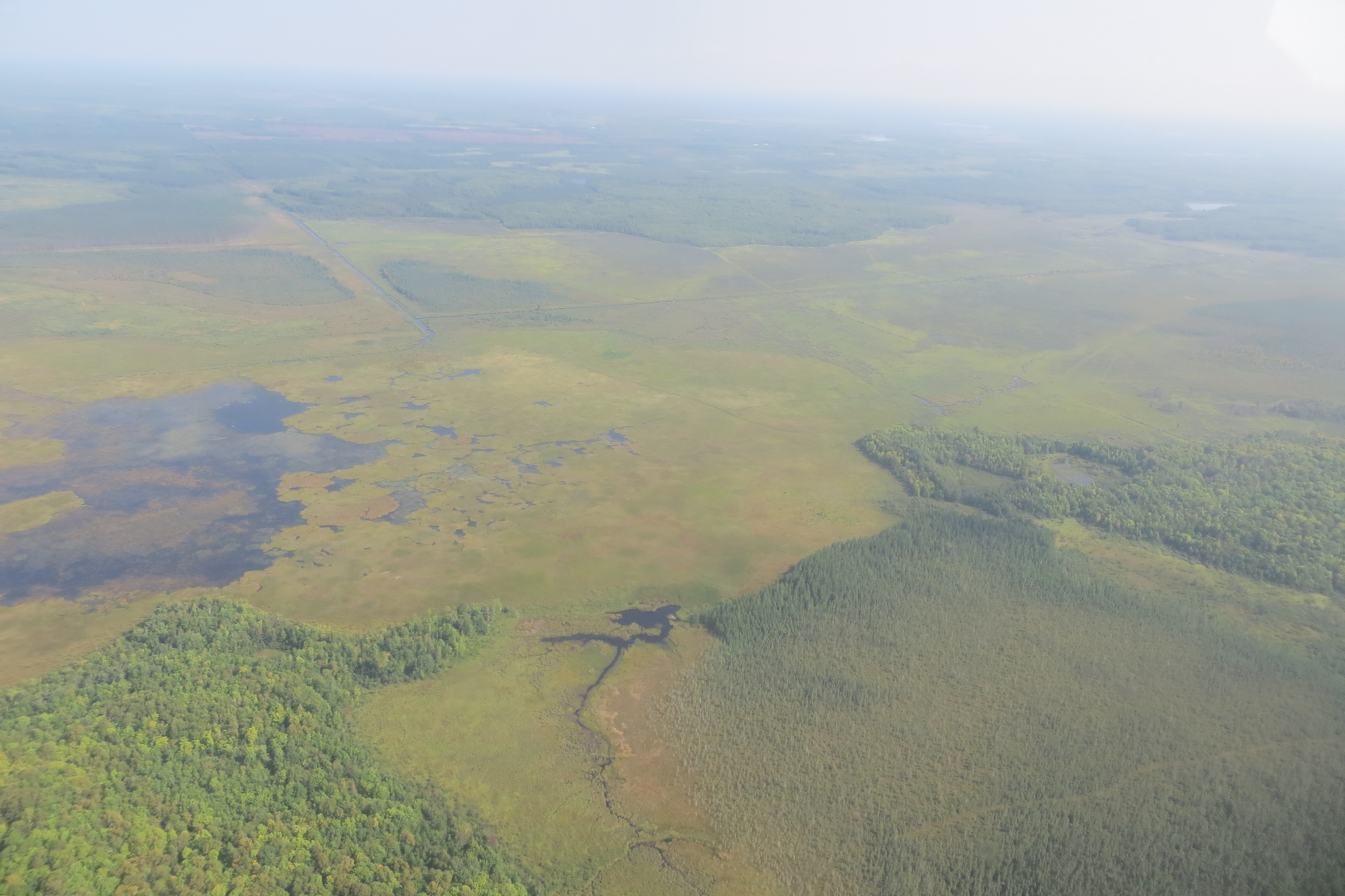
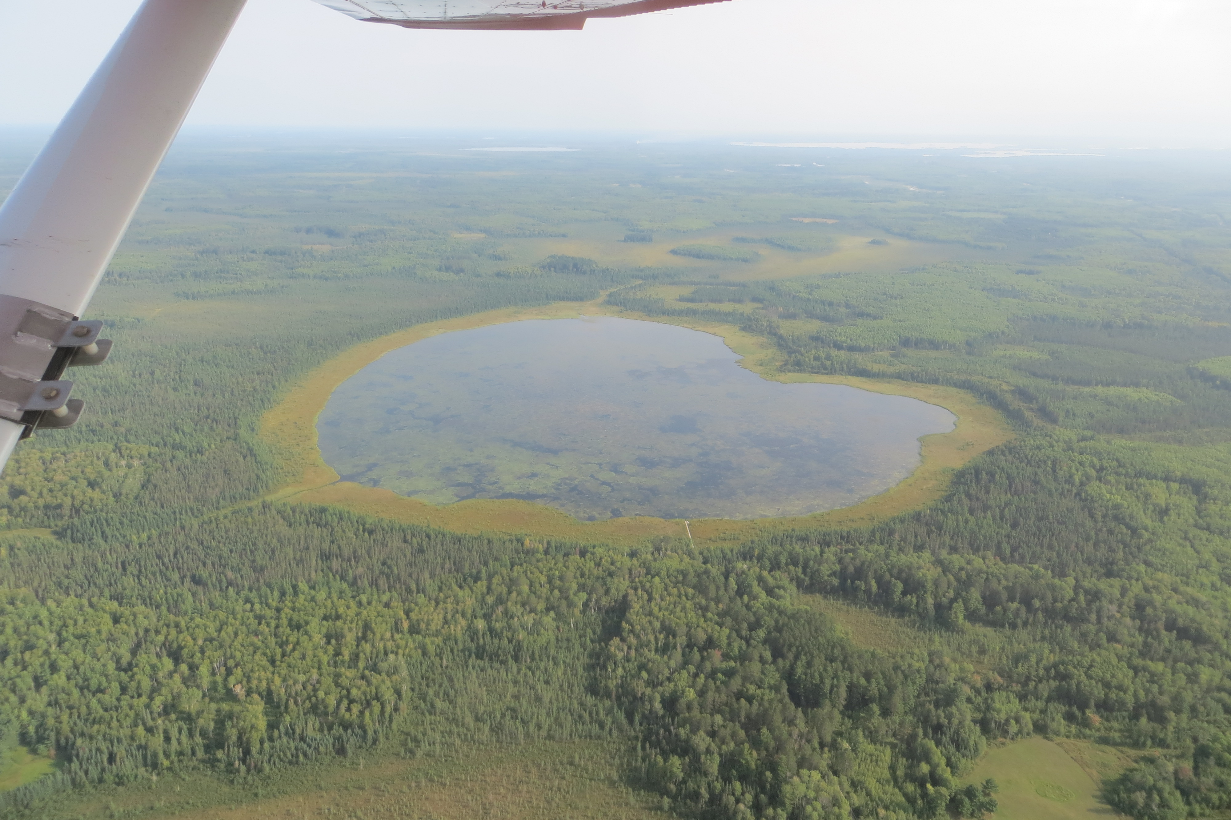
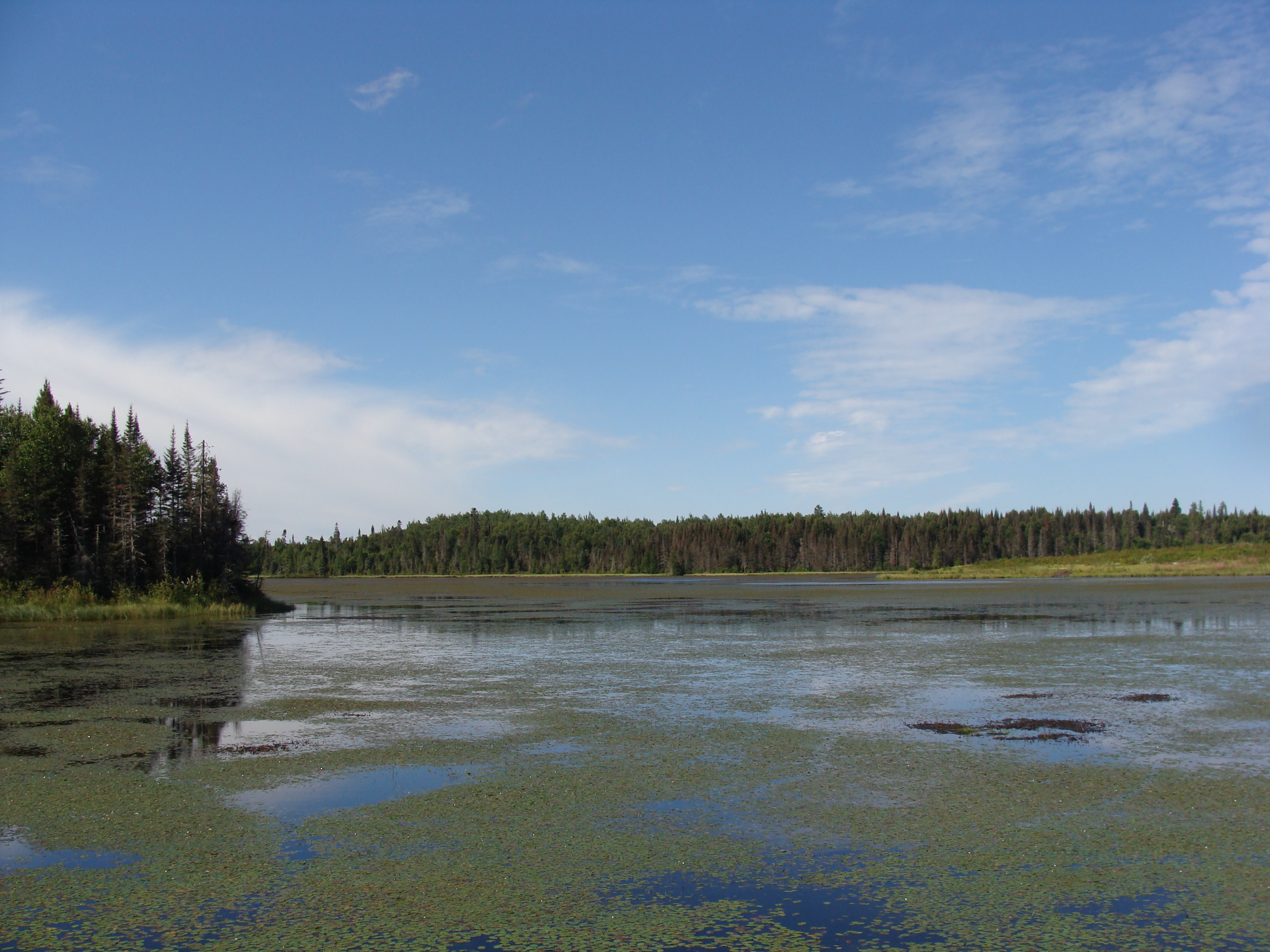
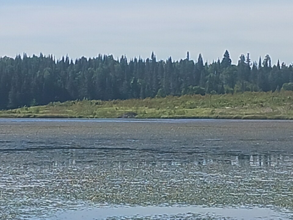
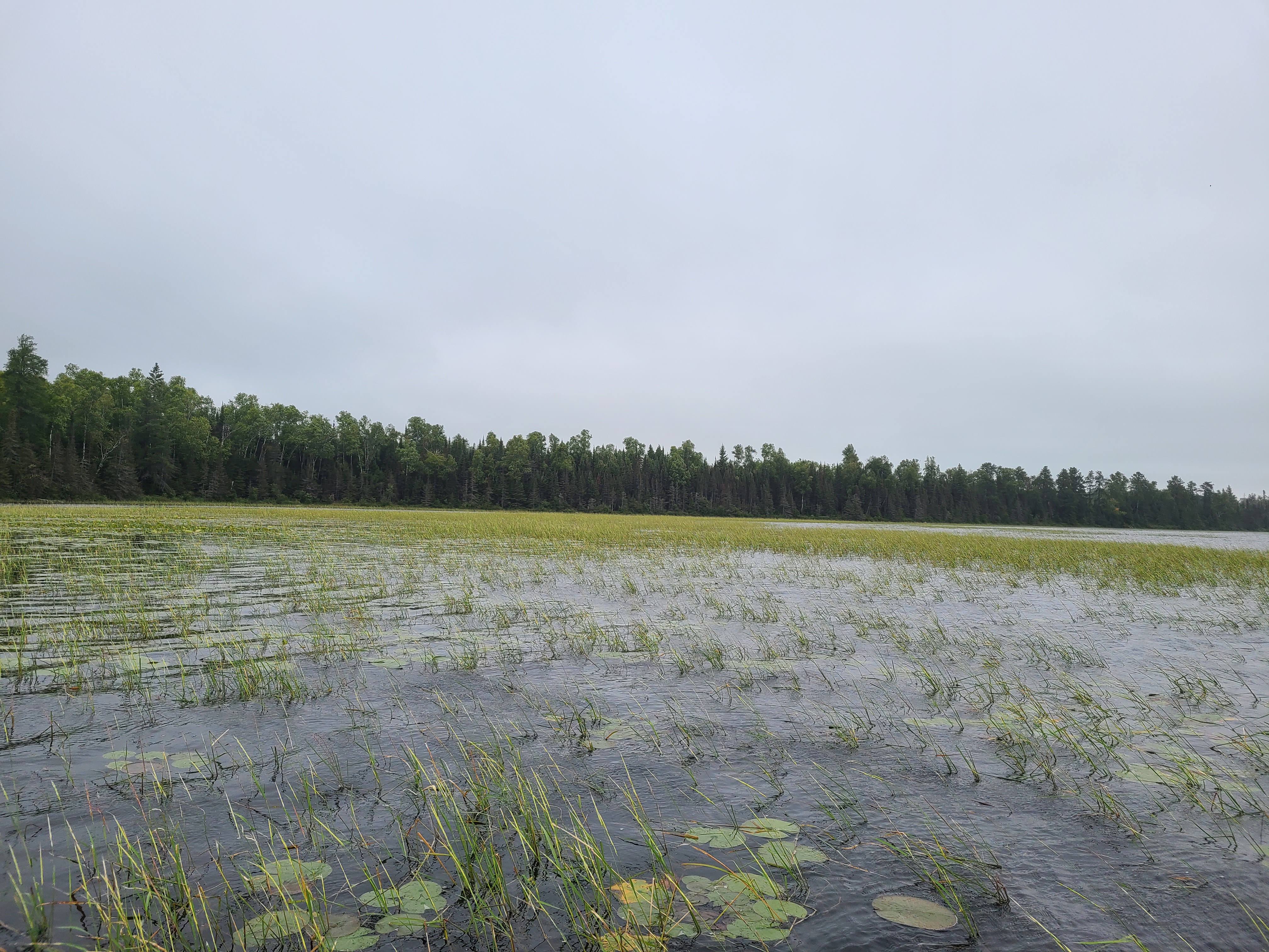
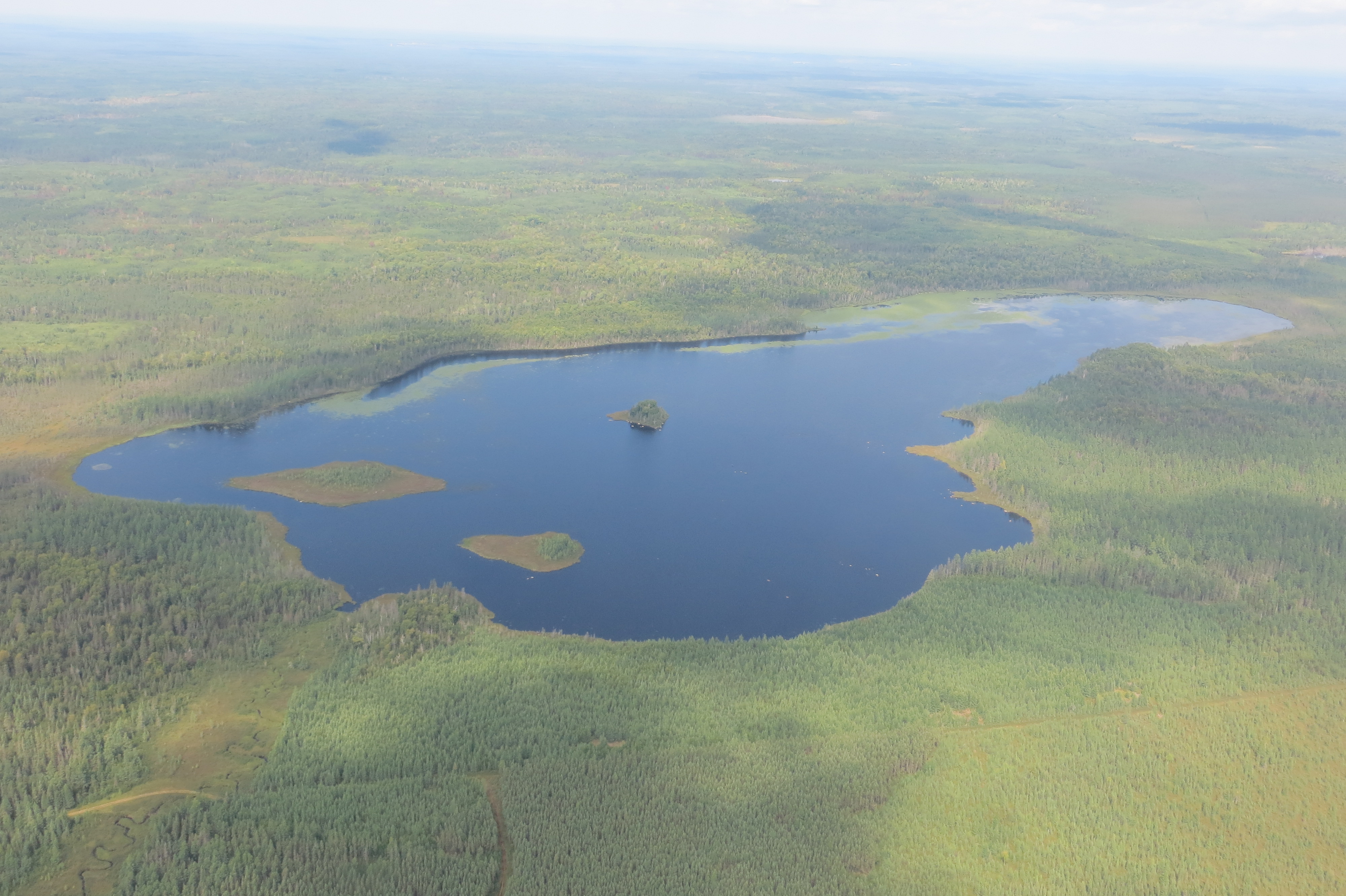
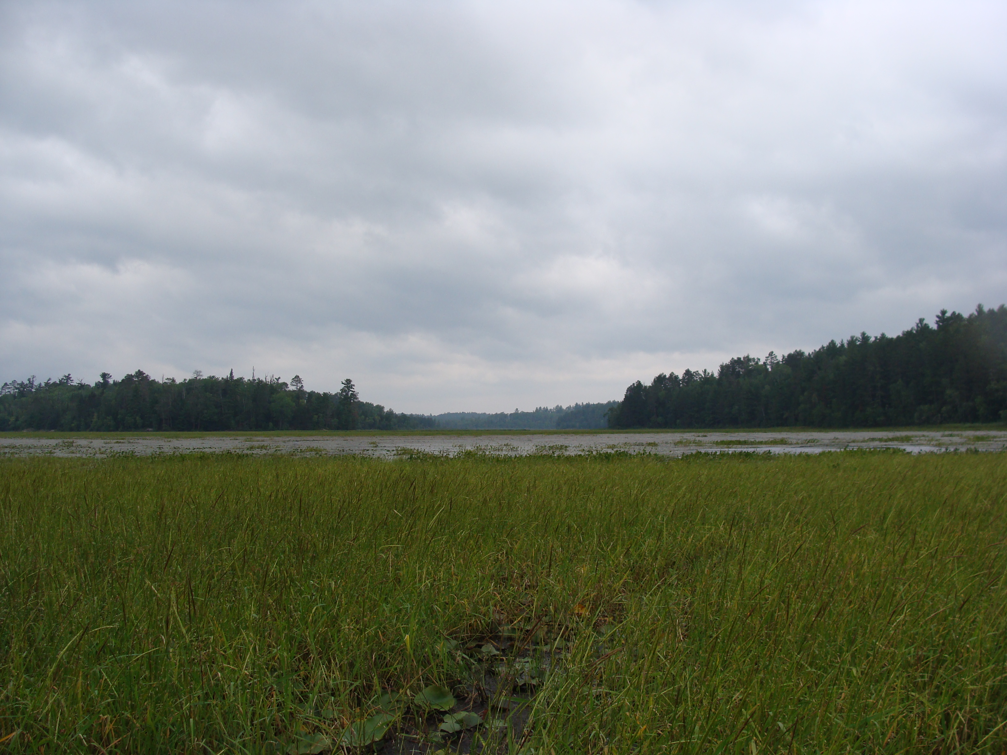
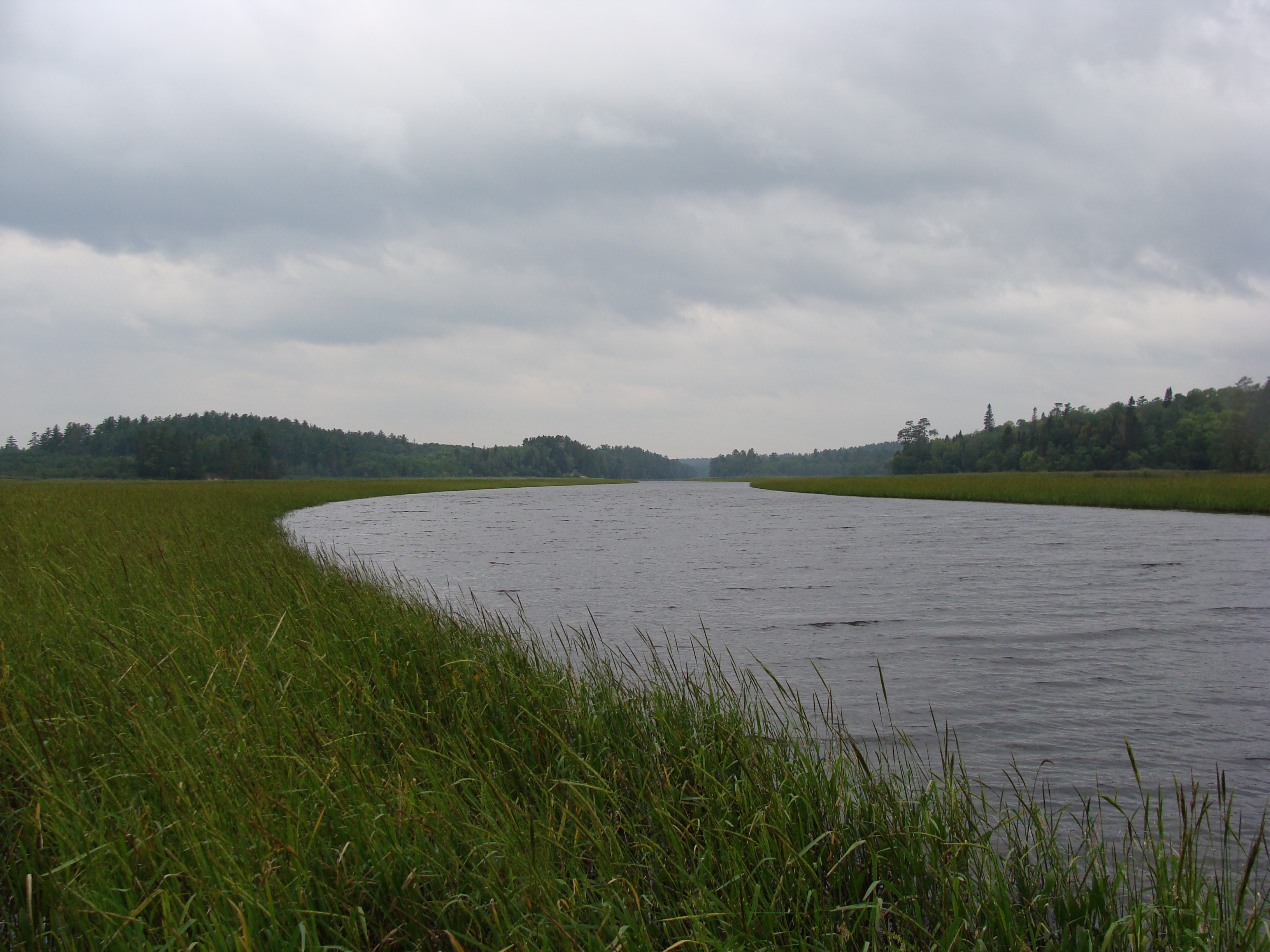
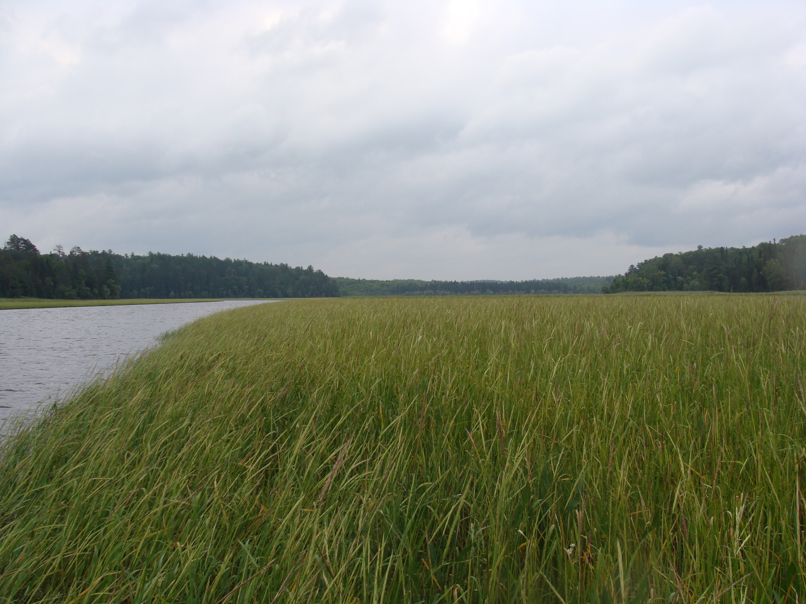
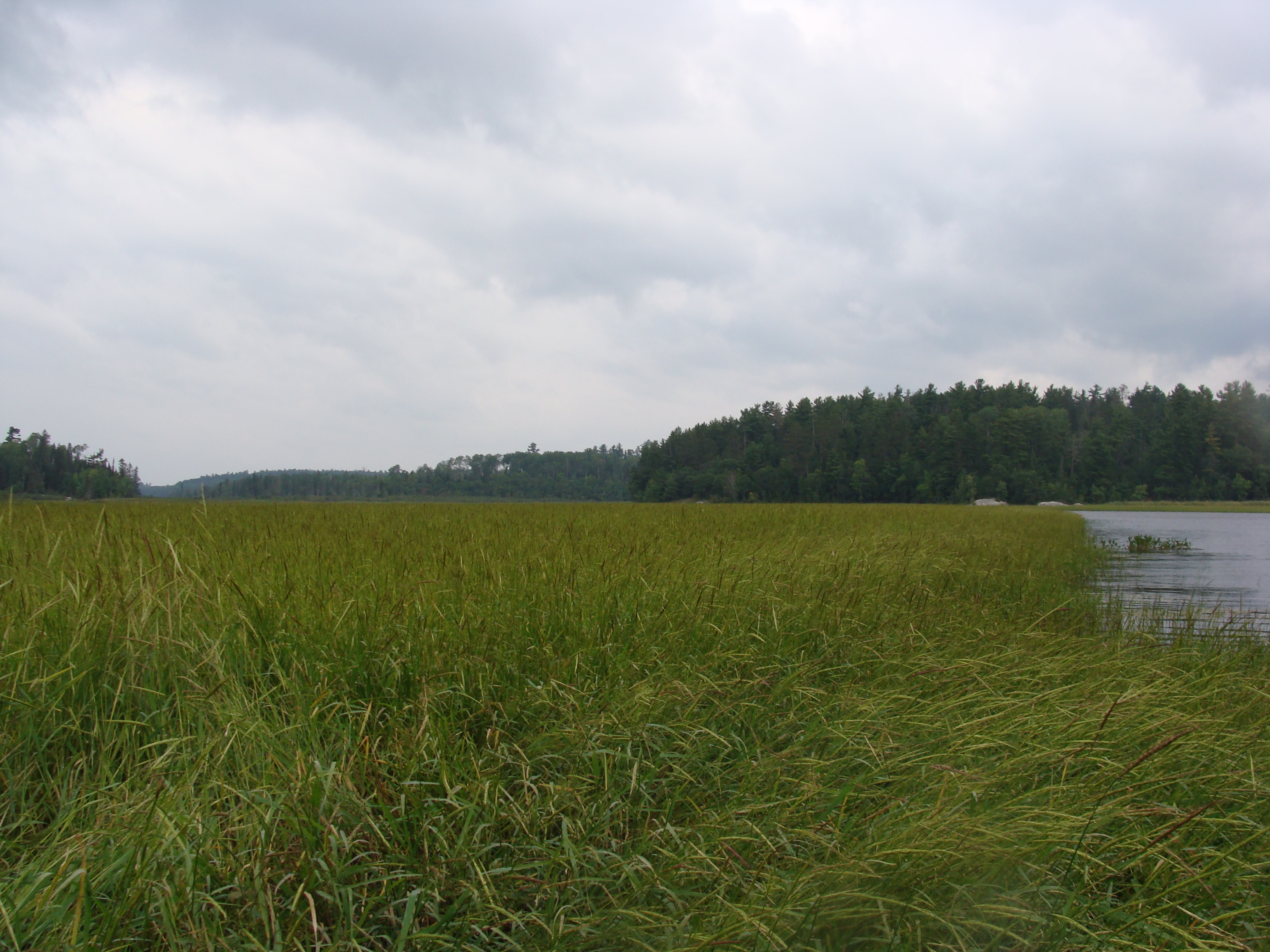
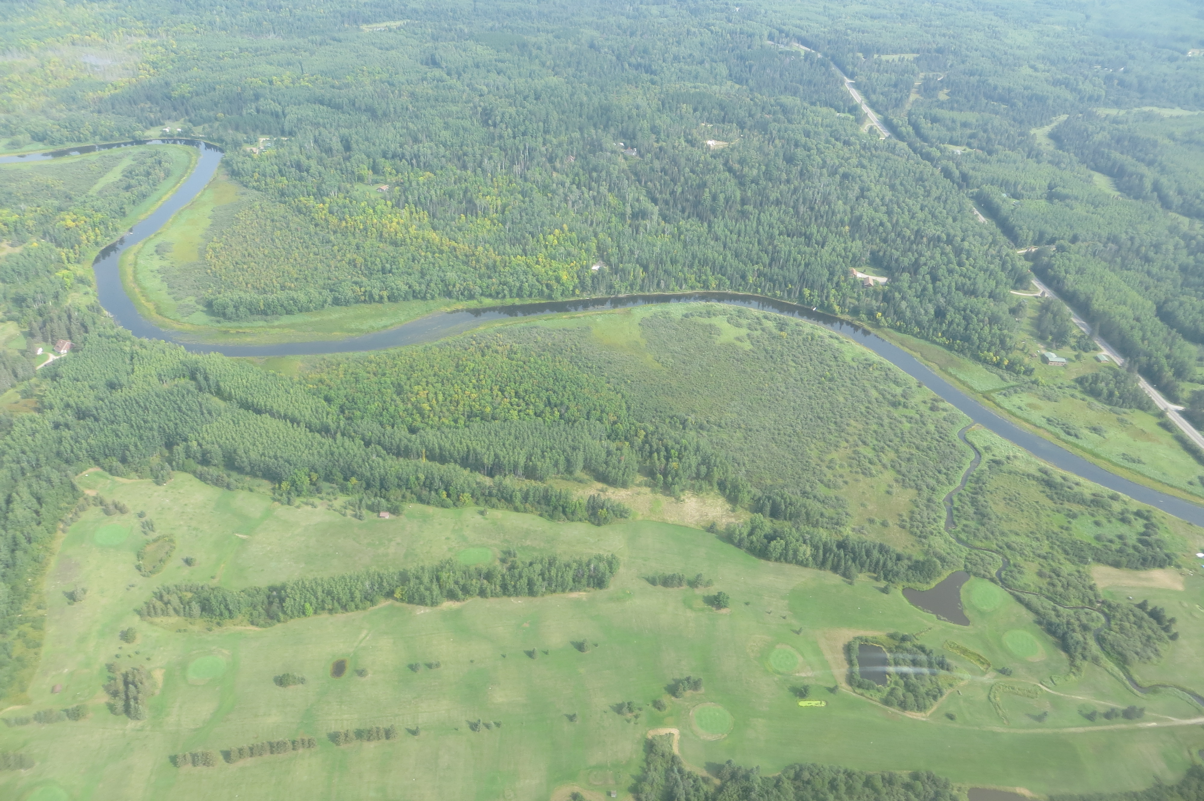
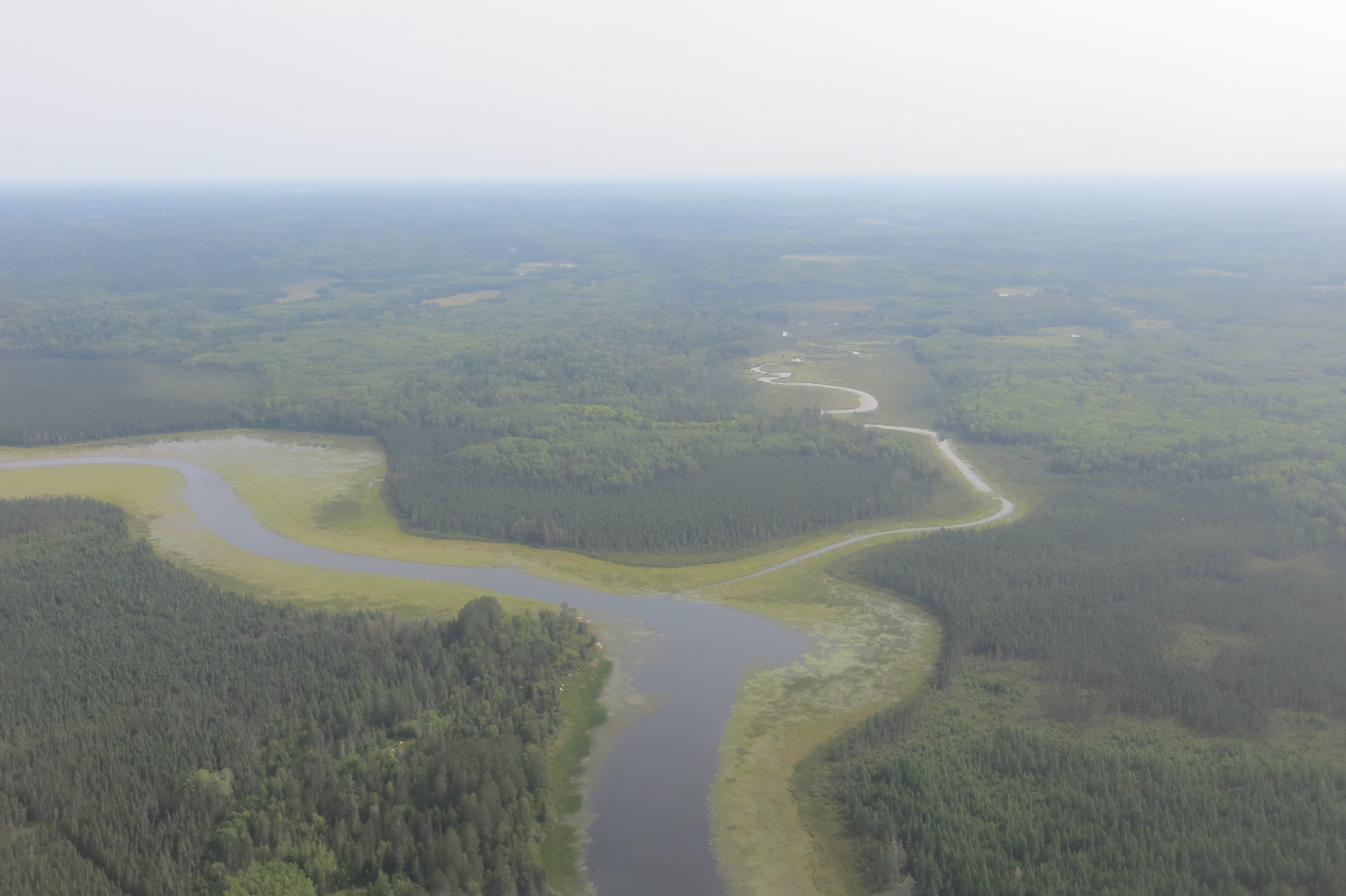
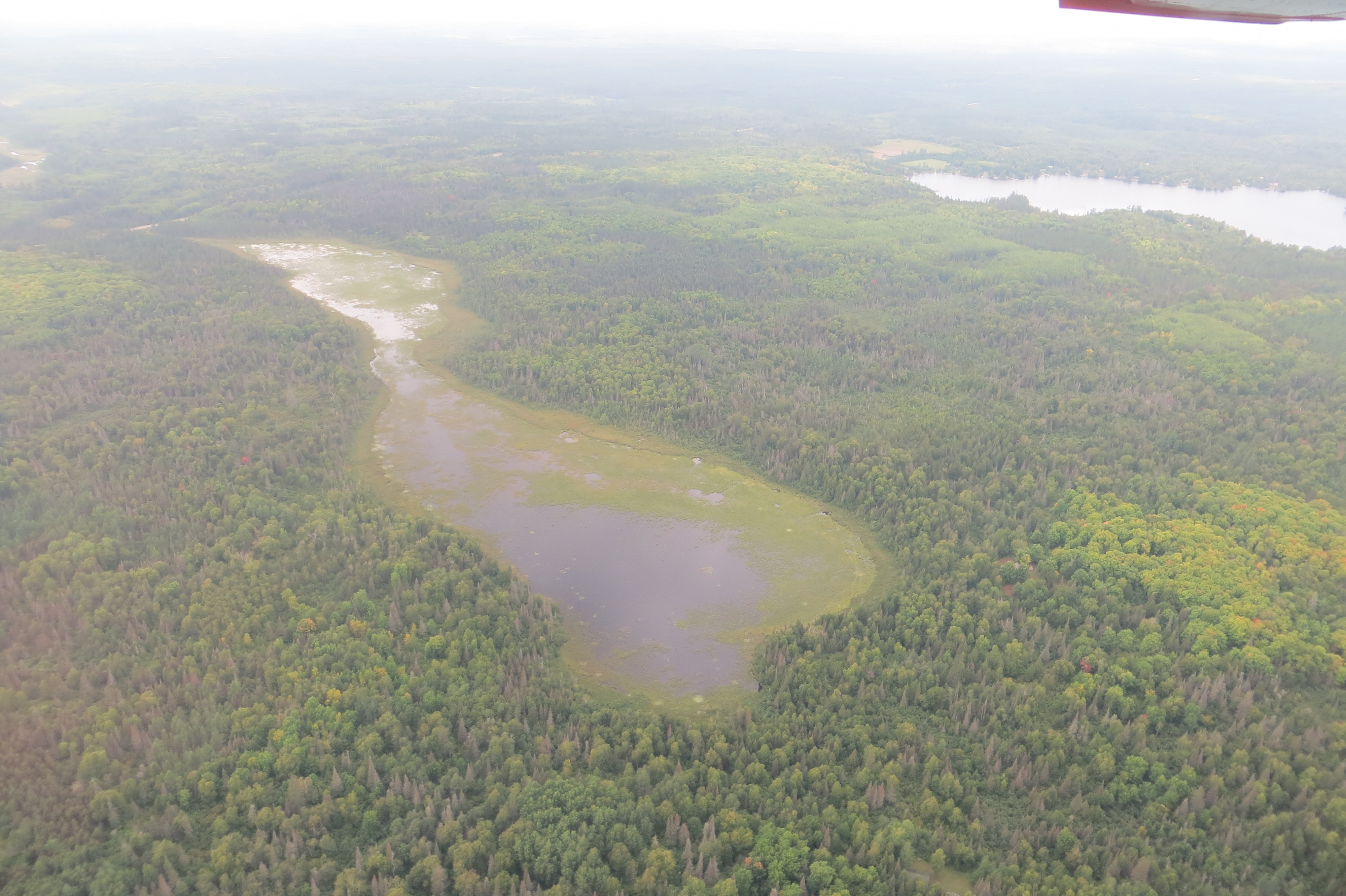
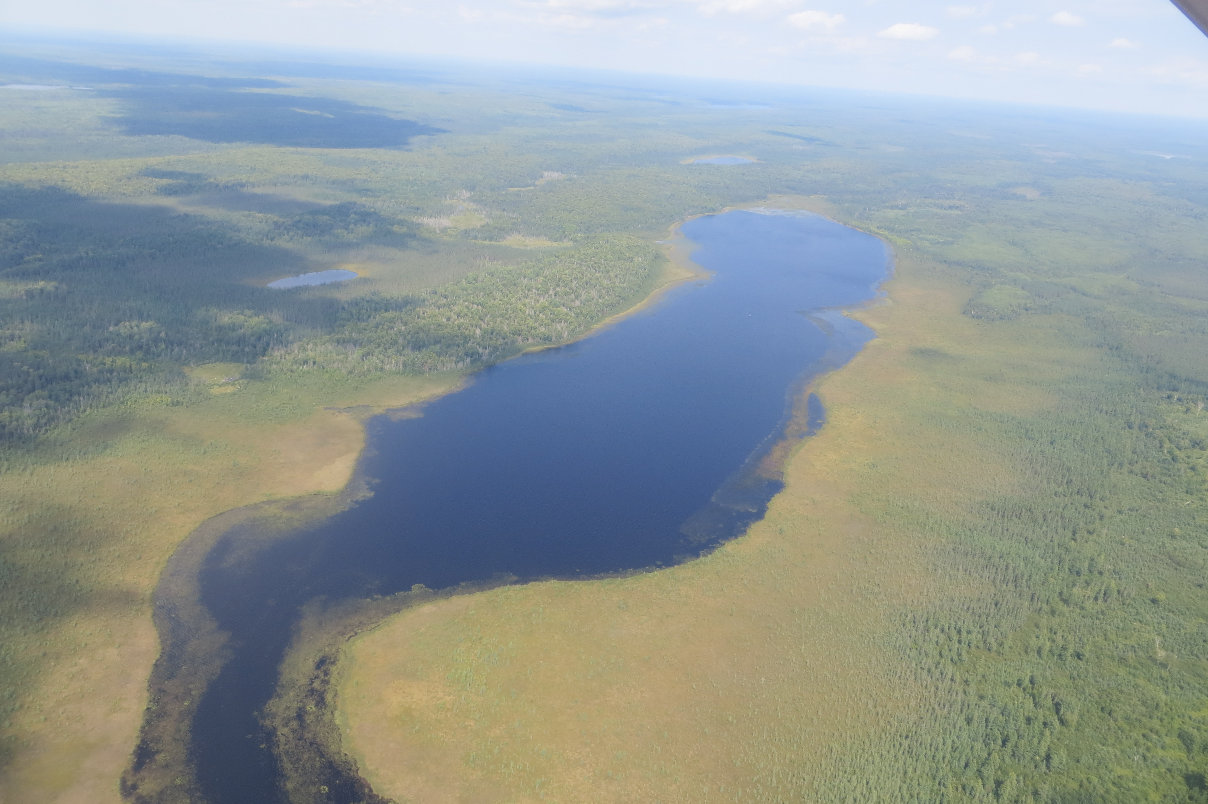
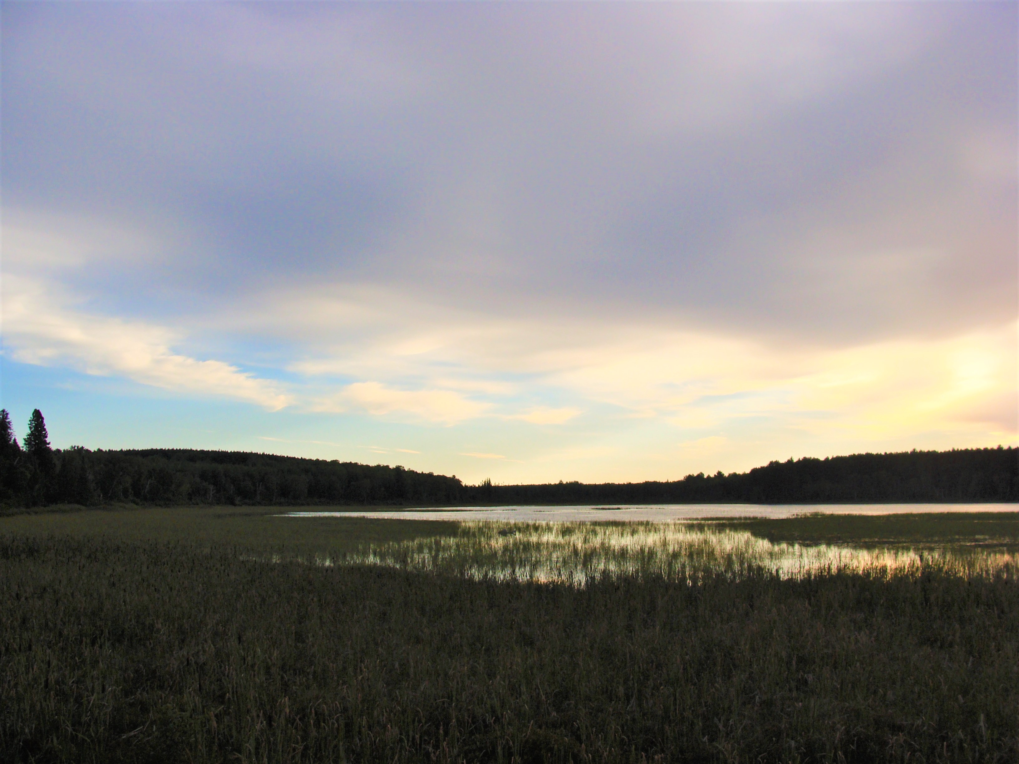
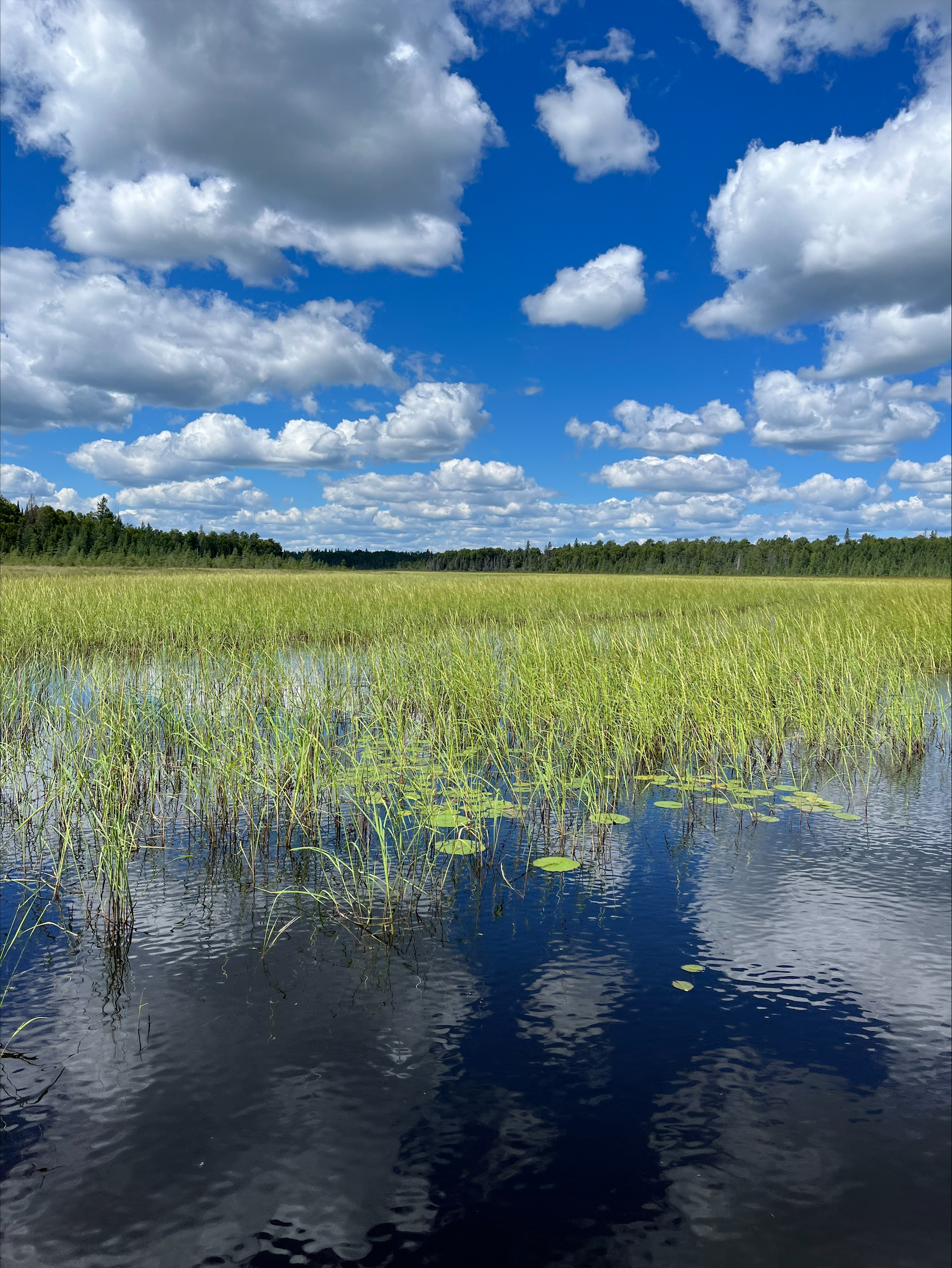
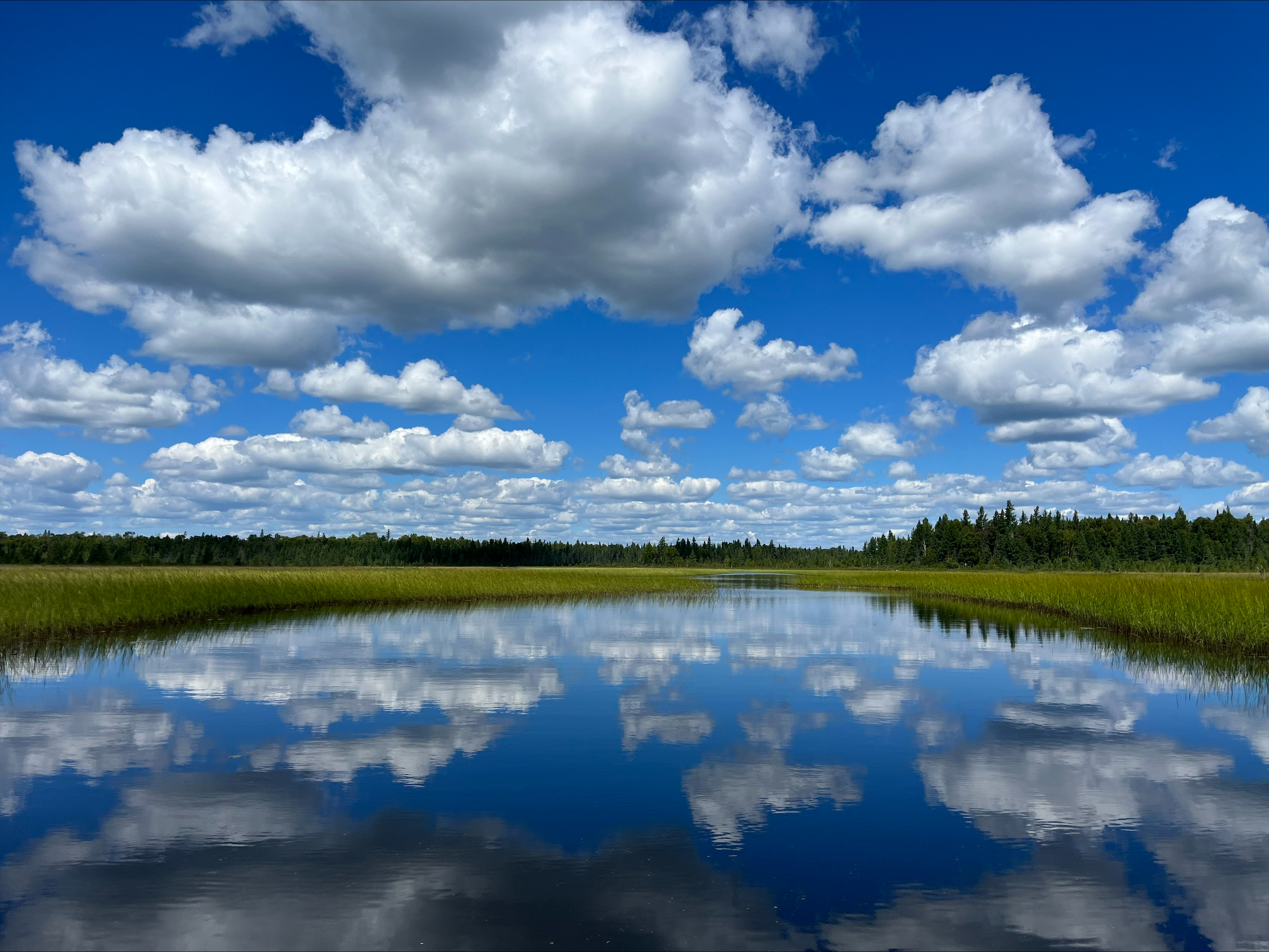
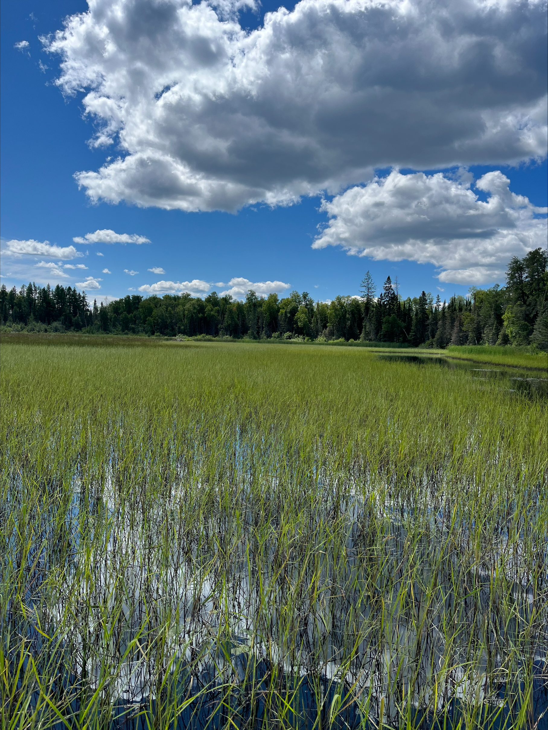
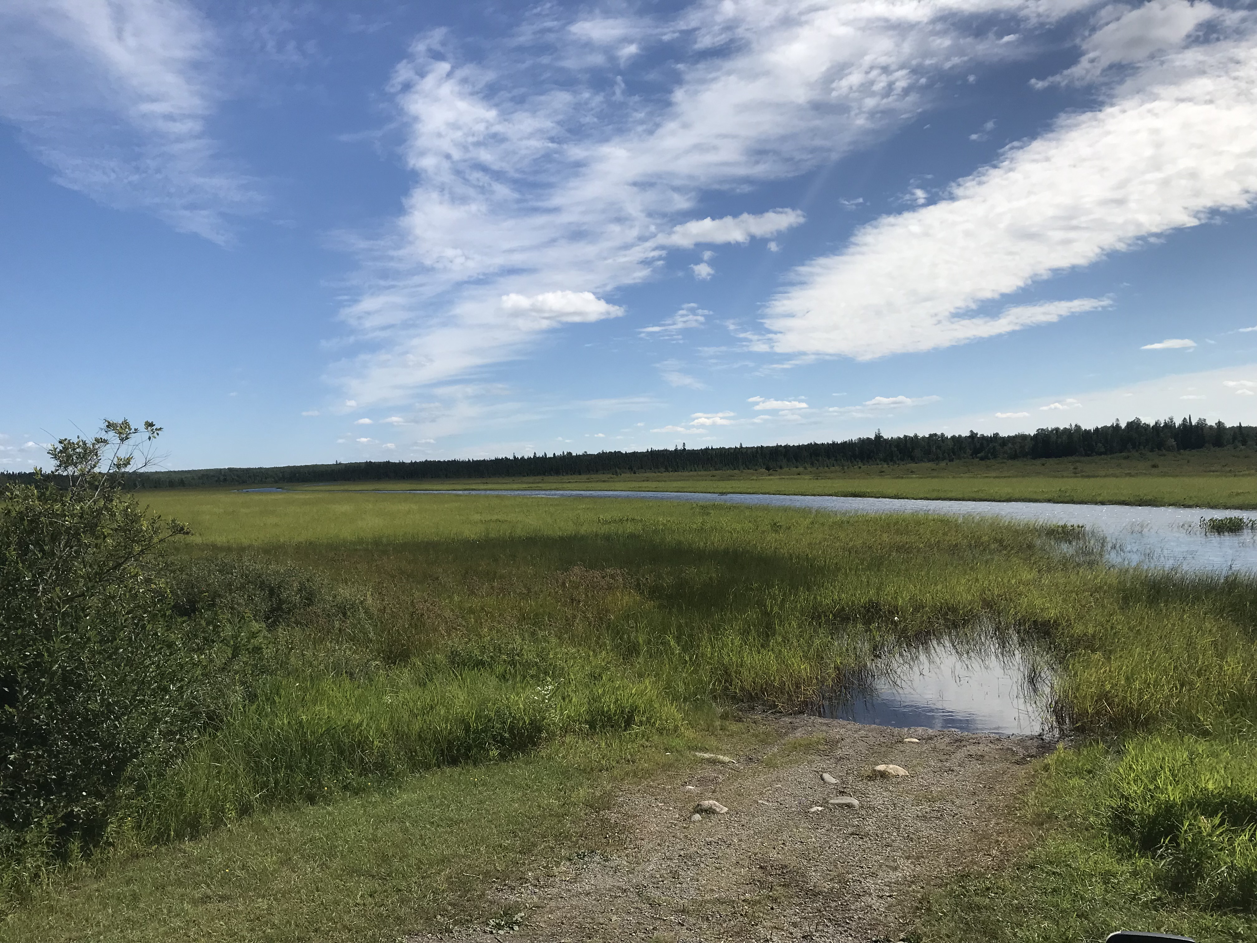
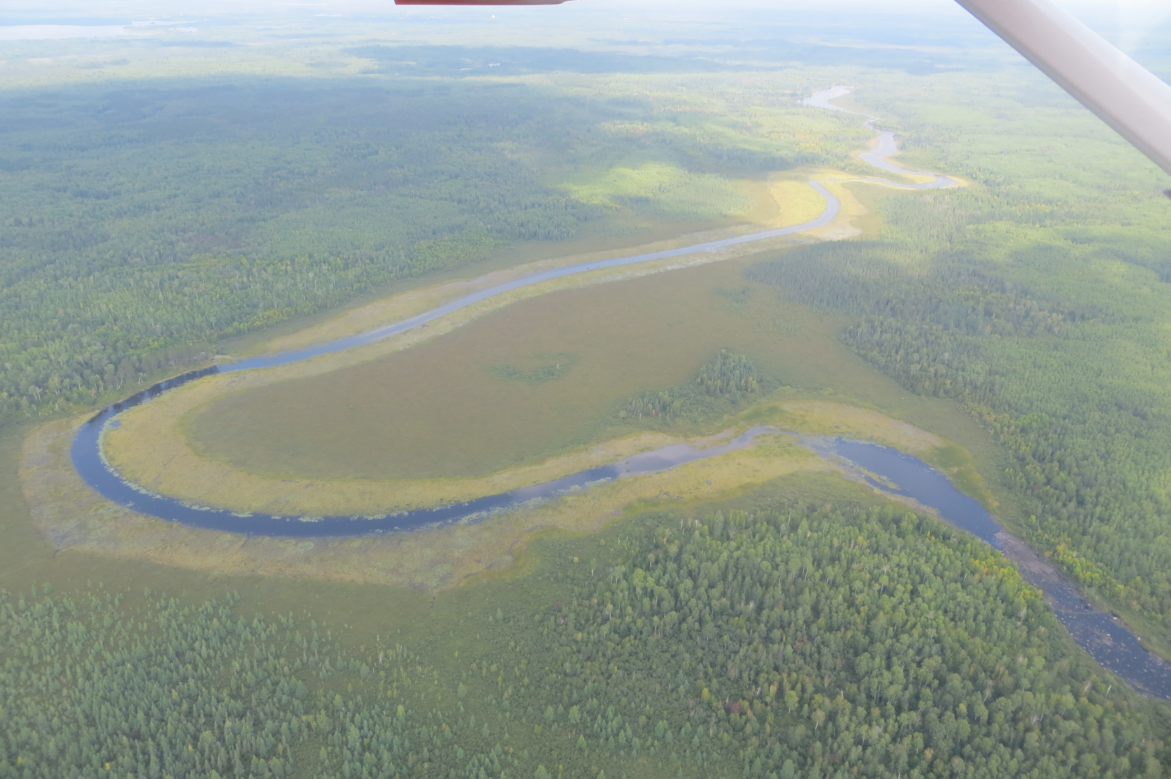
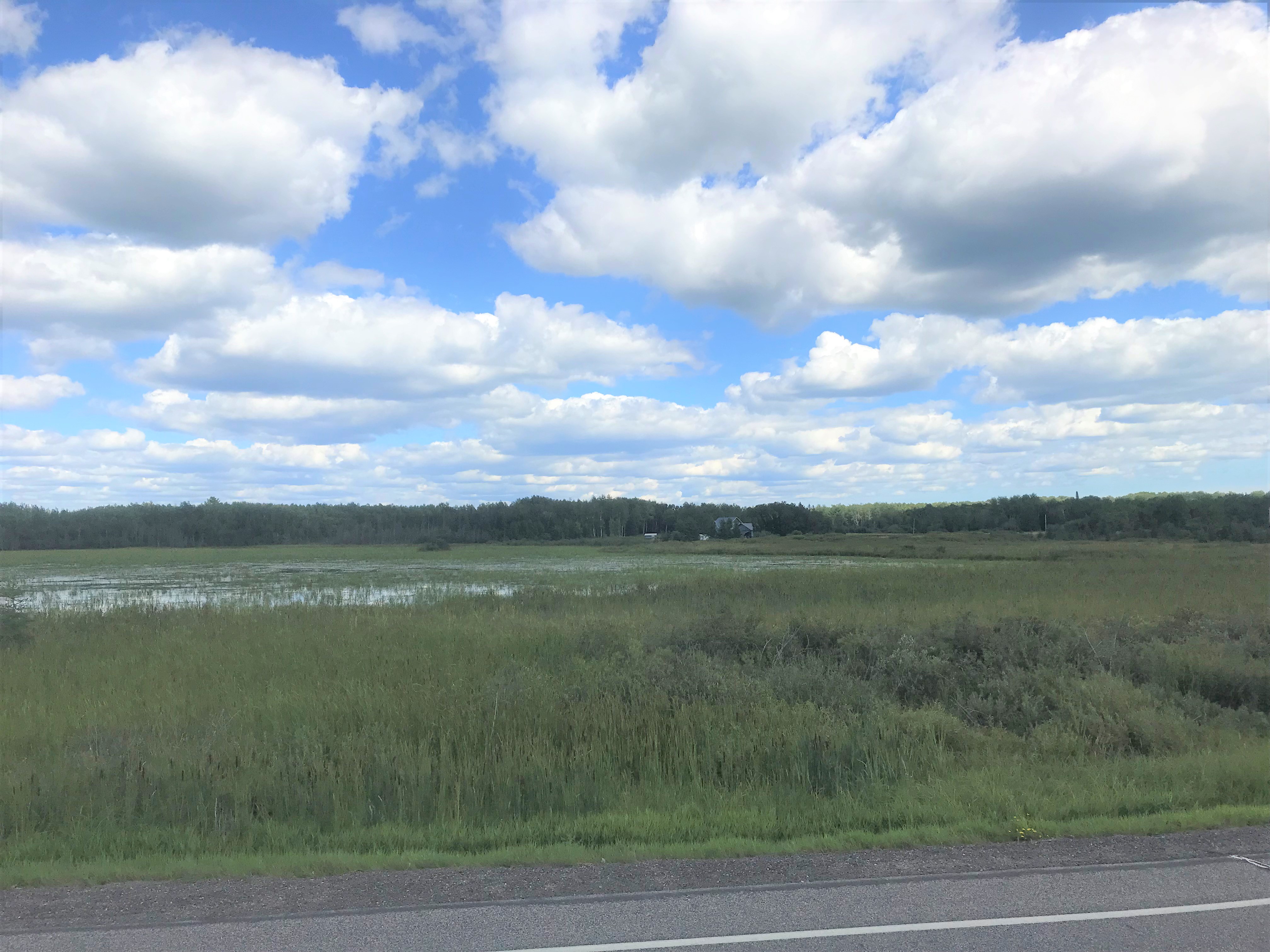
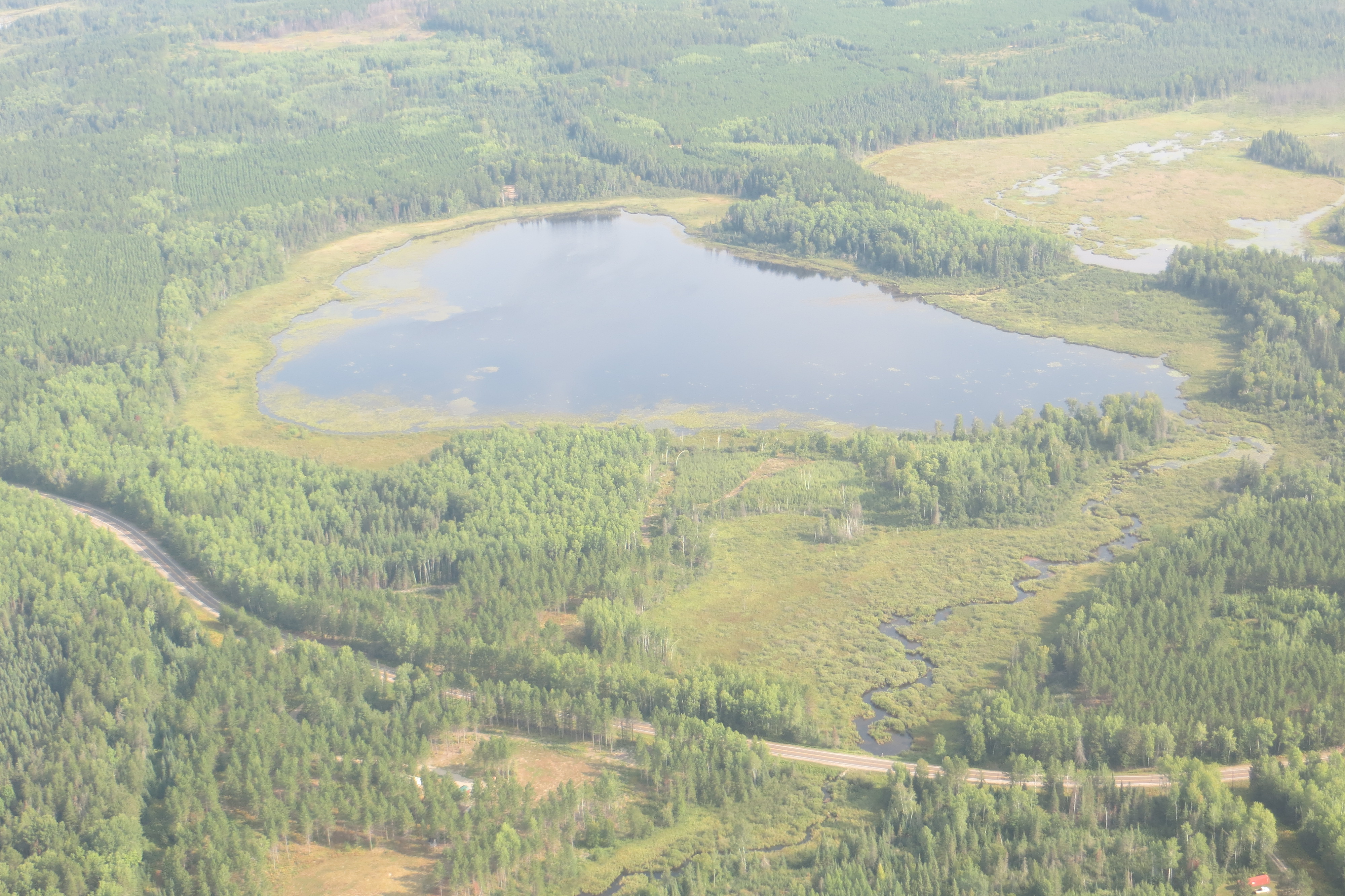
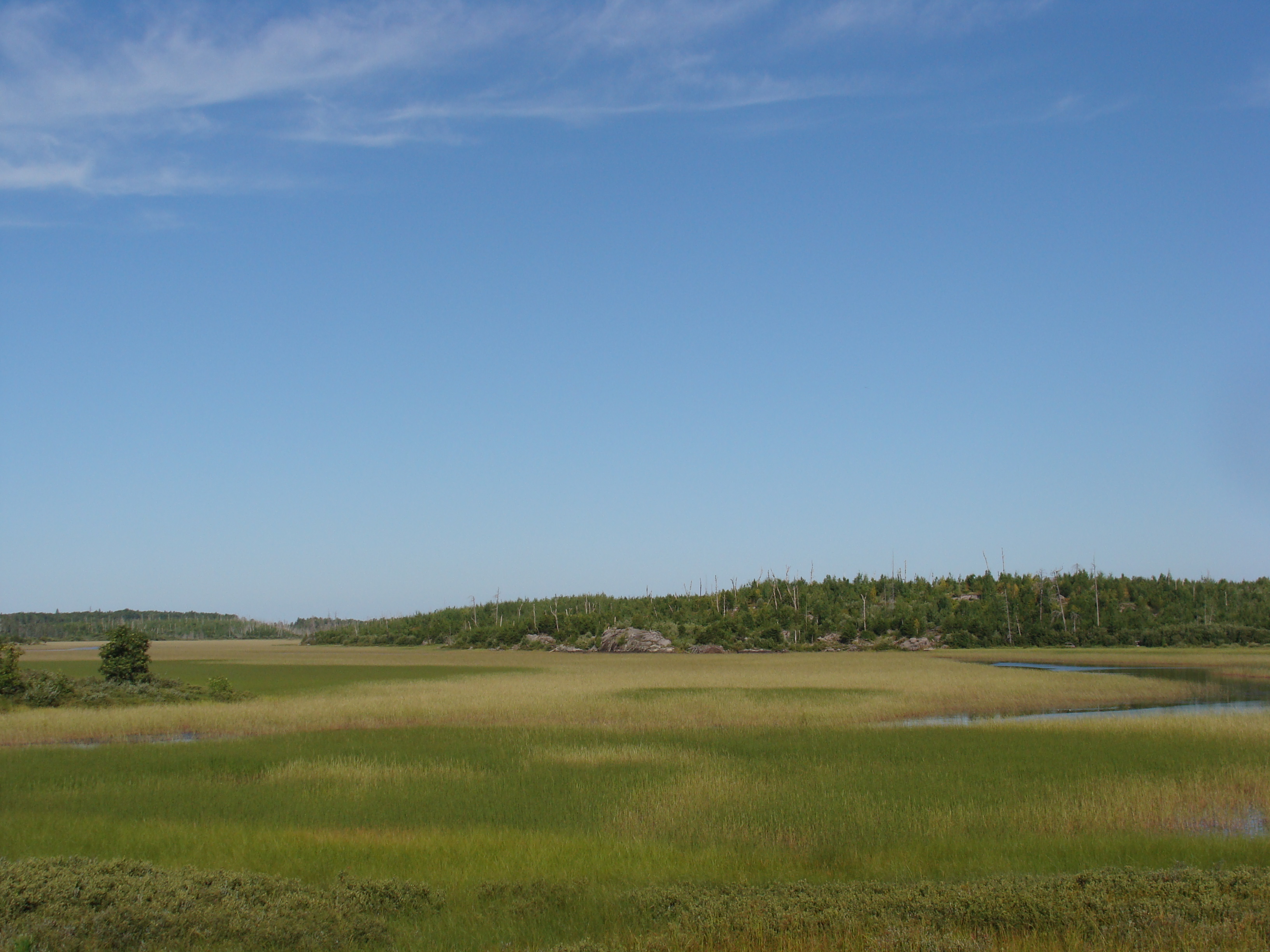
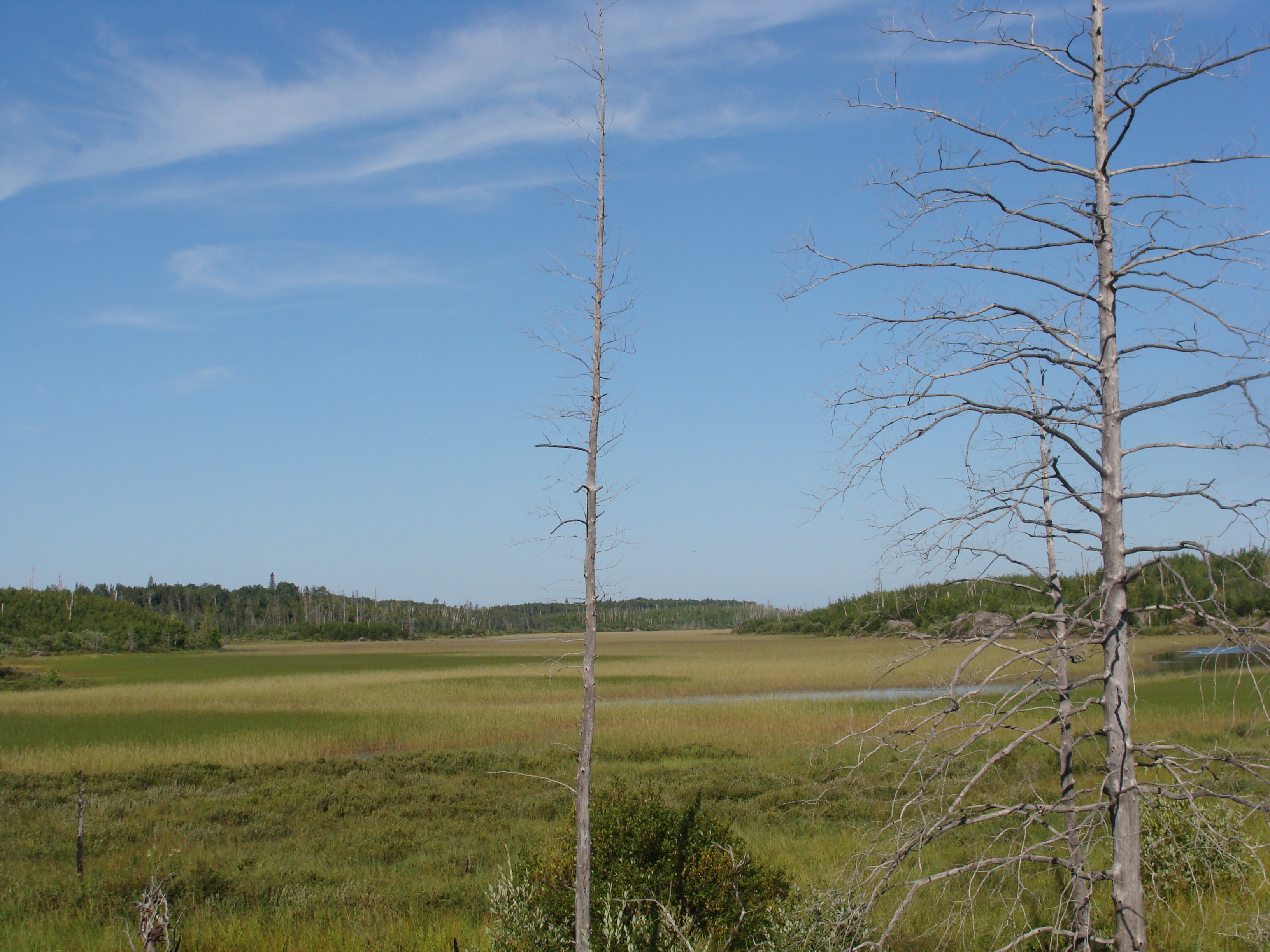
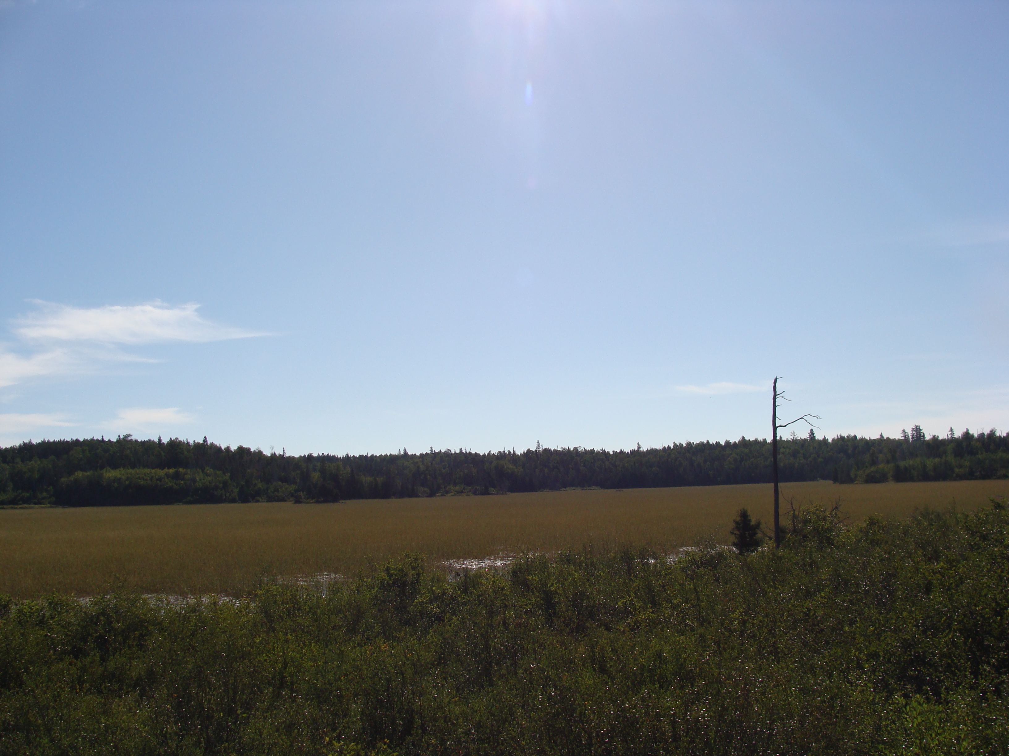
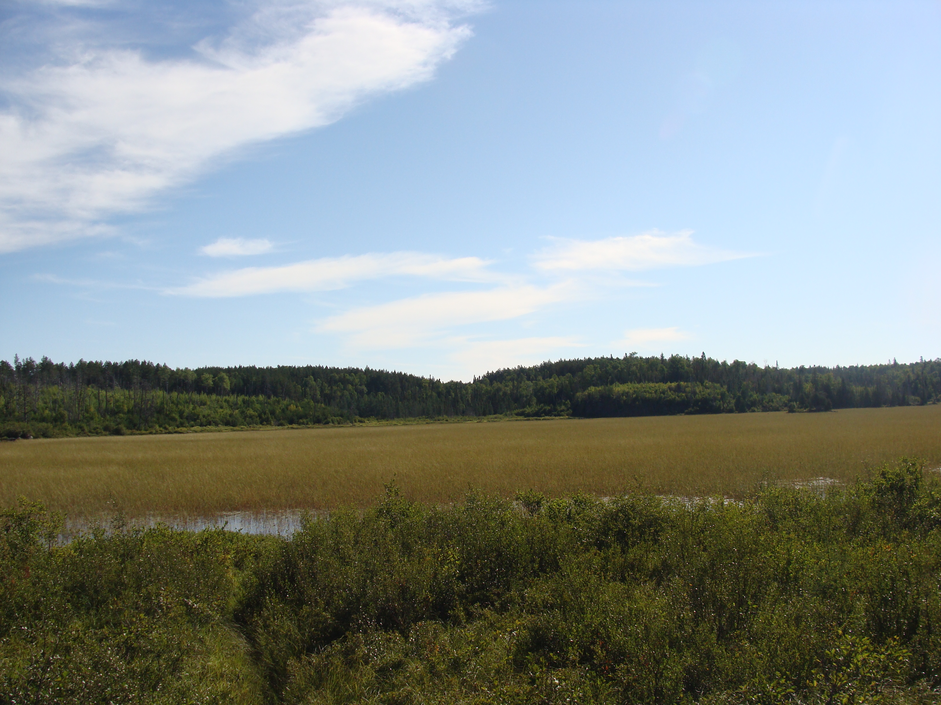
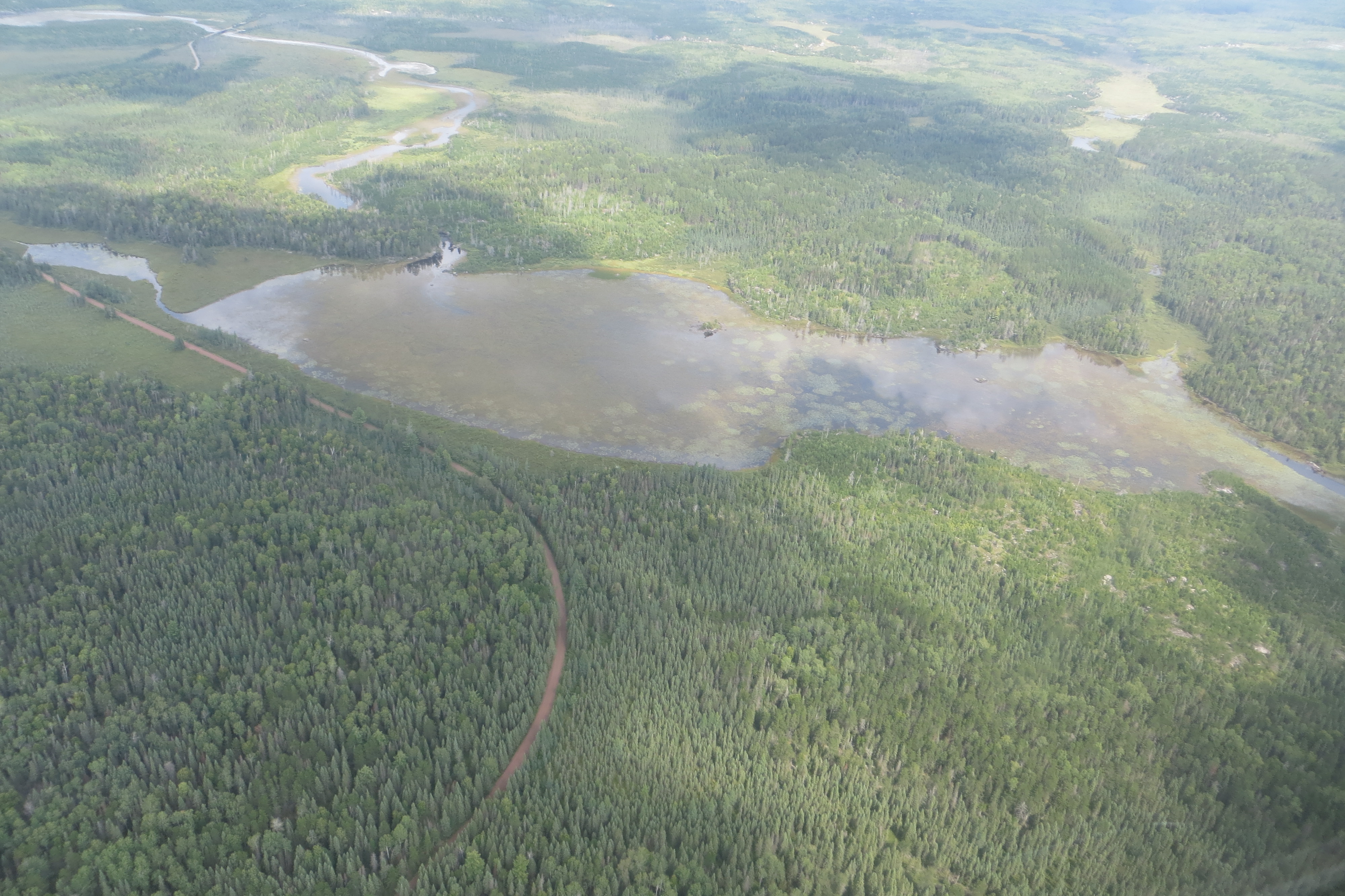
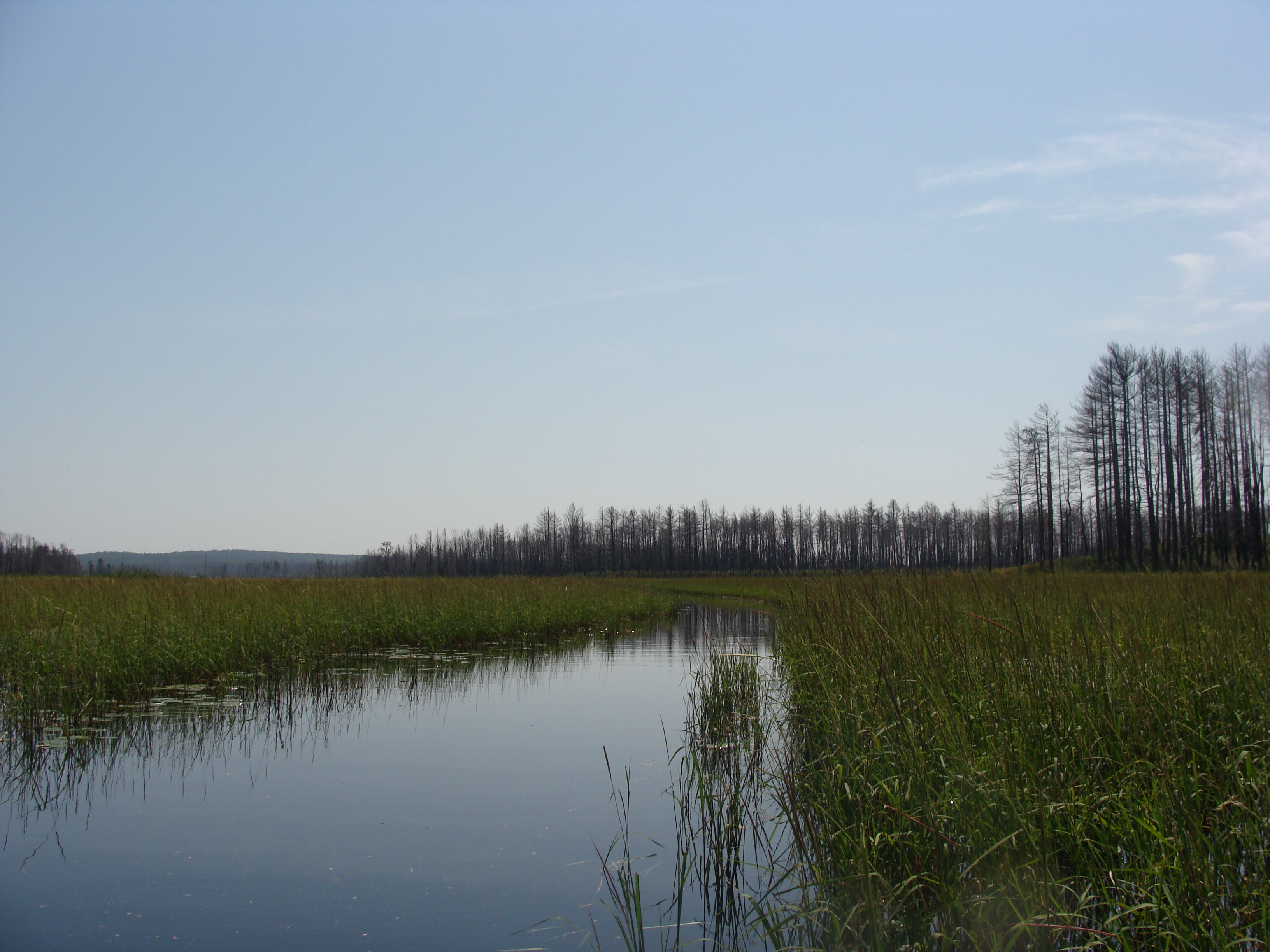
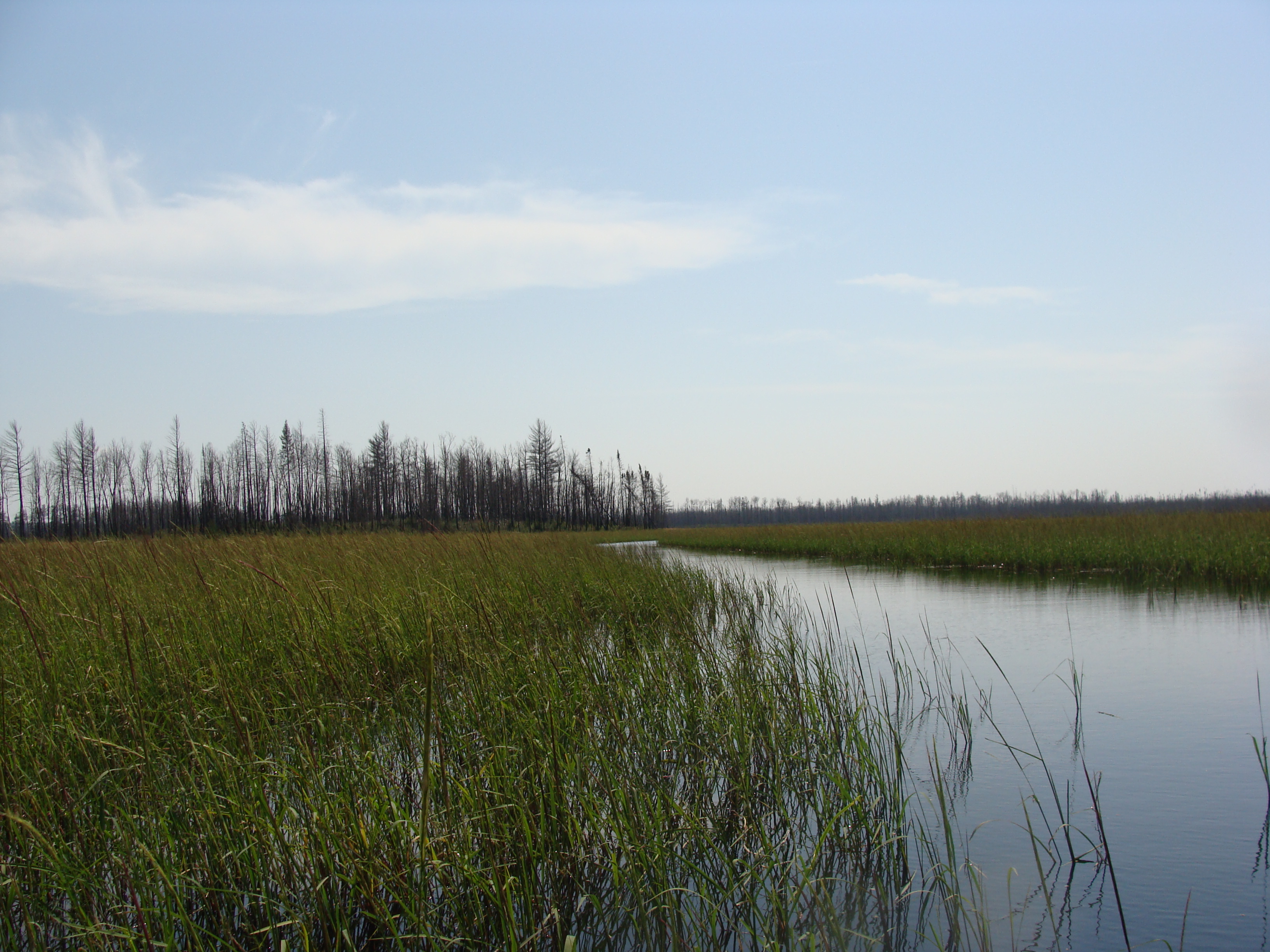
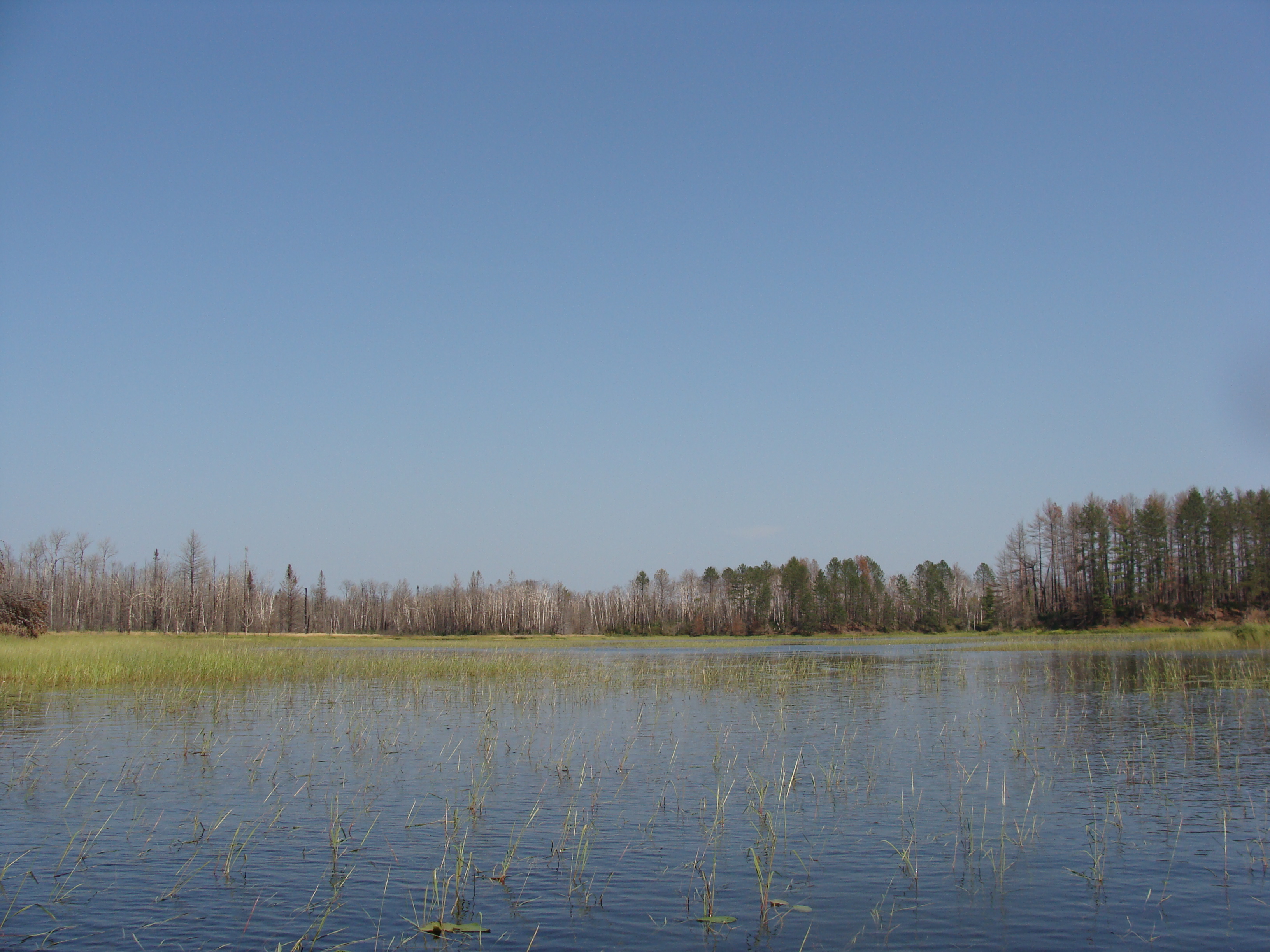
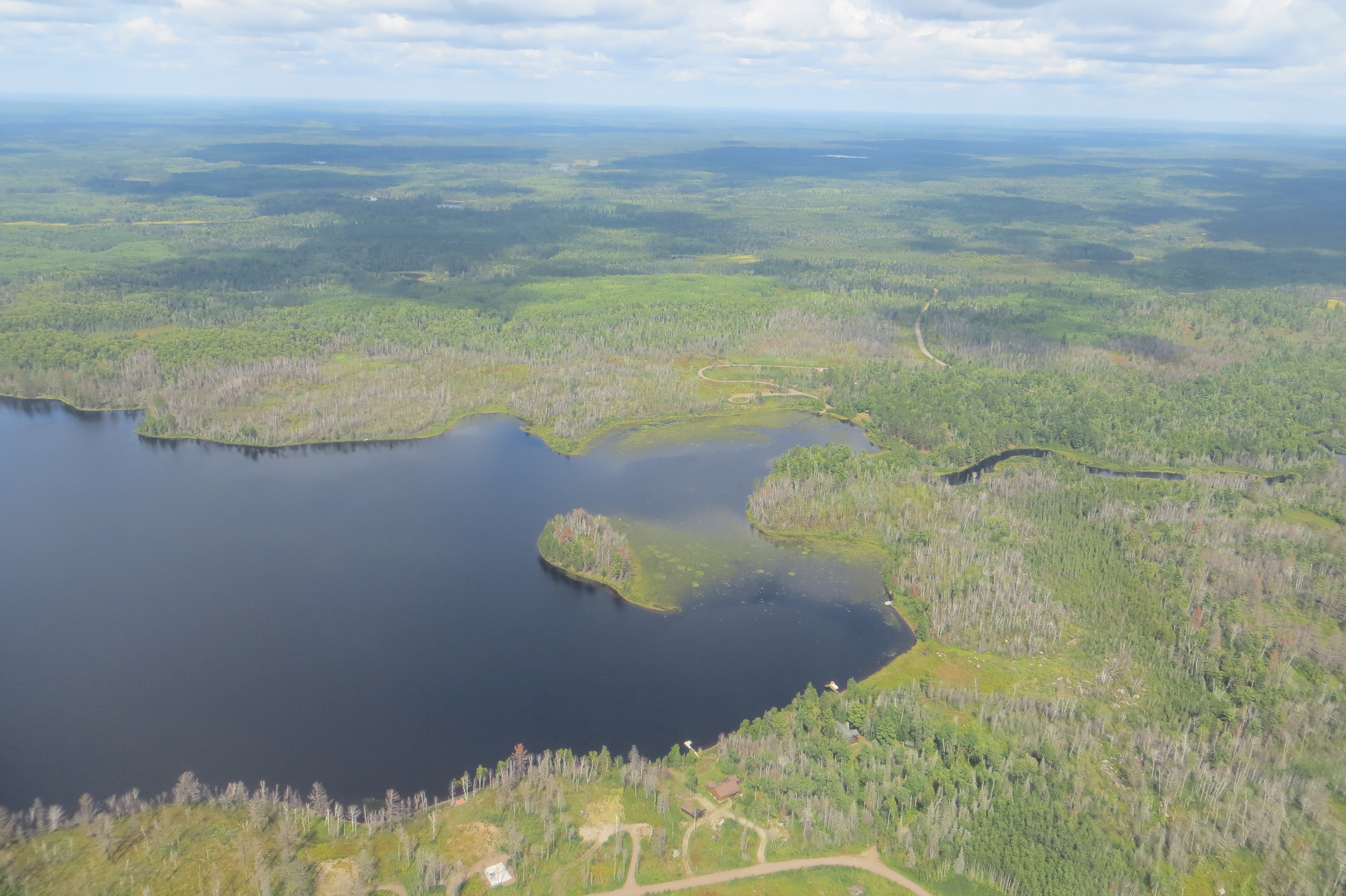
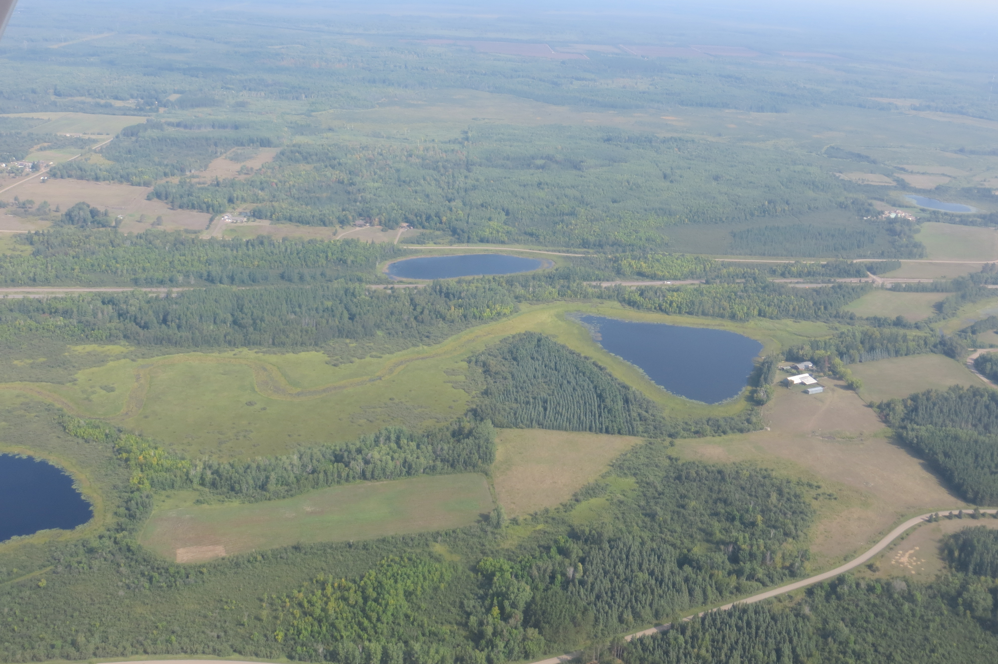
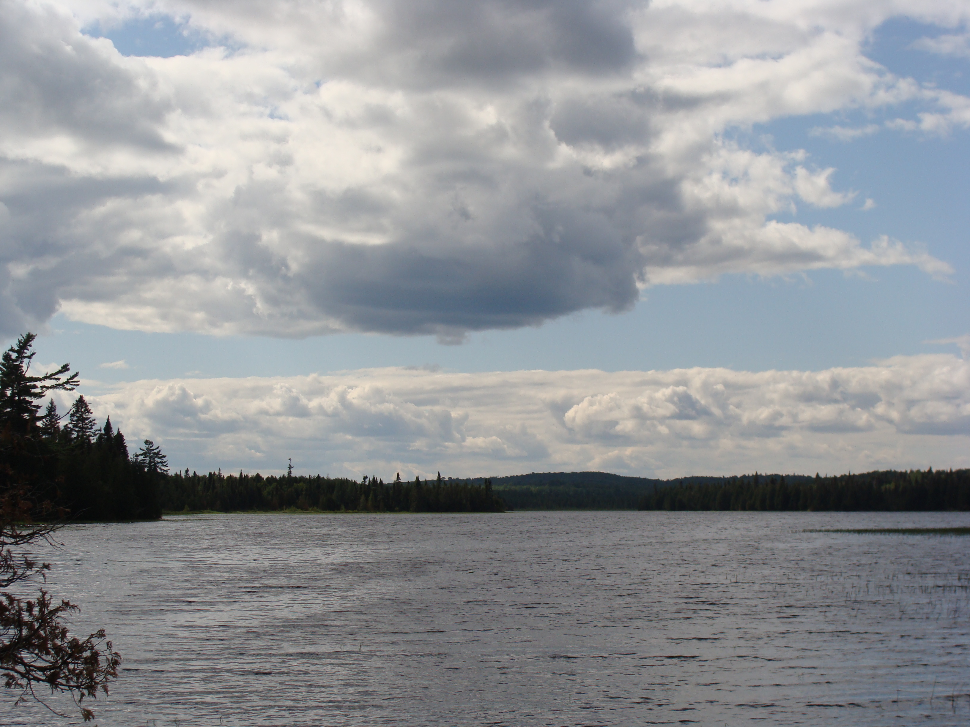
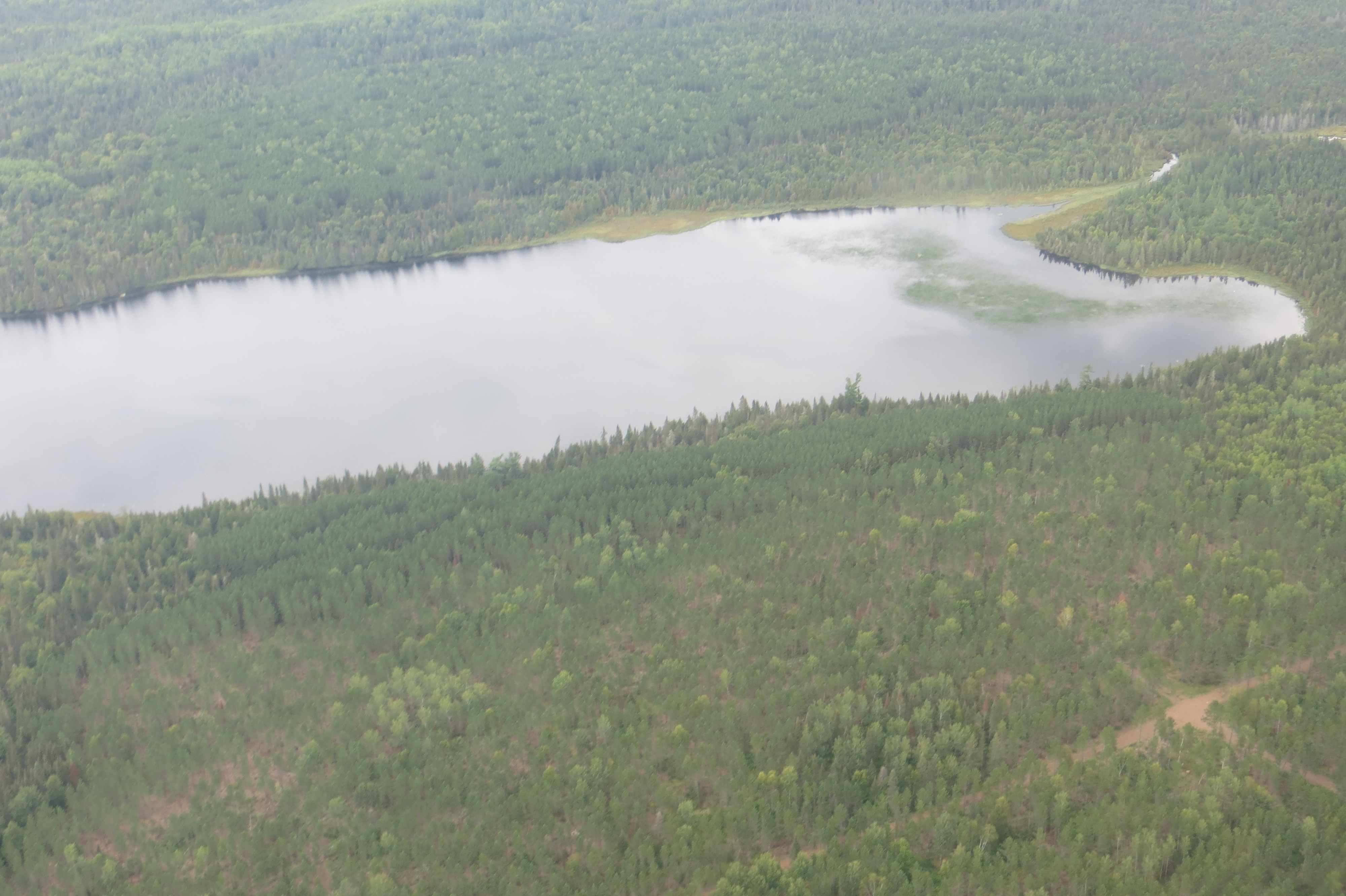
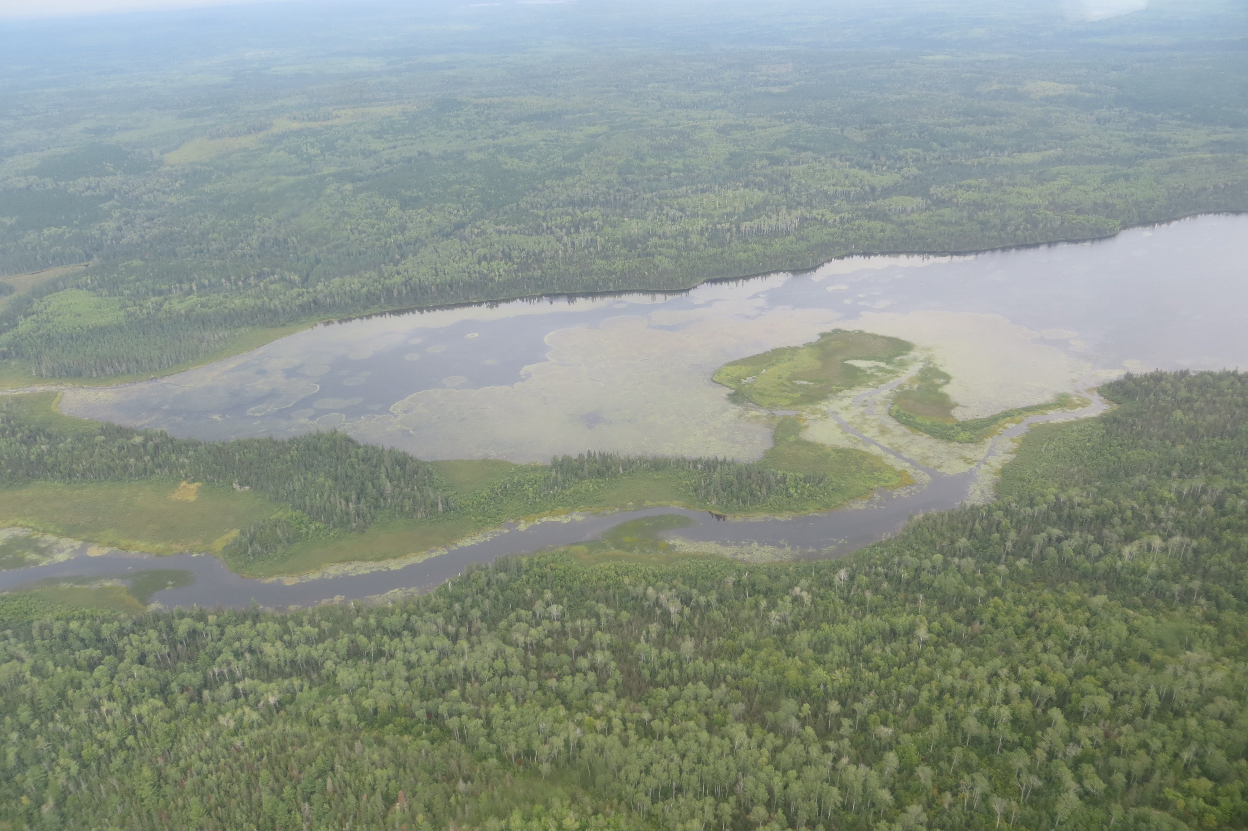
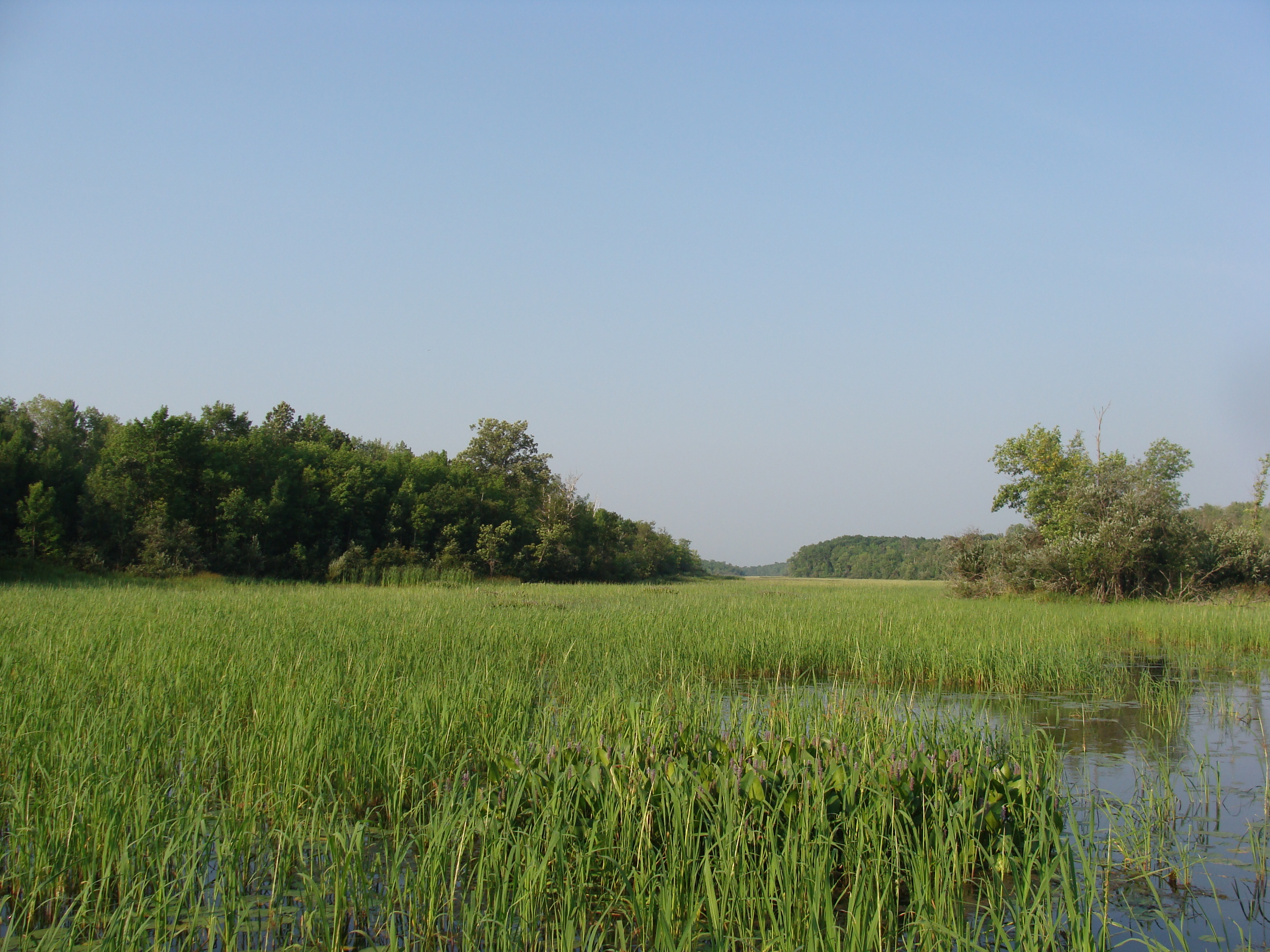
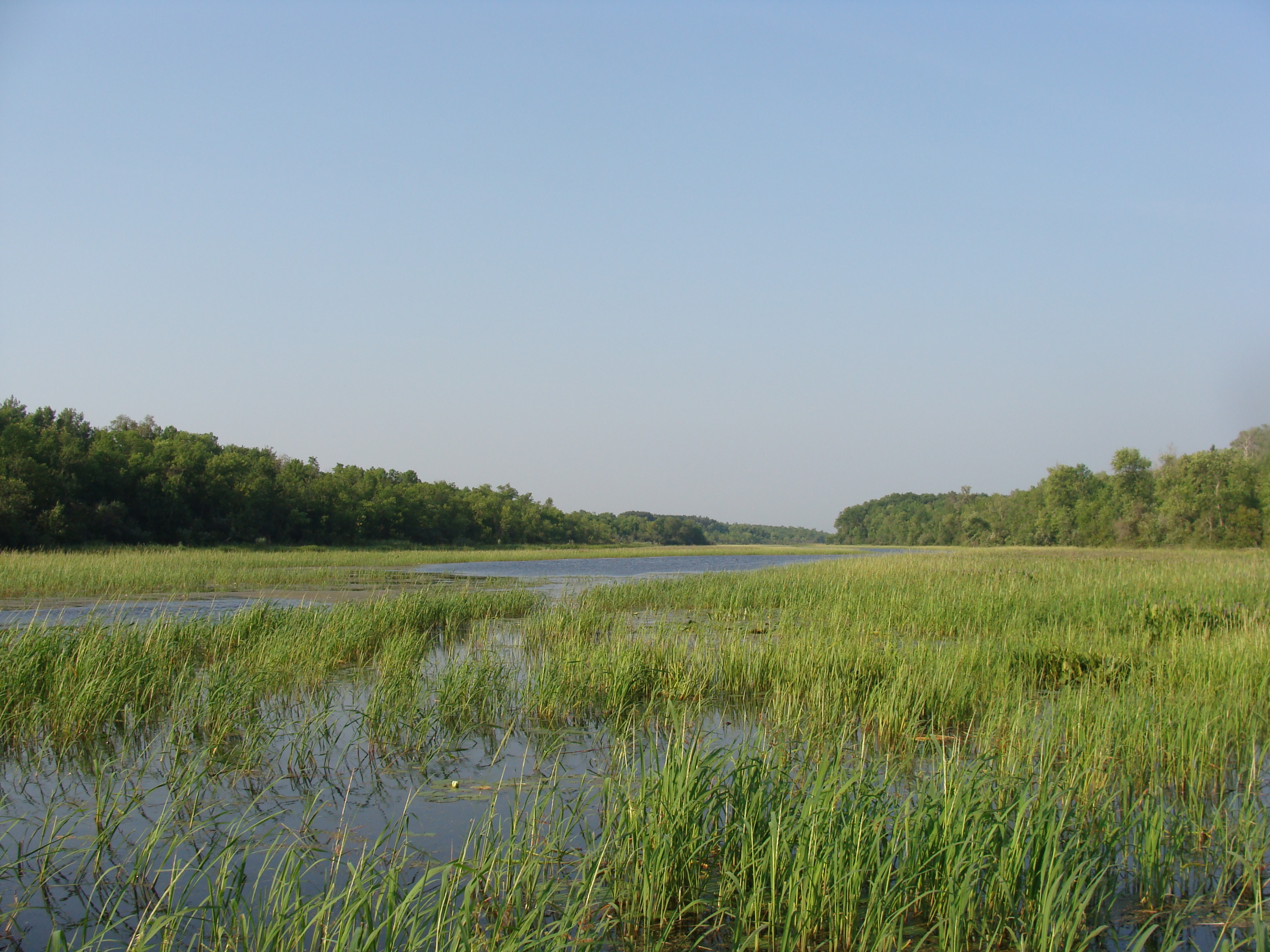
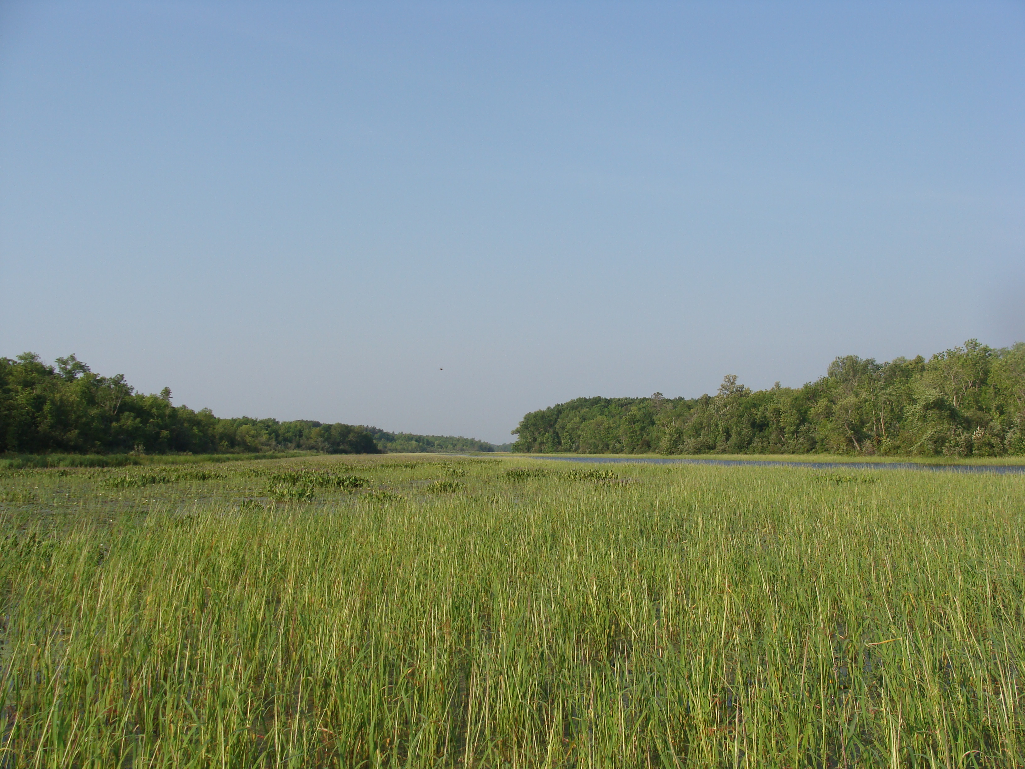
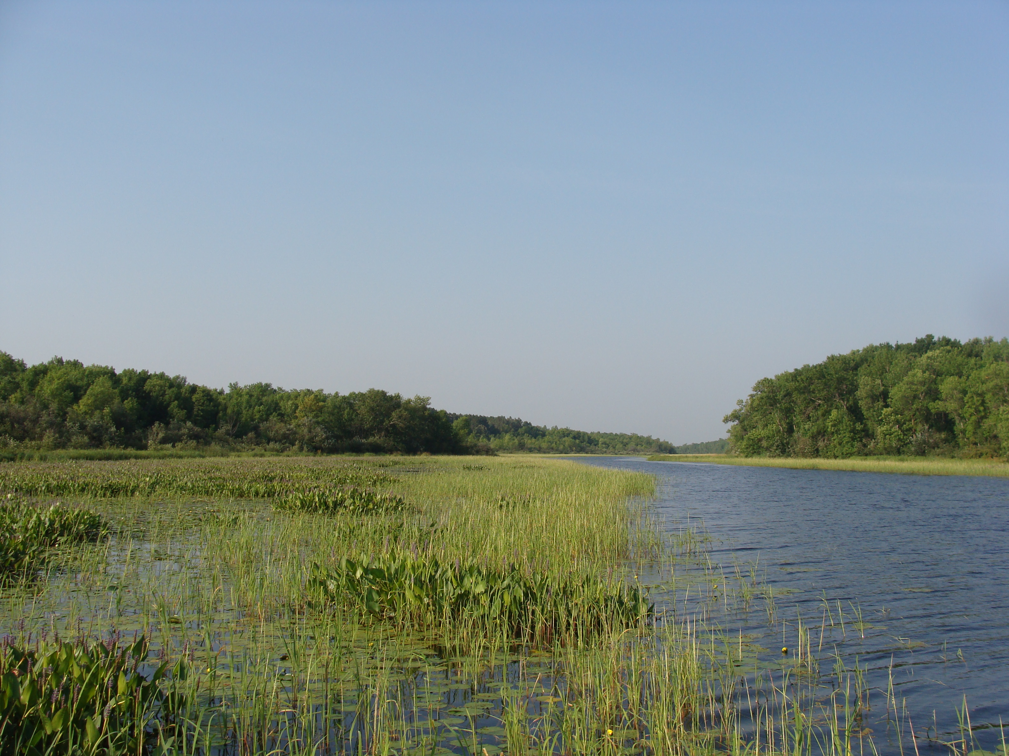
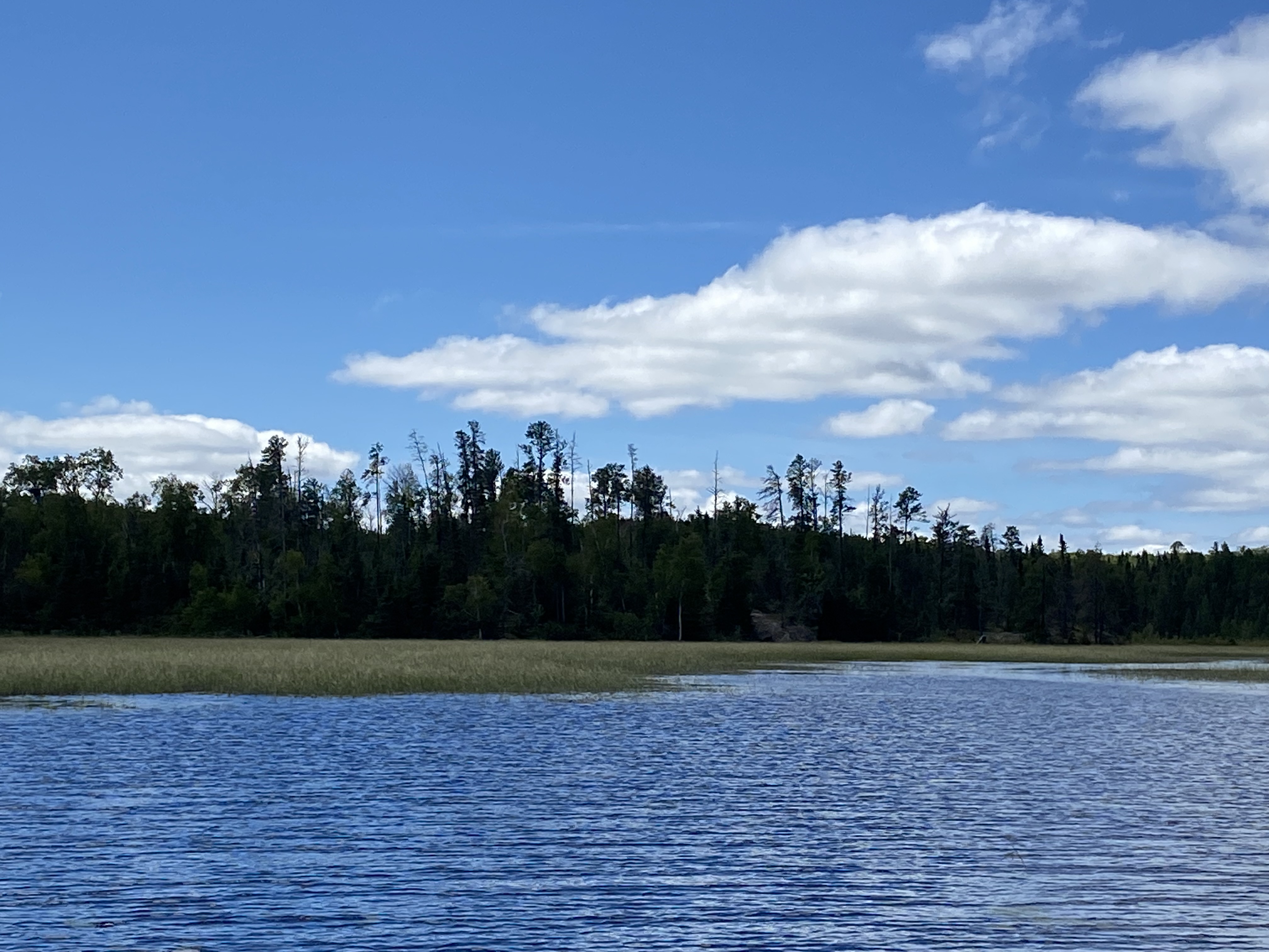
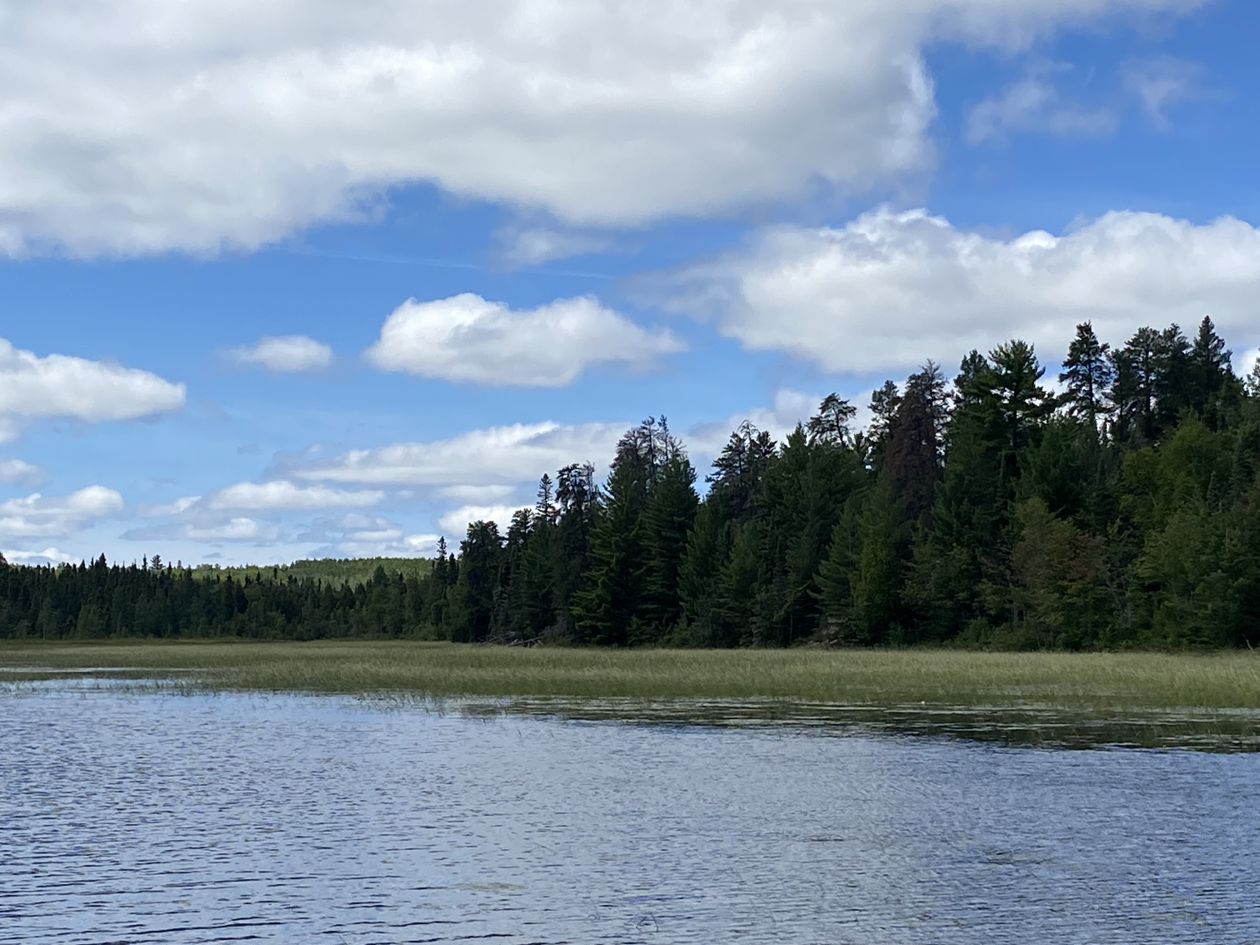
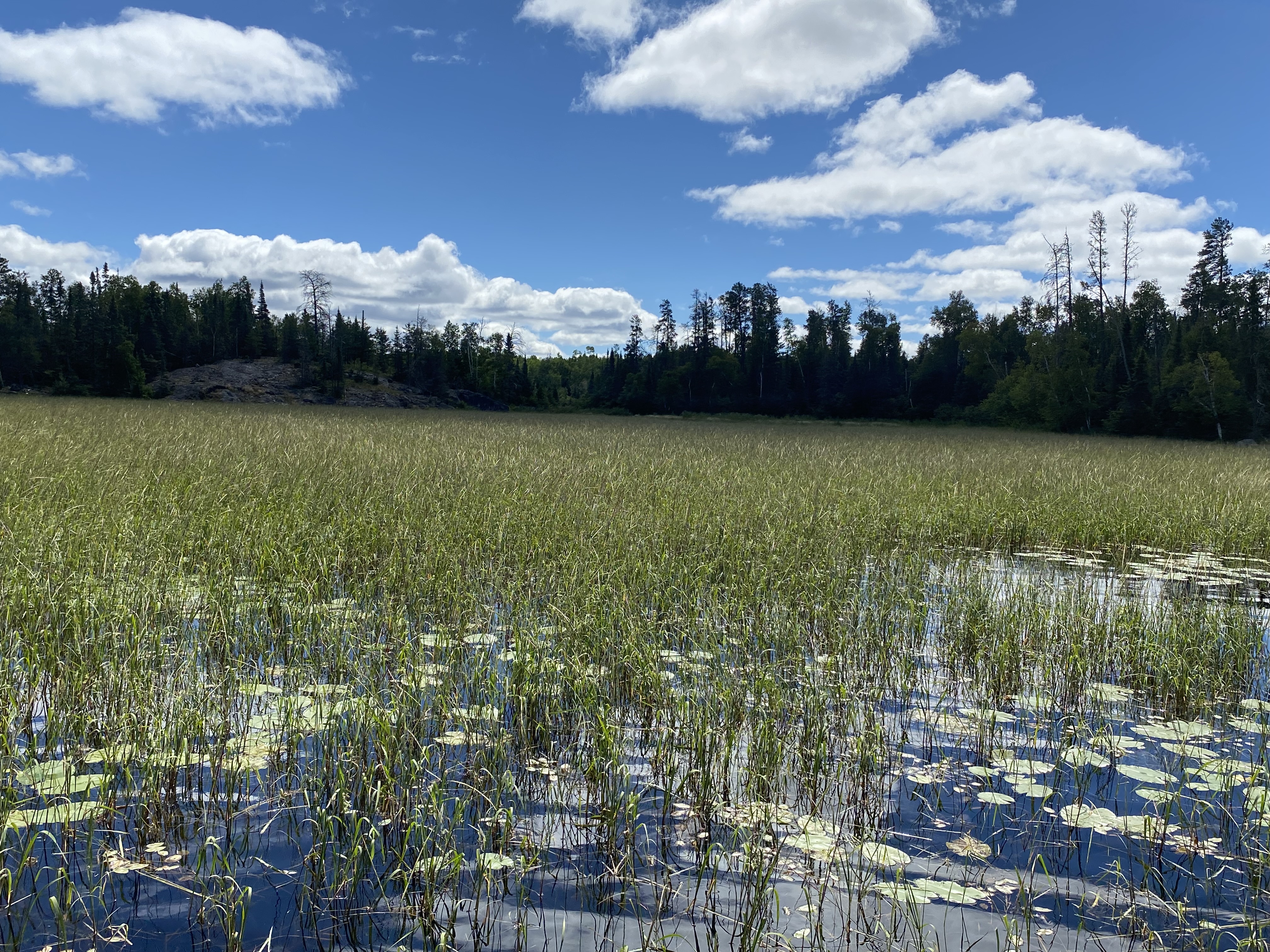
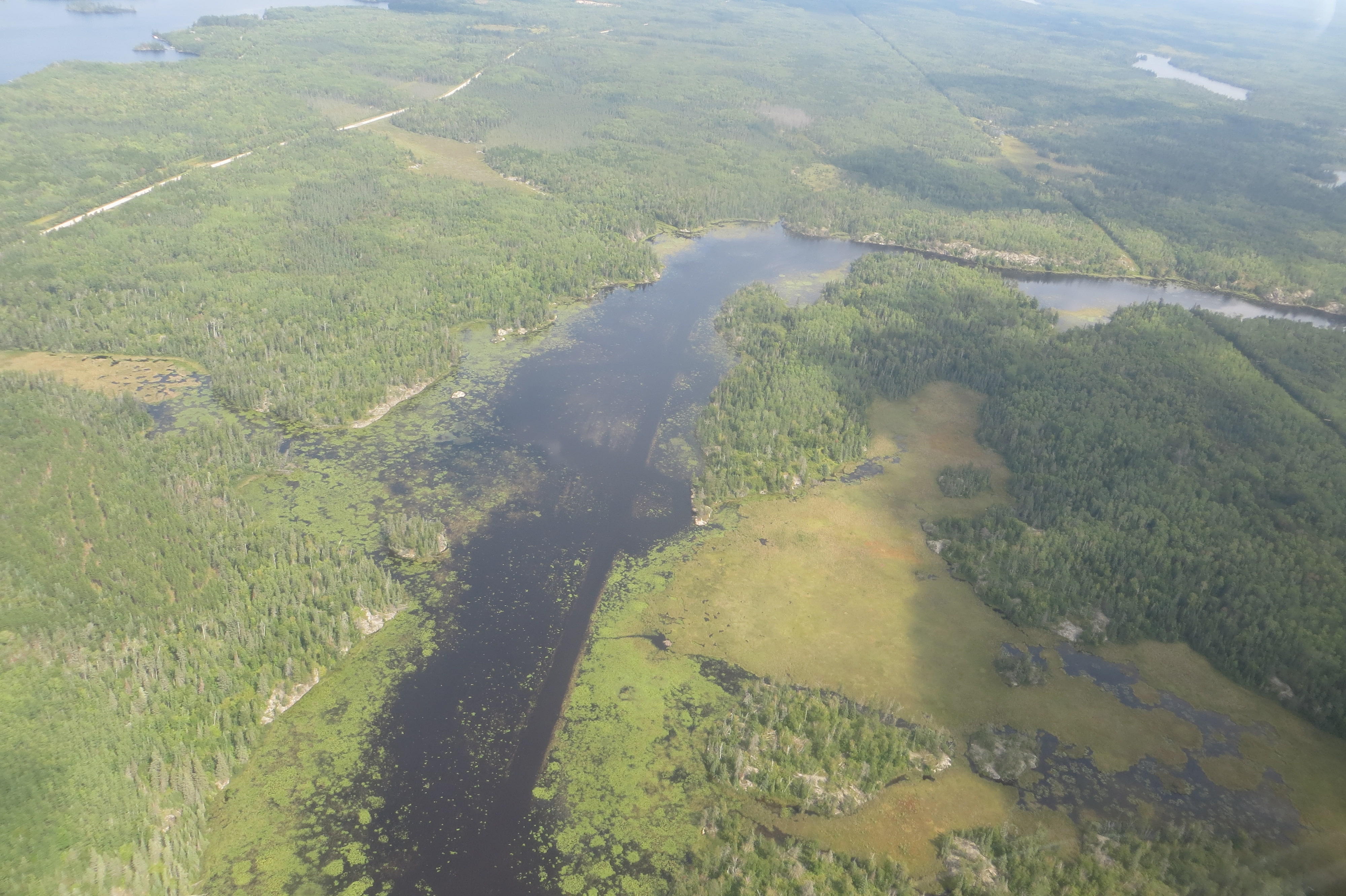
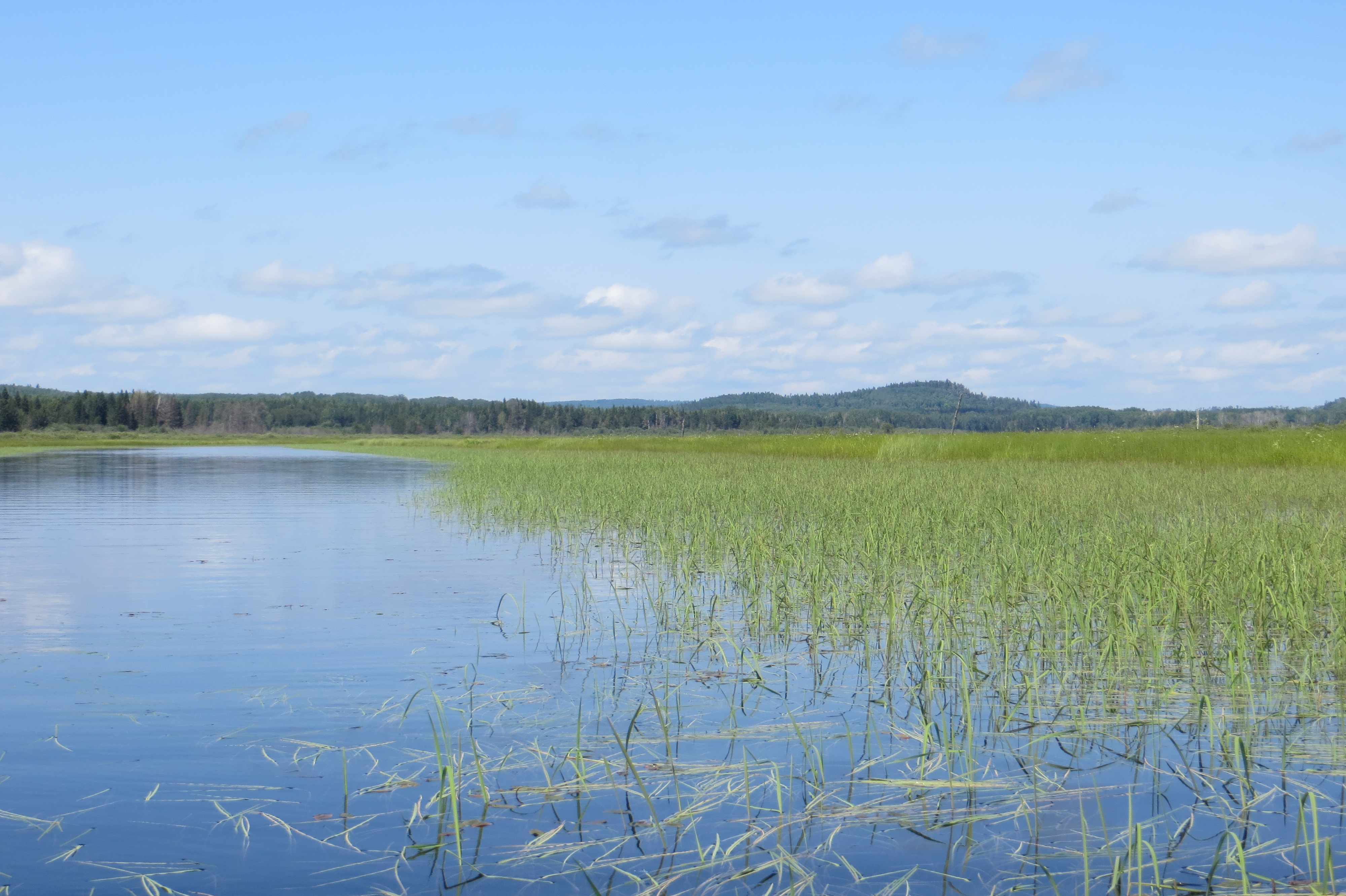
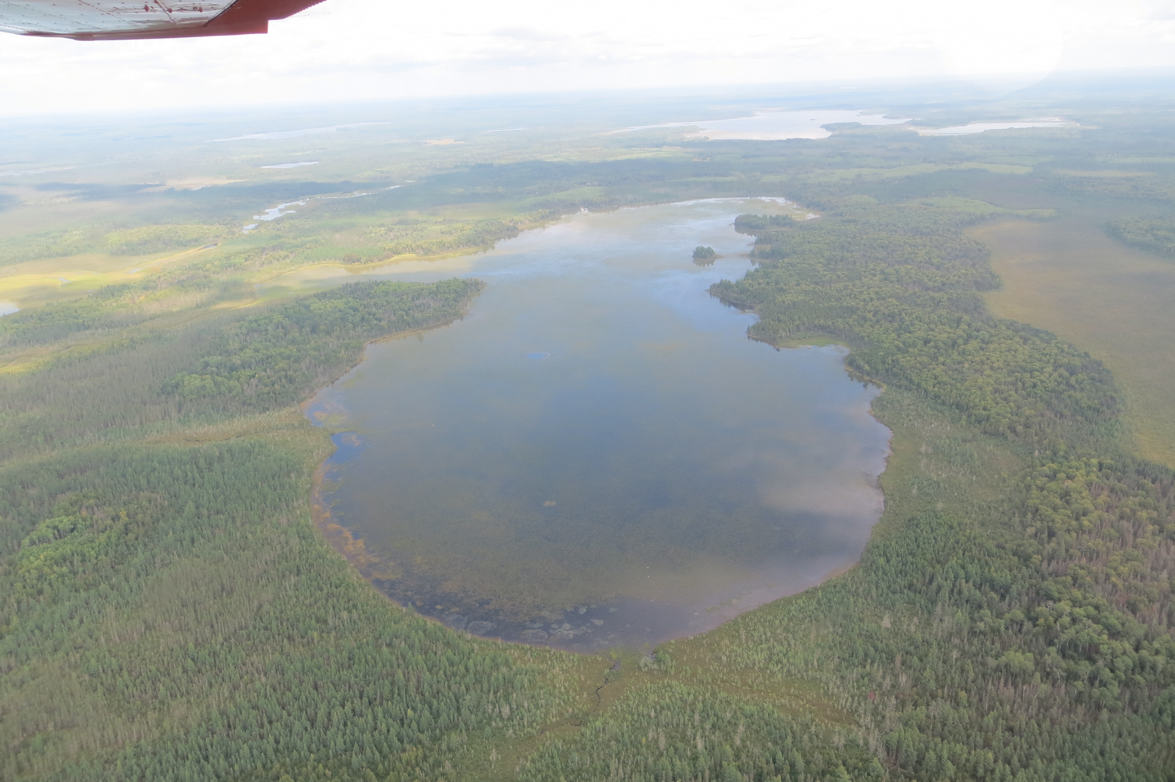
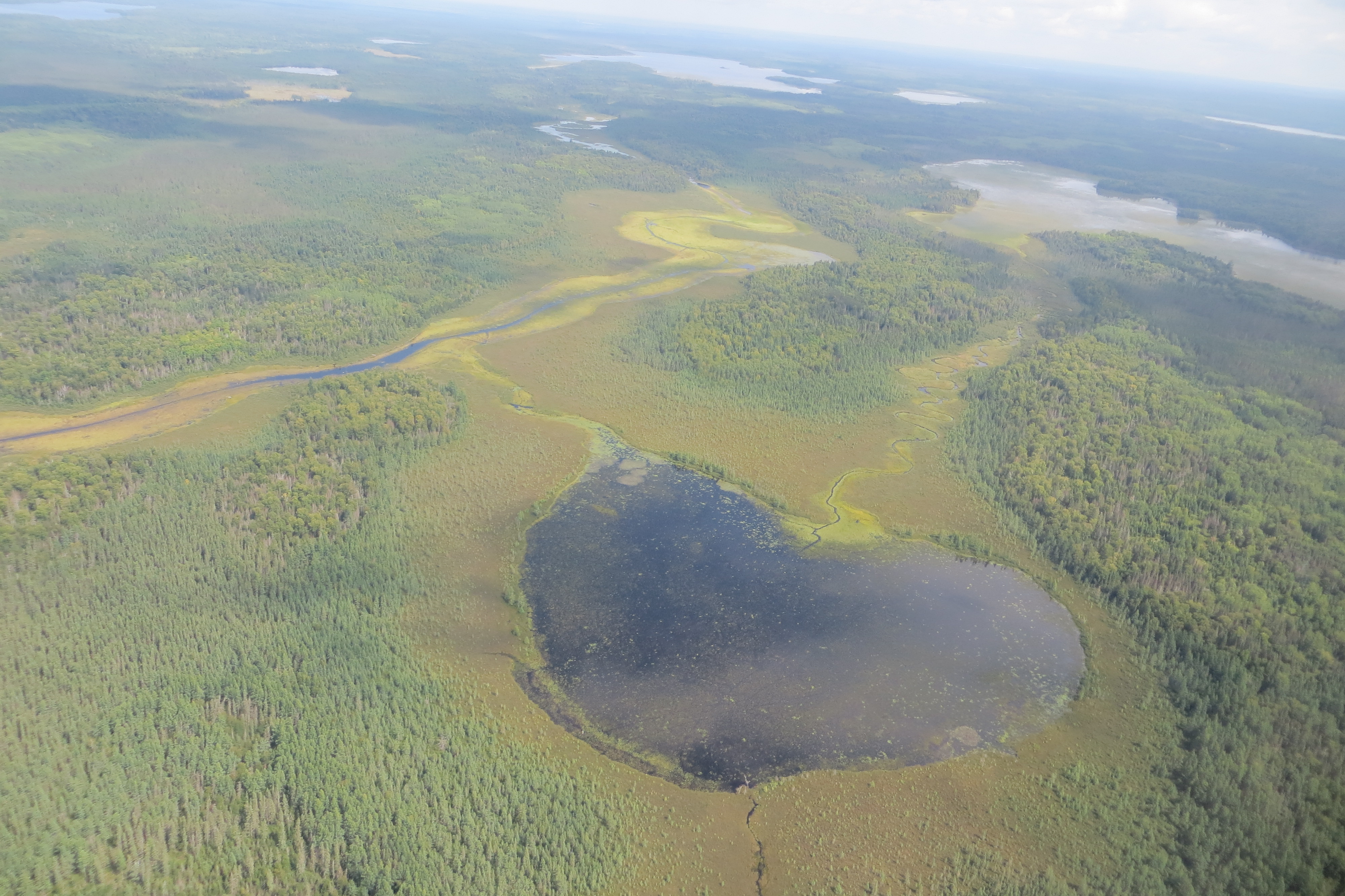
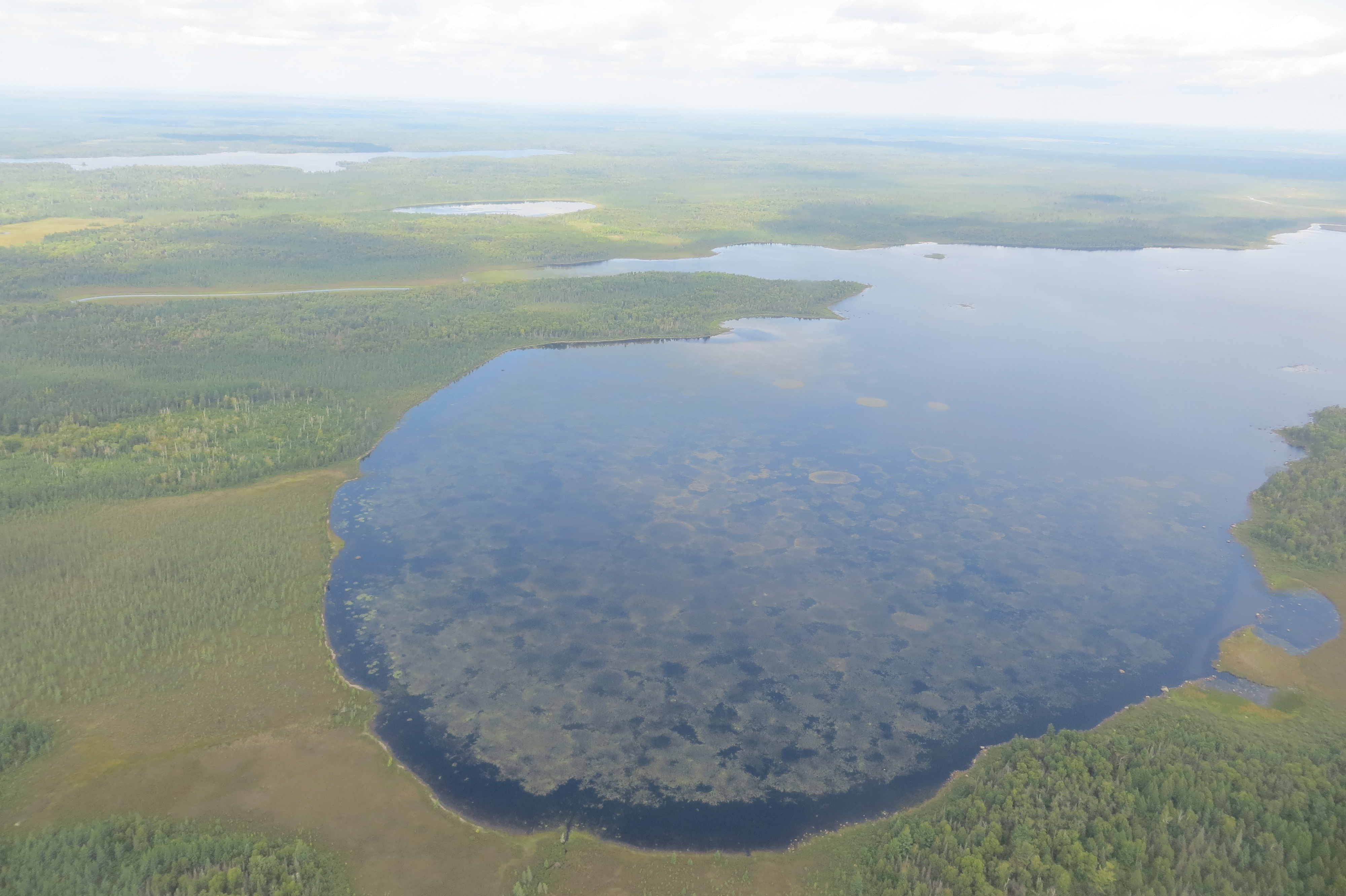
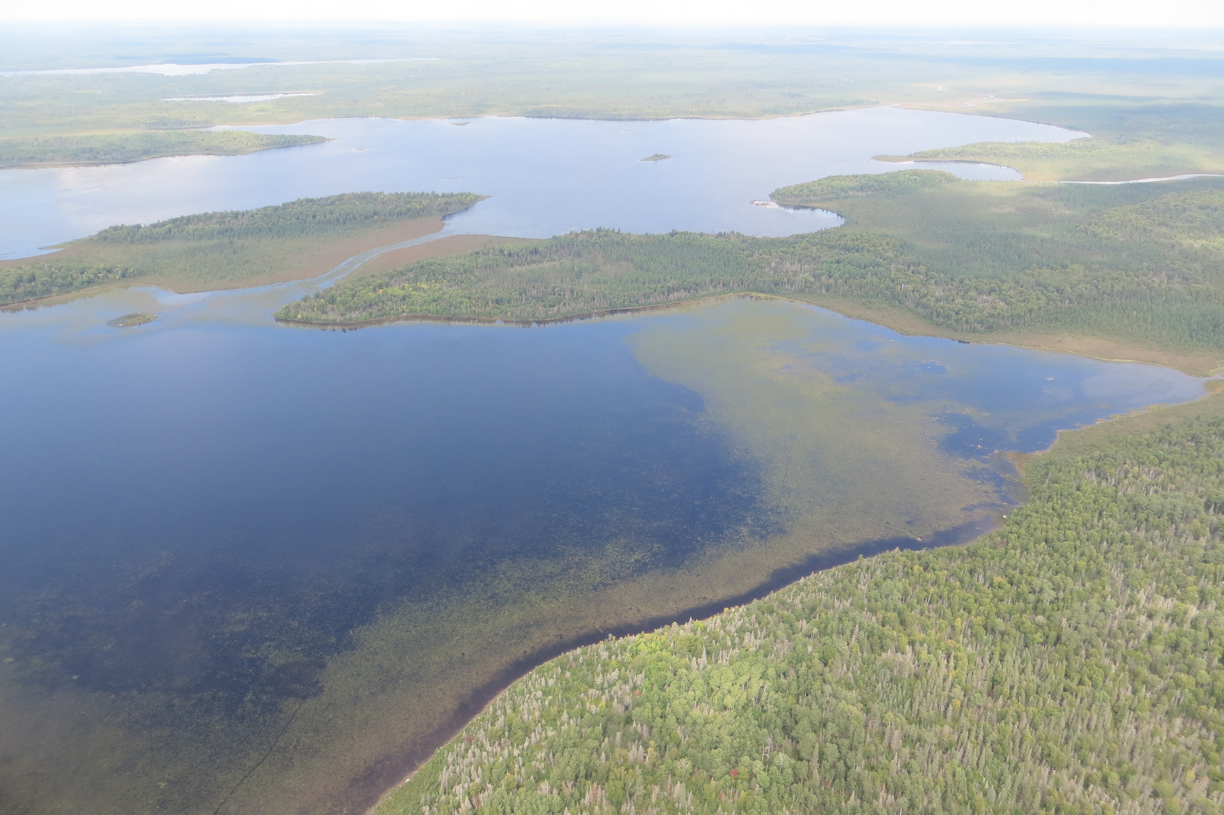
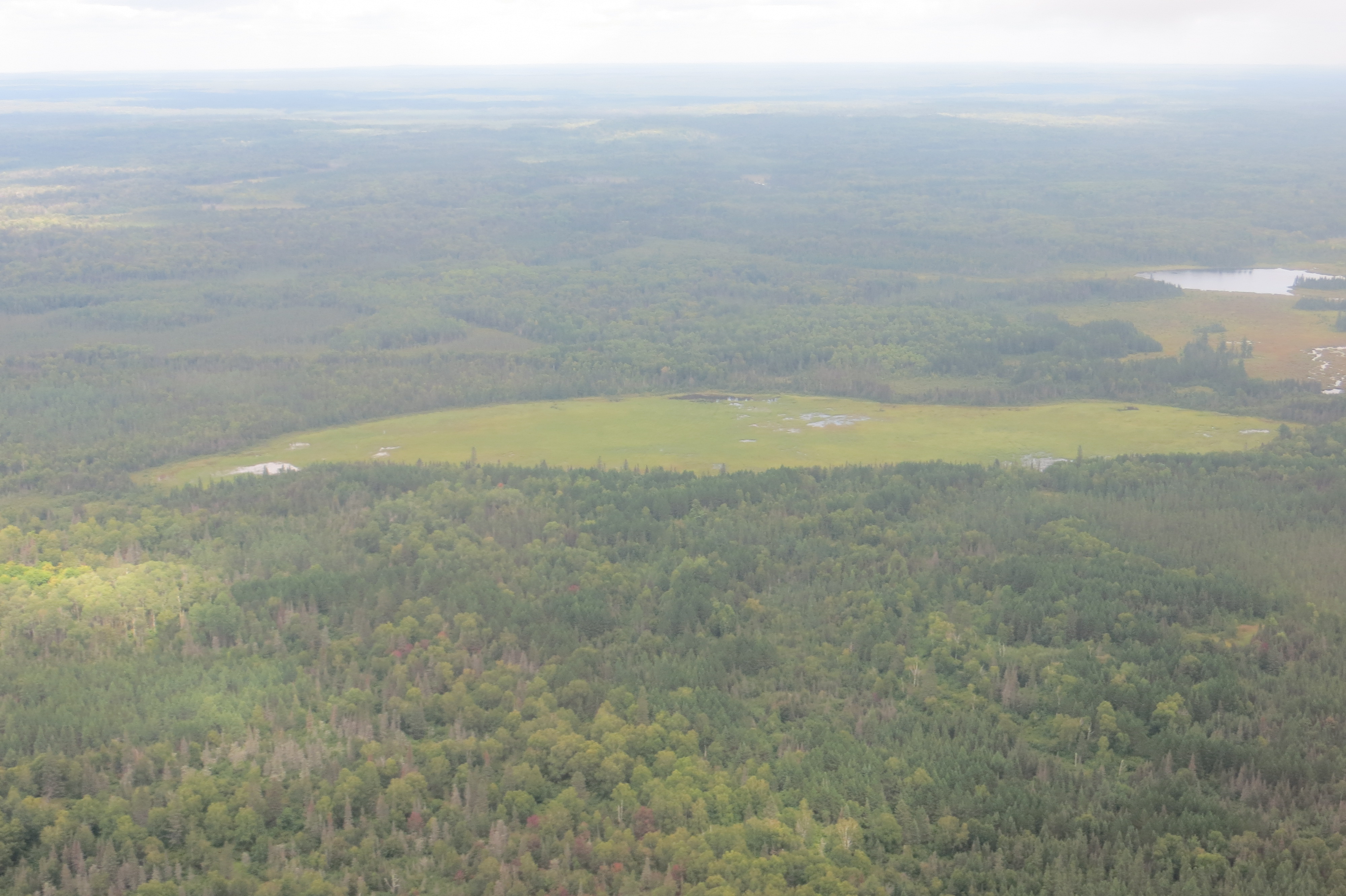
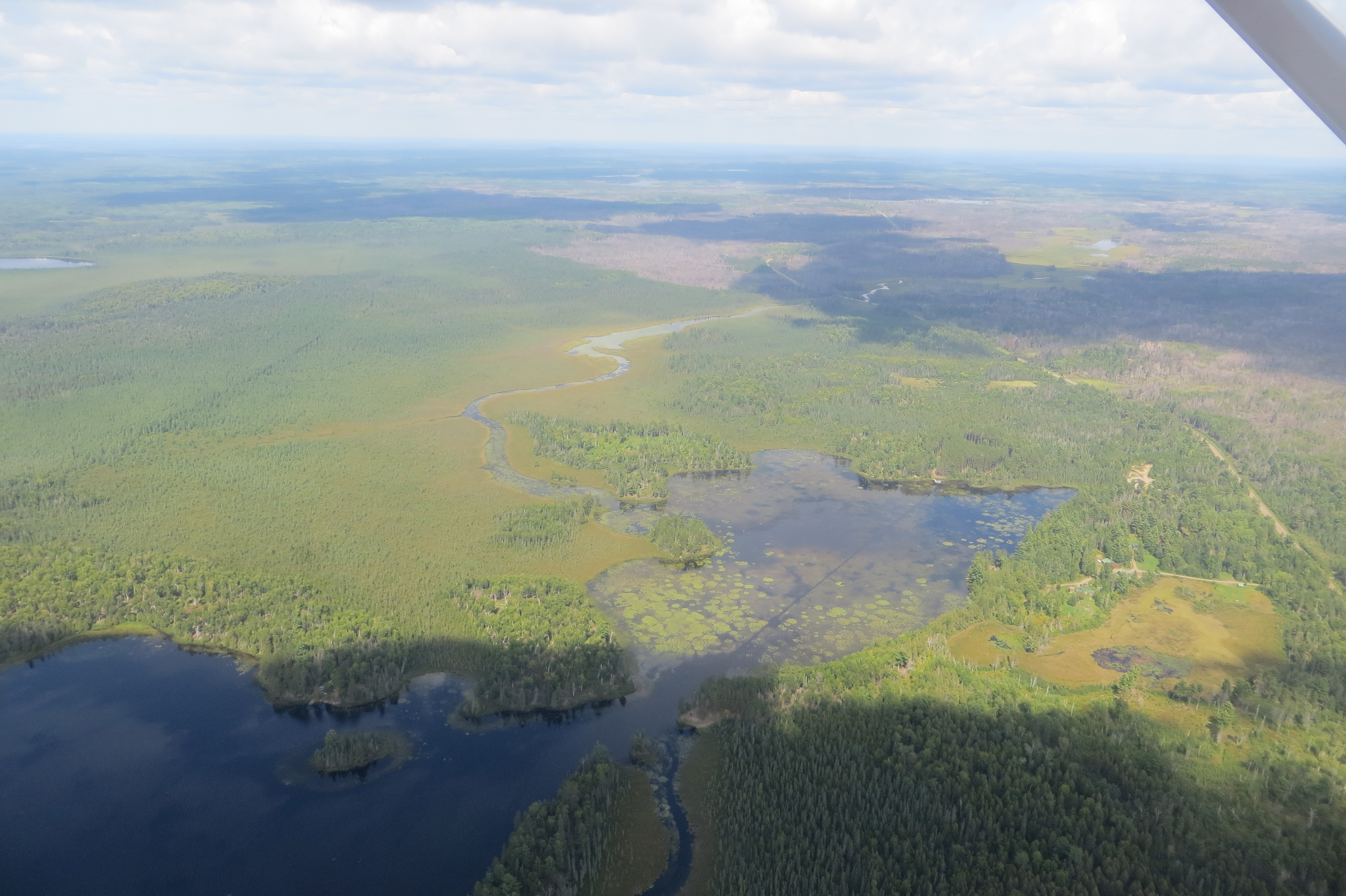
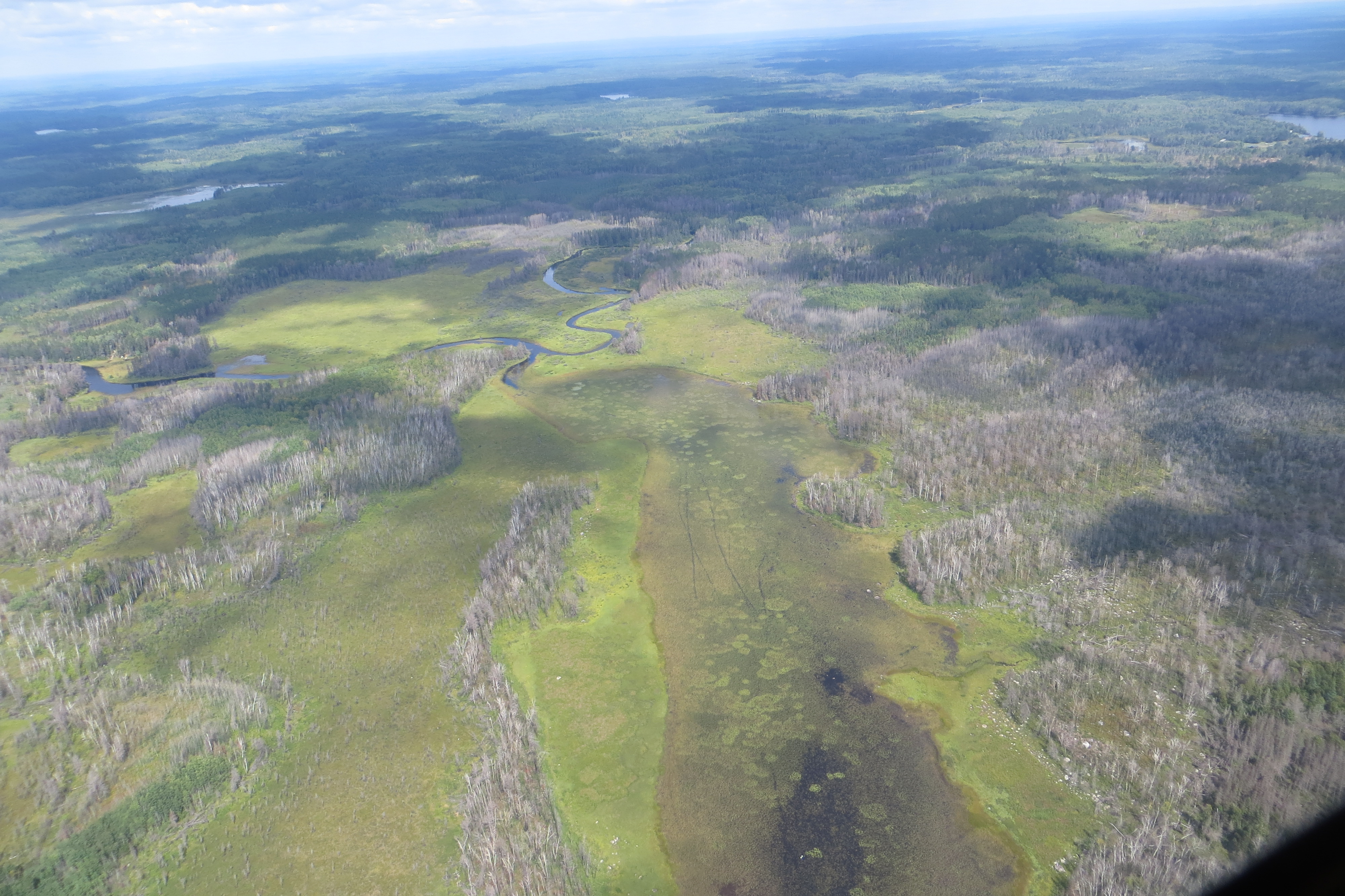
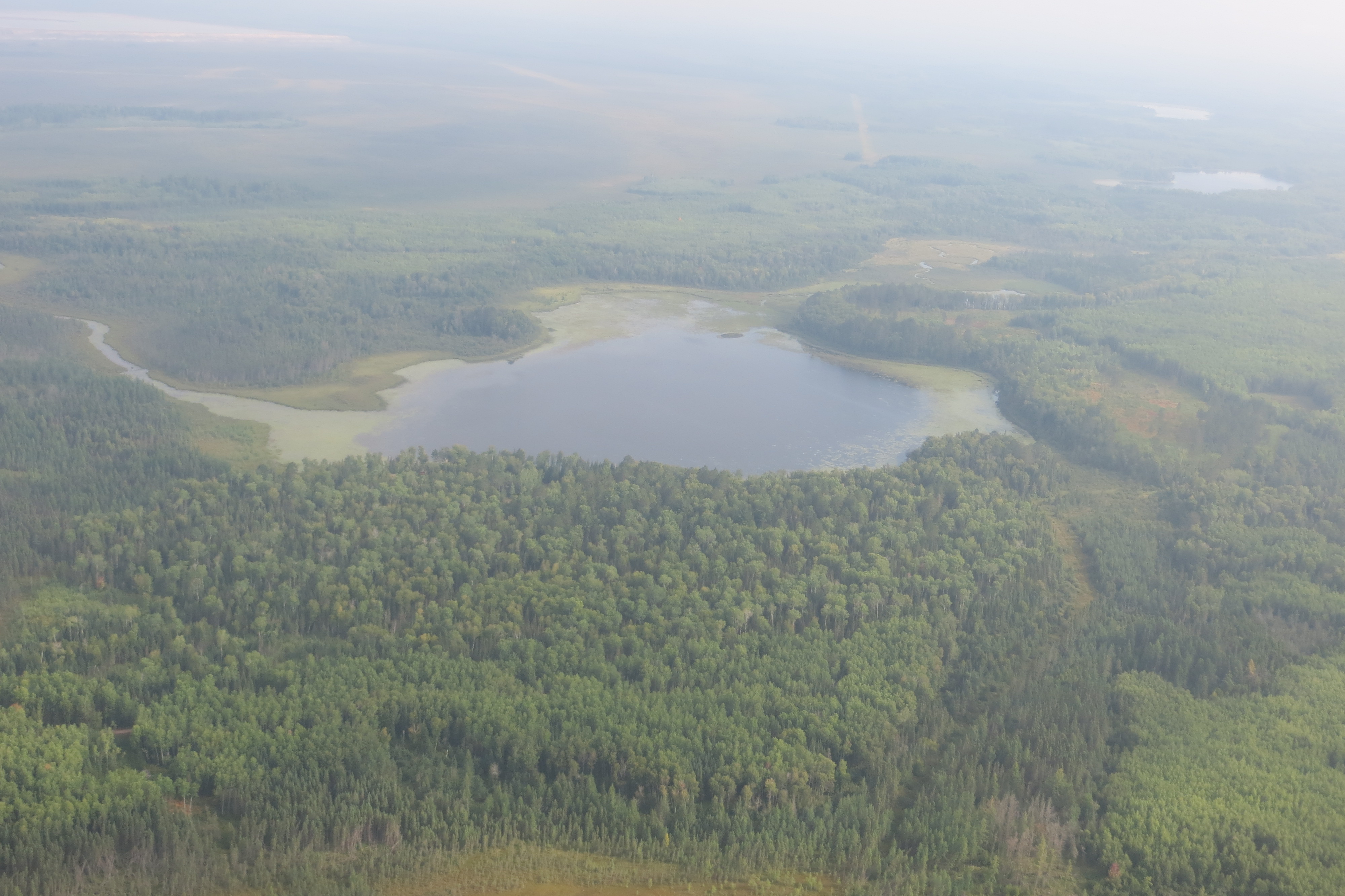
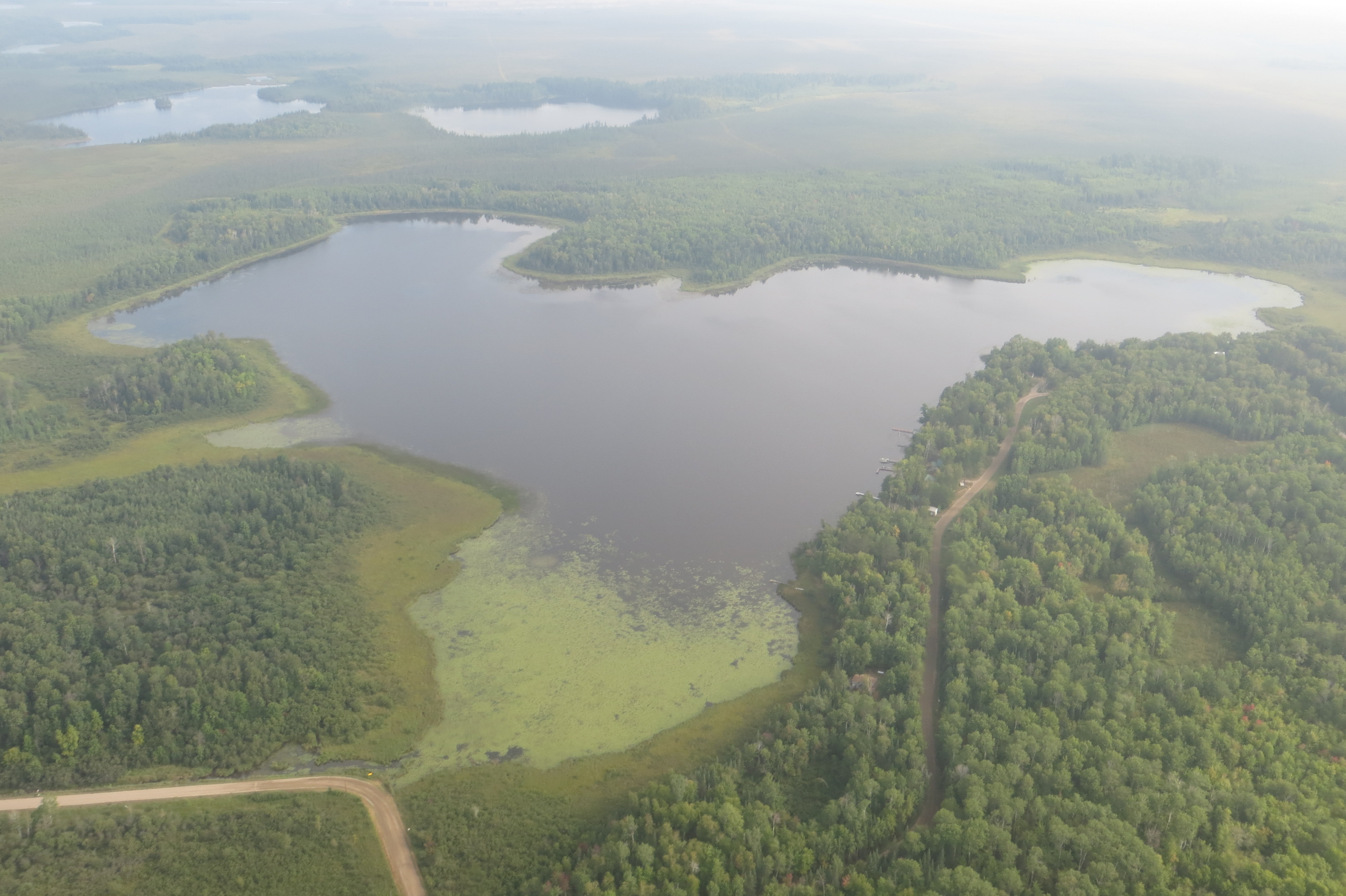
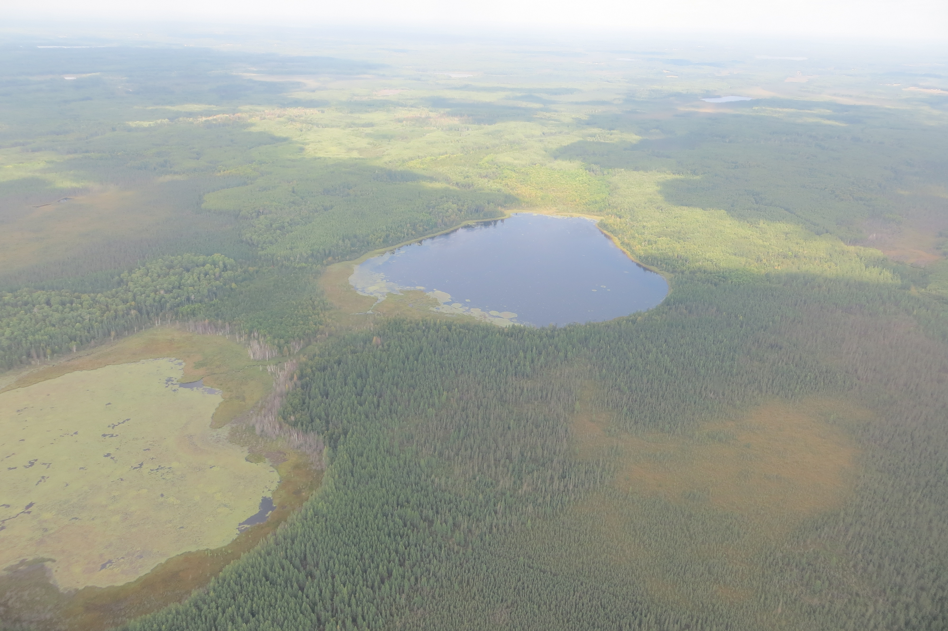
The 1854 Treaty Authority provides wild rice condition updates on waters included in the wild rice monitoring program, and on other lakes and rivers as information becomes available. Updates are provided periodically throughout the growing season and as harvest time approaches. Some information shared from other partners including the Minnesota Department of Natural Resources. Additional condition and other information can be found on the Minnesota Department of Natural Resources wild rice page. Aerial photographs were taken in cooperation with other partners (Minnesota Department of Natural Resources, Fond du Lac Band, 1854 Treaty Authority, U.S. Forest Service) on 8/28/2023 and 8/29/2023.
Please click list of wild rice processors and buyers for information developed by the Minnesota Department of Natural Resources for the 2022 season.
| Water Body | Location | Date | Wild Rice Conditions | Photos |
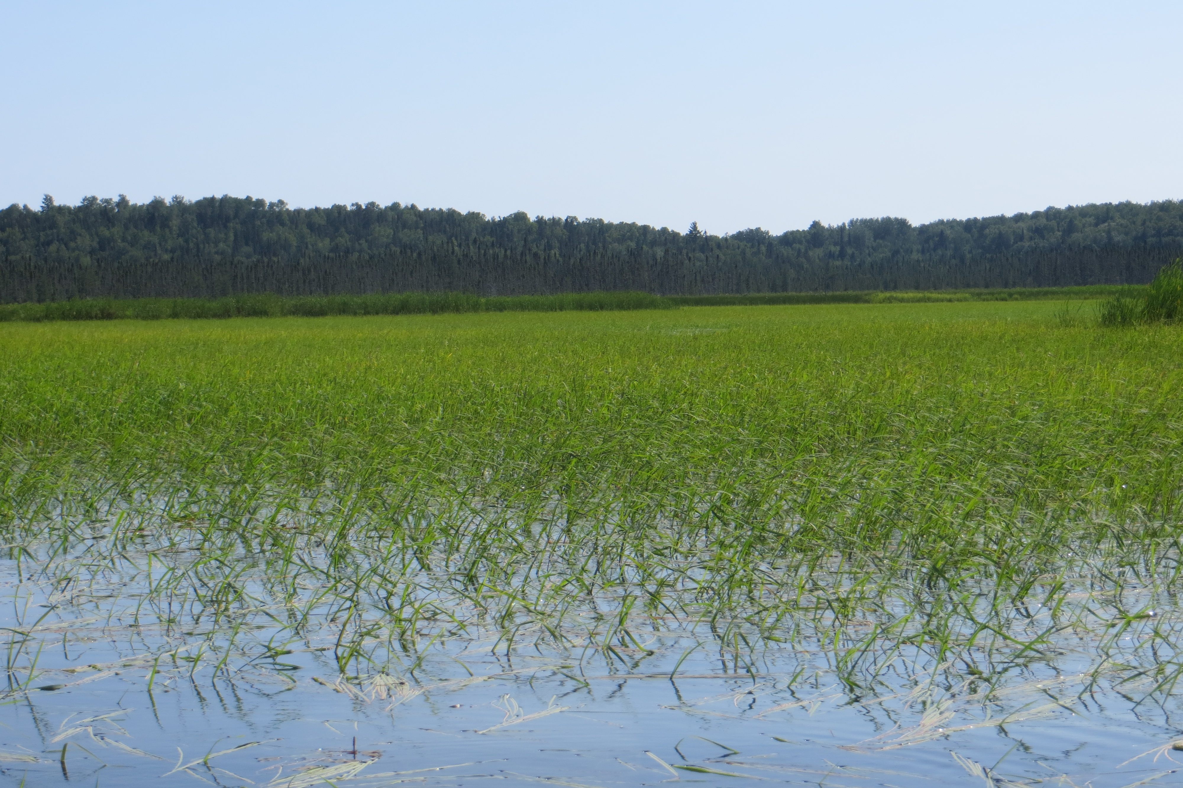
| Big Rice Lake | FR #247, N of Virginia | 8/21/23 | area of sparse to moderate density wild rice in center of lake, sparse wild rice elsewhere, plants standing 1-2 feet, seeds empty/milky/filling and soft |
|
| Breda Lake | CR #44, N of Brimson (paddle down Petrel Creek) | 8/24/23 | moderate density wild rice over about half of lake, thicker on north end, sparse on south end, most plants standing 2-3 feet, most seeds milky or filling and soft |
|
| Cabin Lake | FR #359, E of Isabella (rough access road) | 8/31/23 | moderate density wild rice on south and north ends, sparse wild rice or open water in center, wild rice standing 1-2 feet, some taller, thick rice in short section of Hoist Creek on north end, seeds filling and soft with a few ripening |
|
| Campers Lake | CR #2 W of Isabella (paddle down Stony River) | 8/31/23 | wild rice over about half of lake, most moderate density, plants standing 1.5-3 feet, some taller, rice milky to ripening |
|
| Cramer Lake | CR #7, NE of Finland | 8/31/23 | good density wild rice over most of lake, most wild rice standing 2-3 feet, shorter plants in some areas of the lake, most seeds filling and soft, some ripening |
|
| Kettle Lake | Kettle Lk Rd (off Hwy 210), SE of Cromwell | 8/18/23 | moderate to good density wild rice along shore and down outlet, sparse in center of lake, wild rice standing 1-3 feet with some taller, most seeds empty or milky, some seeds filling and soft |
|
| Little Rice Lake | CR #304, N of Virginia | 8/10/23 | sparse wild rice plants, plants standing 1.5-2 feet, thick other vegetation (watershield) |
|
| Round Island Lake | FR #172, E of Isabella (rough access road) | 8/31/23 | sparse and short stalks of wild rice, thick other vegetation (watershield) |
|
| Stone Lake | FR #120, E of Hoyt Lakes (longer carry-down) | 8/22/23 | sparse wild rice plants across north end of lake, small patch of moderate wild rice down into south end, wild rice standing 1-2 feet, seeds empty or milky, thick other vegetation (water lilly) |
|
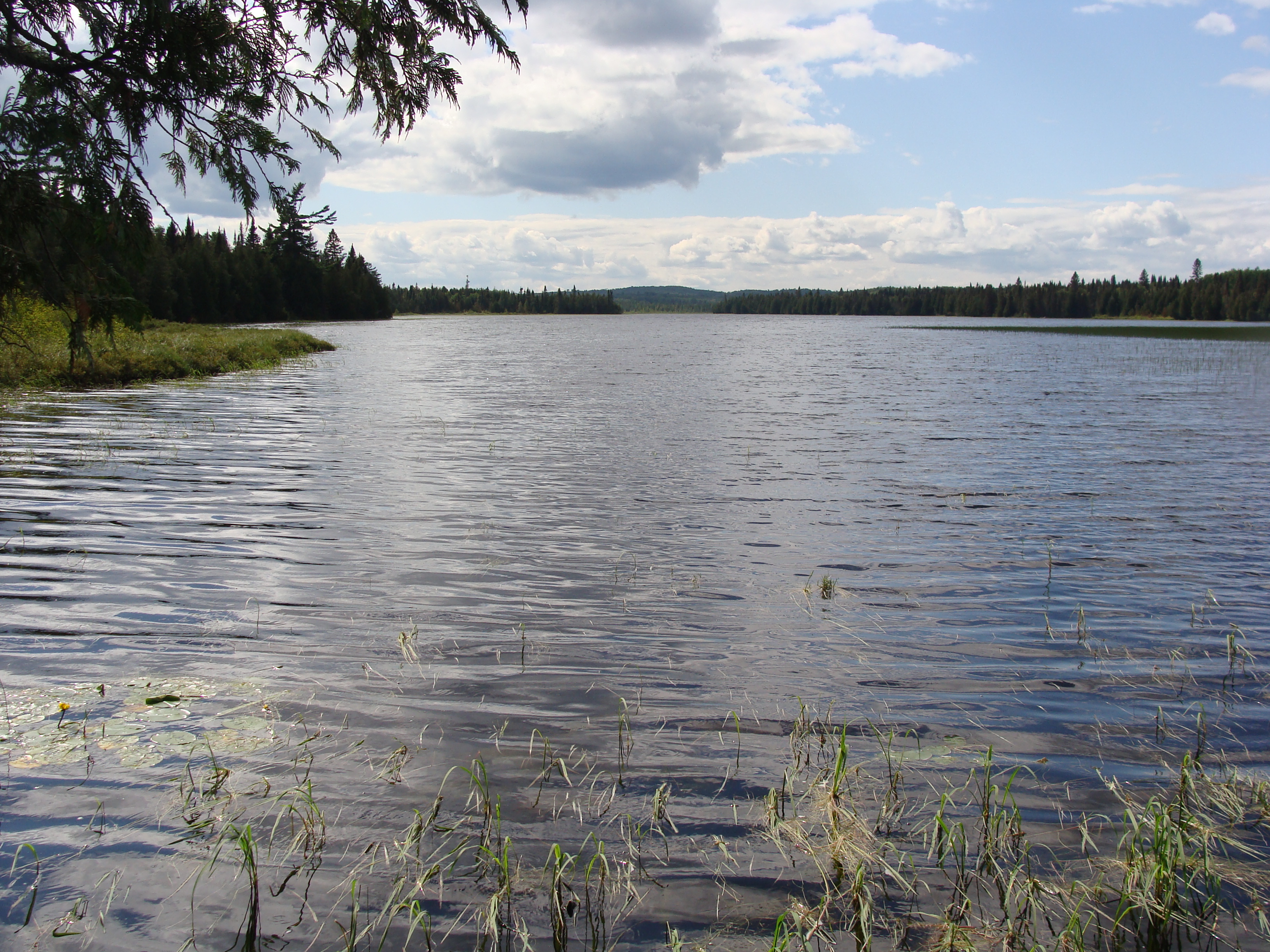
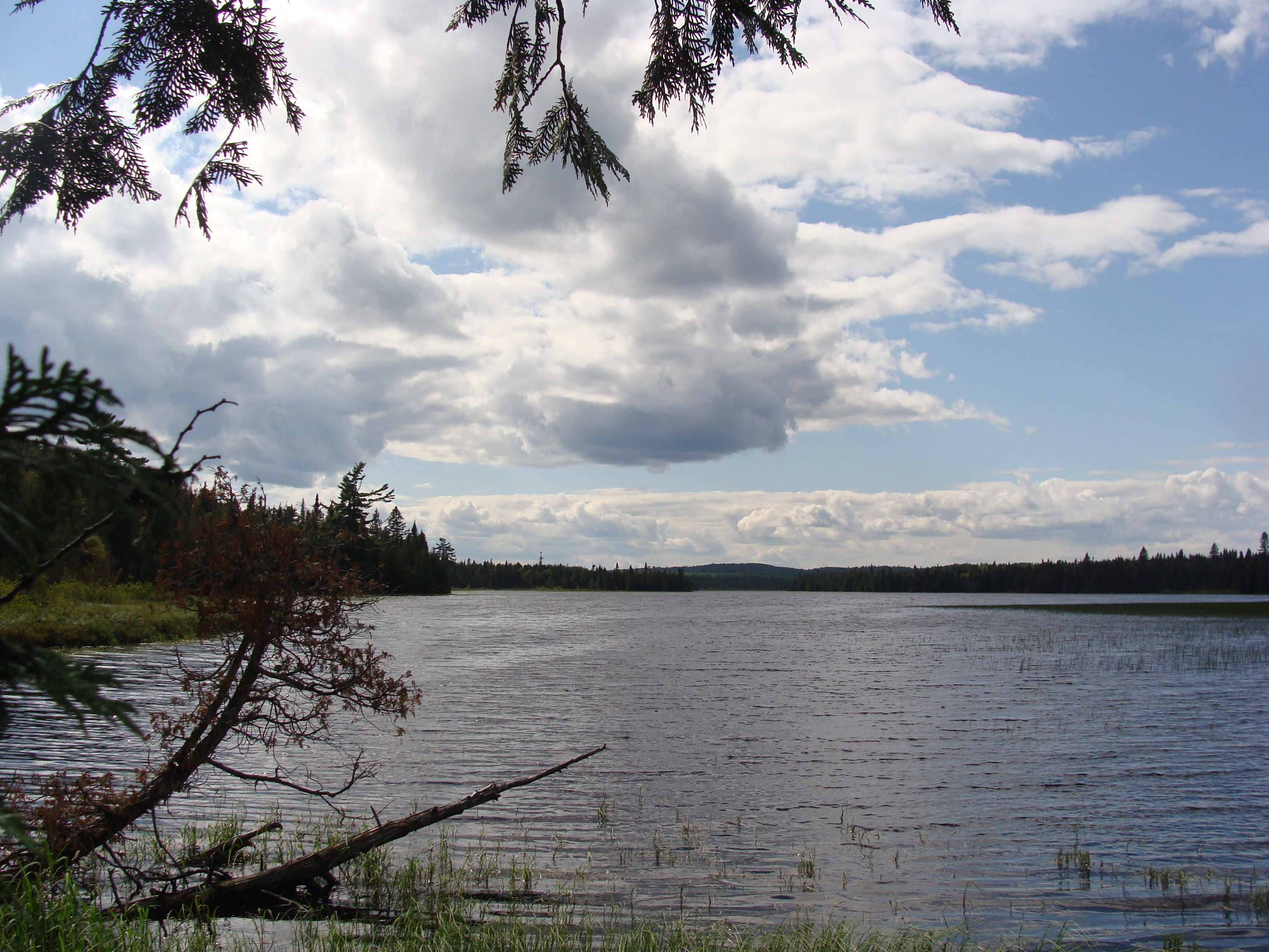
| Vermilion River | FR #4538, W of Crane Lake | 8/17/23 | good wild rice stands along river channel near Goldmine Resort, most rice standing 2-4 feet, some taller (up to 6 feet), seeds mix of empty/milky/filling and soft (7/31 - good wild rice stands along banks of river off County Road 24 south of Buyck, beaver dams in creek for access) |
|
| Clark Lake | CR #2, N of Two Harbors | 8/29/23 | appears moderate to good density wild rice over good portion of lake (viewed from air) |
|
| Leeman Lake | Hwy #73 (Ricehaven Road), S of Floodwood | 8/4/23 | no wild rice observed from shore, thick other vegetaton (watershield) |
|
| Wolf Lake | CR #547, W of Brimson | 8/14/23 | sparse to moderate density wild rice along shore, wild rice standing 1-3 feet, seeds empty or milky |
|
| Tommila Lake | FR #412, N of Brimson (longer carry-down) | 8/14/23 | sparse to moderate density wild rice along shore |
|
| St. Louis River | FR #795 (Skibo), E of Hoyt Lakes | 8/14/23 | moderate wild rice density along river channel, thicker density where channel narrows, plants standing 2-3 feet, seeds milky/soft/becoming firm |
|
| St. Louis River | FR #130 (Norway Point), S of Hoyt Lakes | 8/14/23 | good density wild rice along river channel, plants standing up to 3-4 feet, seeds milky/soft becoming firm |
|
| Turpela Lake | CR #100, S of Aurora | 8/14/23 | wild rice over most of lake, appears sparse to moderate density | |
| Moose Lake | CR #461, W of Britt (FR #11367 longer carry- down or ATV) | 8/10/23 | moderate density wild rice along shore, sparse or open water elsewhere, plants standing 2.5-3 feet, seeds still empty |
|
| Island River | FR #377/379, N of Isabella | 8/14/23 | moderate to good density wild rice along river channel (FR #377) and covering bay in river (FR #379), most plants standing 1-2 feet, some taller |
|
| McDougal lakes | FR #106, W of Isabella | 8/19/23 | North McDougal Lake - small moderate density wild rice patches near public access; McDougal Lake channel - good density wild rice along channel between lakes; Middle McDougal - sparse wild rice; seeds mix of empty/milky/filling and soft |
|
| Fourmile Lake | FR #170, N of Tofte | 8/28/23 | appears areas of sparse wild rice in south bay of lake (viewed from air) |
|
| Greenwood Lake | CR #2, N of Two Harbors | 8/29/23 |
sparse to moderate density wild rice on south end near access, appears sparse to moderate density on north end (viewed from air) |
|
| Tamarack River / Tamarack Lake | Hwy #210, near Wright | 8/29/23 | good density wild rice in river near highway, highway closed at river in Wright for road construction (8/4/23), appears moderate to good density wild rice in narrows of lake (viewed from air) |
|
| Tamarack River / Long Lake | Hwy #210, near Wright | 8/29/23 | appears good density wild rice in river (viewed from air) |
|
| Mark Lake | FR #161, W of Grand Marais | 8/9/23 | sparse wild rice along shore, middle of lake appears open, wild rice floating-leaf to standing 2 feet, some plants flowering |
|
| Elbow Lake | CR #12 (Gunflint Trail), N of Grand Marais | 8/28/23 | appears sparse wild rice in south bay (viewed from air) |
|
| Northern Light Lake | CR #12 (Gunflint Trail), N of Grand Marais | 8/28/23 | appears areas of sparse wild rice (viewed from air) |
|
| Moosehorn River | CR #61, S of Moose Lake | 8/4/23 | moderate to good density wild rice along river banks, most standing 2-3 feet, some taller, many plants flowering |
|
| Birch Lake | CR #407, N of Babbitt | 8/10/23 | moderate density wild rice along shore and in small bays down west arm of lake, wild rice standing 2-3 feet, seed empty or milky |
|
| Swamp River | CR #16 (Arrowhead Trail), or Otter Lake Road, N of Hovland | 8/9/23 | strip of good density wild rice along both shores on north end, most standing 1-2 feet, some taller, plants flowering, wider patches of wild rice toward south stretch of river |
|
| Cloquet Lake | FR #102, W of Finland | 8/14/23 | sparse wild rice along shore, plants standing 1-3 feet |
|
| Sand River | Hwy #169, N of Virginia | 8/10/23 | sparse to moderate density wild rice along banks, plants standing 2 feet (viewed from road), no report from further upstream |
|
| Pike River | CR #26, S of Tower | 8/10/23 | few stalks of wild rice observed from shore, plants standing 2-3 feet |
|
| Little Indian Sioux River | CR #116 (Echo Trail), E of Buyck | 7/31/23 | good density wild rice along river channel |
|
| Butterball Lake | FR #795, E of Hoyt Lakes | 8/29/23 | appears moderate density wild rice over most of lake (viewed from air) |
|
| Little Butterball Lake | FR #795, E of Hoyt Lakes | 8/29/23 | appears sparse to moderate densoity wild rice across lake (viewed from air) |
|
| Seven Beaver Lake | FR #418, E of Hoyt Lakes (difficult access) | 8/29/23 | appears some areas of sparse or moderate density wild rice (viewed from air) |
|
| Round Lake | FR #418, E of Hoyt Lakes (difficult access) | 8/29/23 | appears some areas of moderate to good density wild rice (viewed from air) |
|
| Legler Lake | CR#2, N of Two Harbors (Kane Lake Rd, FR #839, ATV trail) | 8/29/23 | appears good density wild rice over most of lake (viewed from air) |
|
| Sand Lake | CR #2, N of Two Harbors | 8/29/23 | appears sparse rice in north bay of lake (viewed from air) |
|
| Stony Lake | CR #2, N of Two Harbors | 8/29/23 | appears moderate to good density wild rice over much of lake (viewed from air) |
|
| Papoose Lake | CR #44, N of Duluth (canoe river from Indian Lake) | 8/29/23 | appears sparse to moderate density wild rice across lake (viewed from air) |
|
| Stone/East Stone/West Stone Lakes | CR #319, S of Zim | 8/28/23 | appears moderate density wild rice along shore on East Stone Lake, sparse wild rice in Stone Lake, sparse wild rice in West Stone Lake (viewed from air) |
|
| Wabuse/Washusk #1/Washusk #2 Lakes | CR#351, E of Cotton (difficult accesss) | 8/29/23 | appears other vegetation present and little rice evident (viewed from air) |
|
.jpg)
(CR - county road, FR - forest road, HWY - highway)
Friendly reminders:
- Access to some lakes may be difficult. Please plan ahead and check into access before heading out.
- These updates are not a complete list of conditions in the 1854 Ceded Territory this year. Only lakes and rivers that we have reports on are listed. Scouting other potential rice waters may lead to success.
- It is illegal to harvest unripe wild rice. Please be sure that the rice is ripe and ready for harvest.
Posting opening dates:
In the 1854 Ceded Territory, no lakes/rivers are planned to be posted with opening dates for wild rice harvest in 2023. Information will be provided here if that changes. Unless specifically posted, waters are open by the "green rice law", meaning that they are open for harvest when stands are ripe (and within the season begining August 15th). It is the responsibility of ricers to properly make this determination.